| Distance / Altitude | Location | Report Date / Time | Live Weather | Wind | Gusts | Temp. | Visibility | Cloud |
|---|---|---|---|---|---|---|---|---|
| 12 km WNW / 19 m | SecretaryIslandAws (New Zealand) | 2026-04-09 02:00 local (2026/04/08 14:00 GMT) | - | light winds from the N (11 km/h at 350) | 15°C | - | - no observation - | |
| 99 km S / 44 m | PuysegurPointAws (New Zealand) | 2026-04-09 02:00 local (2026/04/08 14:00 GMT) | - | near gales from the NNW (54 km/h at 340) | 14°C | - | - no observation - | |
| 102 km NE / 3 m | Milford Sound Airport Automatic Weather Station (New Zealand) | 2026-04-09 02:00 local (2026/04/08 14:00 GMT) | - | light winds from the NW (7 km/h at 320) | — | 10 km | no observation | |
| 102 km NE / 3 m | Milford Aero Automatic Weather Station (New Zealand) | 2026-04-09 01:00 local (2026/04/08 13:00 GMT) | - | light winds from the NNW (15 km/h at 330) | — | 10 km | - no observation - | |
| 134 km ENE / 1000 m | Skyline Gondola (New Zealand) | 2026-04-09 02:00 local (2026/04/08 14:00 GMT) | - | calm (2 km/h at 239) | 11°C | - | - - 0 | |
| 142 km ENE / 357 m | QueenstownAeroAws (New Zealand) | 2026-04-09 02:00 local (2026/04/08 14:00 GMT) | Continuous light rain | light winds from the W (7 km/h at 260) | 13°C | 20 km | no observation | |
| 144 km ENE / 1620 m | Coronet Peak Tandems (New Zealand) | 2026-04-09 02:00 local (2026/04/08 14:00 GMT) | - | light winds from the N (7 km/h at 6) | 8°C | - | - - 0 | |
| 145 km ENE / 1200 m | Rocky Gully (New Zealand) | 2026-04-09 02:00 local (2026/04/08 14:00 GMT) | - | light winds from the NE (19 km/h at 49) | 9°C | - | - - 0 | |
| 147 km ENE / 450 m | Flightpark (New Zealand) | 2026-04-09 02:00 local (2026/04/08 14:00 GMT) | - | calm (0 km/h at 312) | 12°C | - | - - 0 | |
| 152 km ENE / 629 m | Terrace SouthernClub (New Zealand) | 2026-04-09 02:00 local (2026/04/08 14:00 GMT) | - | moderate winds from the NNW (22 km/h at 328) | 11°C | - | - - 0 |
| Contours: | Roads & Rivers: | Select a
tide station / surf break / city |
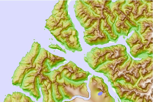
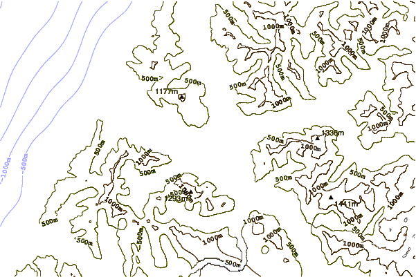
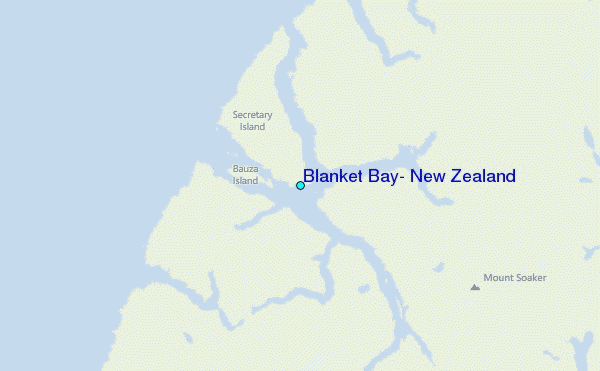
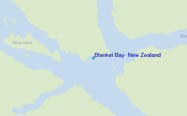
Use this relief map to navigate to tide stations, surf breaks and cities that are in the area of Blanket Bay, New Zealand.
Other Nearby Locations' tide tables and tide charts to Blanket Bay, New Zealand:
click location name for more details
 Surf breaks close to Blanket Bay, New Zealand:
|
||
|---|---|---|
| Closest surf break | Bluecliffs | 62 mi |
| Second closest surf break | Frentzes | 78 mi |
| Third closest surf break | Porridge | 80 mi |
| Fourth closest surf break | Beatons | 81 mi |
| Fifth closest surf break | Colac Bay | 86 mi |


 Nearest
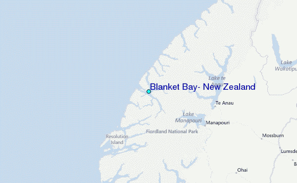