| Distance / Altitude | Location | Report Date / Time | Live Weather | Wind | Gusts | Temp. | Visibility | Cloud |
|---|---|---|---|---|---|---|---|---|
| 59 km ESE / 198 m | Te Anau WS (New Zealand) | 2026-07-10 11:04 local (2026/07/09 23:04 GMT) | Dry | calm (4 km/h at 90) | 2°C | - | - - - | |
| 61 km NW / 15 m | ASCATB167E45S (Marine) | 2026-07-10 09:35 local (2026/07/09 21:35 GMT) | light winds from the ESE (18 km/h at 117) | — | - km | |||
| 67 km ESE / 362 m | Lynwood Road Hilltop (New Zealand) | 2026-07-10 11:00 local (2026/07/09 23:00 GMT) | Dry | calm (0 km/h at 0) | 0°C | - | - - - | |
| 73 km ESE / 309 m | Wilderness (New Zealand) | 2026-07-10 11:00 local (2026/07/09 23:00 GMT) | Dry | calm (2 km/h at 135) | 0°C | - | - - - | |
| 75 km SE / 234 m | Blackmount (New Zealand) | 2026-07-10 11:00 local (2026/07/09 23:00 GMT) | Dry | wind obs. (13 kph from 90 degs) was rejected (- km/h at -) | 1°C | - | - - - | |
| 93 km NW / 15 m | ASCATB167E44S (Marine) | 2026-07-10 09:34 local (2026/07/09 21:34 GMT) | light winds from the ENE (13 km/h at 77) | — | - km | |||
| 101 km SE / 124 m | Birchwood Automatic Weather Station (New Zealand) | 2026-07-10 11:10 local (2026/07/09 23:10 GMT) | Dry | light winds from the W (11 km/h at 270) | 2°C | - | - - - | |
| 109 km SE / 83 m | Tuatapere (New Zealand) | 2026-07-10 10:00 local (2026/07/09 22:00 GMT) | Dry | calm (4 km/h at 270) | 1°C | - | - - - | |
| 109 km ESE / 278 m | Barn Hill (New Zealand) | 2026-07-10 11:00 local (2026/07/09 23:00 GMT) | Recent light snow | calm (2 km/h at 45) | 1°C | - | - - - | |
| 120 km SE / 93 m | Wreys Bush (New Zealand) | 2026-07-10 10:00 local (2026/07/09 22:00 GMT) | Dry | light winds from the NW (13 km/h at 315) | 0°C | - | - - - |
| Contours: | Roads & Rivers: | Select a
tide station / surf break / city |
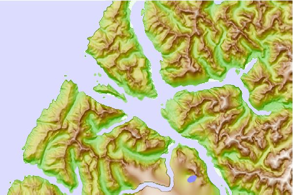
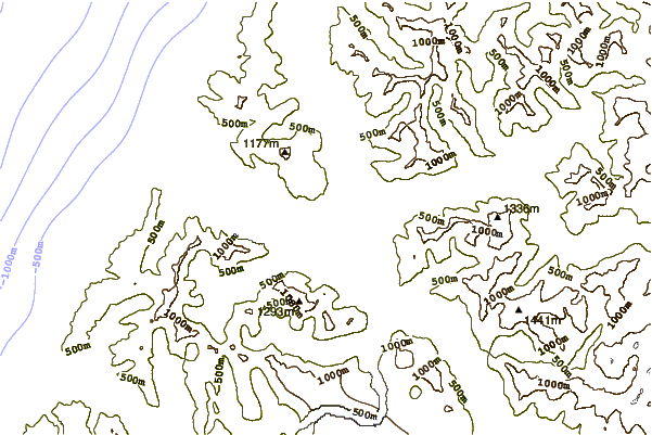
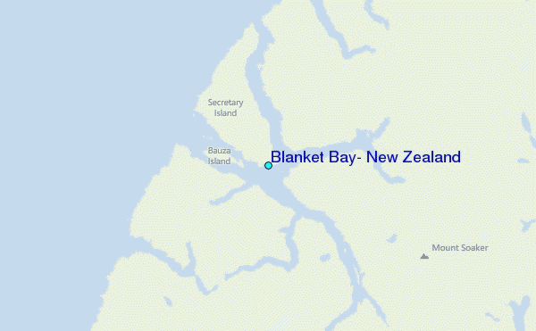
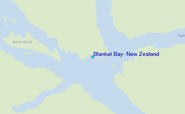
Use this relief map to navigate to tide stations, surf breaks and cities that are in the area of Blanket Bay, New Zealand.
Other Nearby Locations' tide tables and tide charts to Blanket Bay, New Zealand:
click location name for more details
 Surf breaks close to Blanket Bay, New Zealand:
|
||
|---|---|---|
| Closest surf break | Bluecliffs | 62 mi |
| Second closest surf break | Frentzes | 78 mi |
| Third closest surf break | Porridge | 80 mi |
| Fourth closest surf break | Beatons | 81 mi |
| Fifth closest surf break | Colac Bay | 86 mi |


 Nearest
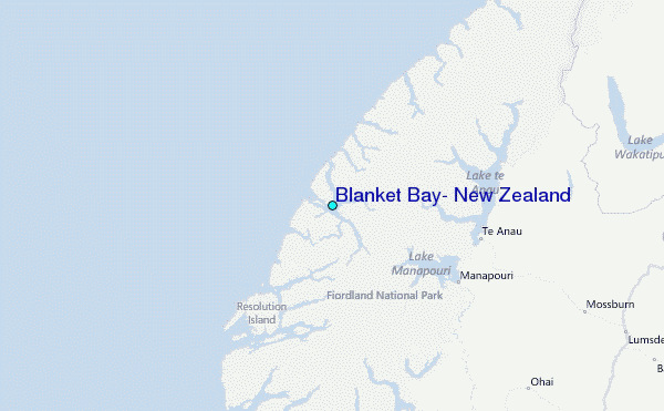