
| Distance / Altitude | Location | Report Date / Time | Live Weather | Wind | Gusts | Temp. | Visibility | Cloud |
|---|---|---|---|---|---|---|---|---|
| 190 km NE / 229 m | Daneborg (Greenland) | 2025-12-25 03:00 local (2025/12/25 06:00 GMT) | - | moderate winds from the N (28 km/h at 10) | — | - | - - - | |
| 304 km SSE / 12 m | Constable Point (Greenland) | 2025-12-25 03:00 local (2025/12/25 06:00 GMT) | - | wind obs. (24 kph from 10 degs) was rejected (- km/h at -) | — | - | - overcast - | |
| 340 km SSE / 71 m | Ittoqqortoormiit(Scoresbysund) (Greenland) | 2025-12-25 03:00 local (2025/12/25 06:00 GMT) | Clear skies | light winds from the ESE (7 km/h at 110) | -3°C | 40 km | overcast | |
| 425 km NNE / 231 m | Danmarkshavn (port) (Greenland) | 2025-12-25 03:00 local (2025/12/25 06:00 GMT) | Clear skies | moderate winds from the NW (24 km/h at 310) | -14°C | 45 km | - clear - | |
| 461 km WSW / 3195 m | Navy Operated(amos) (Greenland) | 2025-12-25 03:00 local (2025/12/25 06:00 GMT) | - | wind obs. (2 kph from 100 degs) was rejected (- km/h at -) | — | - | - | |
| 626 km ESE / 1 m | Jan Mayen (1001 -1) (Norway) | 2025-12-25 03:00 local (2025/12/25 06:00 GMT) | State of sky unchanged | light winds from the S (11 km/h at 190) | 2°C | 50 km | - mostly cloudy - | |
| 806 km S / 27 m | Bolungavik (Iceland) | 2025-12-25 03:00 local (2025/12/25 06:00 GMT) | no report | wind obs. (20 kph from 80 degs) was rejected (- km/h at -) | 6°C | - | - - - | |
| 808 km SSE / 17 m | Grimsey (Iceland) | 2025-12-25 03:00 local (2025/12/25 06:00 GMT) | no report | wind obs. (15 kph from 290 degs) was rejected (- km/h at -) | 5°C | - | - | |
| 810 km SSE / 16 m | Grimsey Island Airport (Iceland) | 2025-12-25 03:00 local (2025/12/25 06:00 GMT) | no report | wind obs. (15 kph from 290 degs) was rejected (- km/h at -) | 5°C | 10.0 | few - - | |
| 815 km S / 0 m | Æðey (Iceland) | 2025-12-25 03:00 local (2025/12/25 06:00 GMT) | no report | wind obs. (9 kph from 130 degs) was rejected (- km/h at -) | 6°C | - | - |
| Contours: | Roads & Rivers: | Select a
tide station / surf break / city |
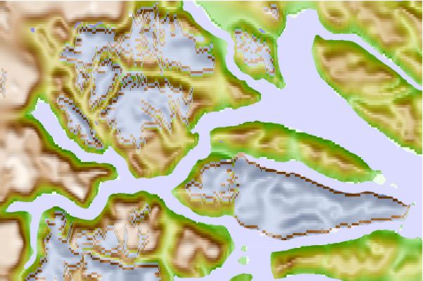
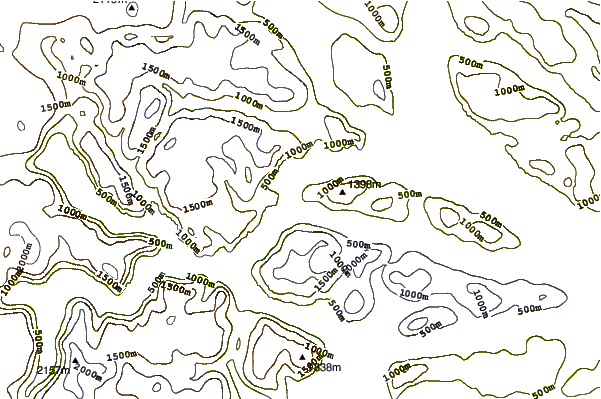
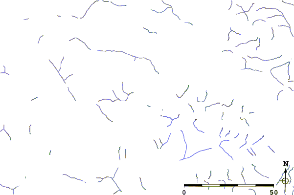
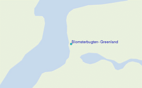
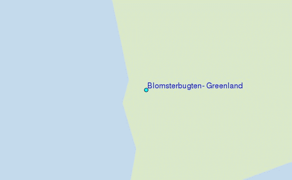
Use this relief map to navigate to tide stations, surf breaks and cities that are in the area of Blomsterbugten, Greenland.
Other Nearby Locations' tide tables and tide charts to Blomsterbugten, Greenland:
click location name for more details
 Surf breaks close to Blomsterbugten, Greenland:
|
||
|---|---|---|
| Closest surf break | Eyvik | 536 mi |
| Second closest surf break | Grotta | 640 mi |
| Third closest surf break | Garur | 644 mi |
| Fourth closest surf break | Hafnarfjordur | 647 mi |
| Fifth closest surf break | Hafnir | 654 mi |


 Nearest
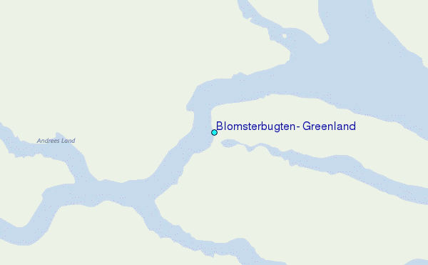