
| Distance / Altitude | Location | Report Date / Time | Live Weather | Wind | Gusts | Temp. | Visibility | Cloud |
|---|---|---|---|---|---|---|---|---|
| 9 km ENE / 125 m | Powell River- BC (Canada) | 2026-04-18 17:00 local (2026/04/19 00:00 GMT) | no report | - (- km/h at -) | 11°C | - | - | |
| 9 km ENE / 387 m | Powell River Airport (British Columbia) | 2026-04-18 17:00 local (2026/04/19 00:00 GMT) | Dry and cloudy | light winds from the ESE.(Wind varies from 070 to 150 degs) (11 km/h at 120) | 13°C | 32 | overcast | |
| 22 km SW / 216 m | Comox Millitary Base Airport (British Columbia) | 2026-04-18 17:40 local (2026/04/19 00:40 GMT) | Dry and cloudy | light winds from the S.(Wind varies from 170 to 230 degs) (7 km/h at 190) | 11°C | 32 | overcast | |
| 22 km SW / 26 m | Cfb- Comox- BC (Canada) | 2026-04-18 18:00 local (2026/04/19 01:00 GMT) | - | light winds from the ESE (7 km/h at 110) | — | 50 km | - overcast - | |
| 28 km S / 75 m | Denman Island (Canada) | 2026-04-18 16:50 local (2026/04/18 23:50 GMT) | dry | calm (0 km/h at 144) | 12°C | - | - - 0 | |
| 29 km W / 3 m | Sentry Shoal Buoy (Marine) | 2026-04-18 18:00 local (2026/04/19 01:00 GMT) | light winds from the E (7 km/h at 90) | 11°C | - | |||
| 30 km W / - m | SHIP417 (ocean) | 2026-04-18 17:00 local (2026/04/19 00:00 GMT) | - | light winds from the ENE (11 km/h at 70) | 10°C | - | no observation | |
| 30 km W / - m | SHIP389 (ocean) | 2026-04-18 18:00 local (2026/04/19 01:00 GMT) | - | light winds from the E (7 km/h at 90) | 11°C | - | no observation | |
| 30 km W / - m | SHIP1250 (ocean) | 2026-04-18 18:00 local (2026/04/19 01:00 GMT) | - | light winds from the E (7 km/h at 90) | 11°C | - | no observation | |
| 37 km SSE / 20 m | Sisters Il Airport (Canada) | 2026-04-18 17:00 local (2026/04/19 00:00 GMT) | - | wind obs. (25 kph from 300 degs) was rejected (- km/h at -) | — | - | - no observation - |
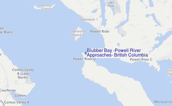
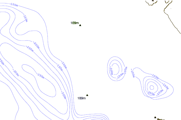
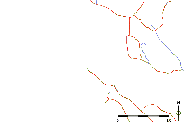
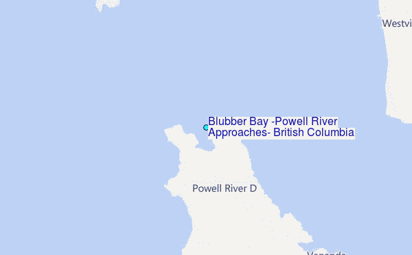
Choose Blubber Bay (Powell River Approaches), British Columbia Location Map Zoom:
| Contours: | Roads & Rivers: | Select a
tide station / surf break / city |
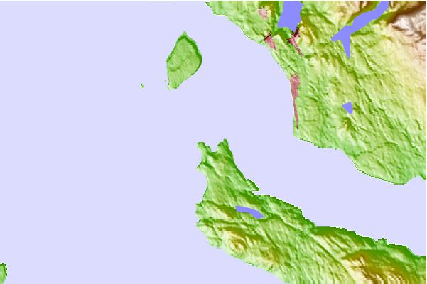
Use this relief map to navigate to tide stations, surf breaks and cities that are in the area of Blubber Bay (Powell River Approaches), British Columbia.
Other Nearby Locations' tide tables and tide charts to Blubber Bay (Powell River Approaches), British Columbia:
click location name for more details
 Surf breaks close to Blubber Bay (Powell River Approaches), British Columbia:
|
||
|---|---|---|
| Closest surf break | Florencia Bay | 72 mi |
| Second closest surf break | Long Beach (Tofino Airport) | 72 mi |
| Third closest surf break | Wickaninnish | 72 mi |
| Fourth closest surf break | Ambleside Park | 73 mi |
| Fifth closest surf break | Rosie's Bay | 74 mi |


 Nearest
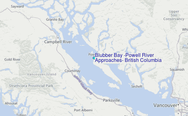