
| Distance / Altitude | Location | Report Date / Time | Live Weather | Wind | Gusts | Temp. | Visibility | Cloud |
|---|---|---|---|---|---|---|---|---|
| 222 km W / 217 m | Frobisher/Iqaluit Airport (N.w. Territories) | 2026-06-06 19:00 local (2026/06/06 23:00 GMT) | no report | calm (4 km/h at 150) | 2°C | 48 | few - - | |
| 224 km W / 34 m | Iqaluit (Canada) | 2026-06-06 20:00 local (2026/06/07 00:00 GMT) | no report | calm (4 km/h at 150) | 2°C | - | - | |
| 294 km ENE / 15 m | ASCATB301E64N (Marine) | 2026-06-06 18:13 local (2026/06/06 22:13 GMT) | moderate winds from the NW (22 km/h at 320) | — | - km | |||
| 322 km ENE / 15 m | ASCATB302E64N (Marine) | 2026-06-06 18:13 local (2026/06/06 22:13 GMT) | moderate winds from the NNW (28 km/h at 329) | — | - km | |||
| 324 km NW / 23 m | Pangnirtung-NU (Canada) | 2026-06-06 20:00 local (2026/06/07 00:00 GMT) | - | calm (4 km/h at 130) | — | - | - no observation - | |
| 354 km ENE / 15 m | ASCATB303E64N (Marine) | 2026-06-06 18:13 local (2026/06/06 22:13 GMT) | fresh winds from the NNW (33 km/h at 333) | — | - km | |||
| 355 km NE / 15 m | ASCATB301E65N (Marine) | 2026-06-06 18:13 local (2026/06/06 22:13 GMT) | fresh winds from the NW (35 km/h at 325) | — | - km | |||
| 363 km E / 15 m | ASCATB303E63N (Marine) | 2026-06-06 18:13 local (2026/06/06 22:13 GMT) | fresh winds from the NNW (34 km/h at 336) | — | - km | |||
| 367 km NE / 15 m | ASCATB302E65N (Marine) | 2026-06-06 18:13 local (2026/06/06 22:13 GMT) | moderate winds from the NW (28 km/h at 321) | — | - km | |||
| 398 km E / 15 m | ASCATB304E63N (Marine) | 2026-06-06 18:13 local (2026/06/06 22:13 GMT) | fresh winds from the NNW (36 km/h at 339) | — | - km |
| Contours: | Roads & Rivers: | Select a
tide station / surf break / city |
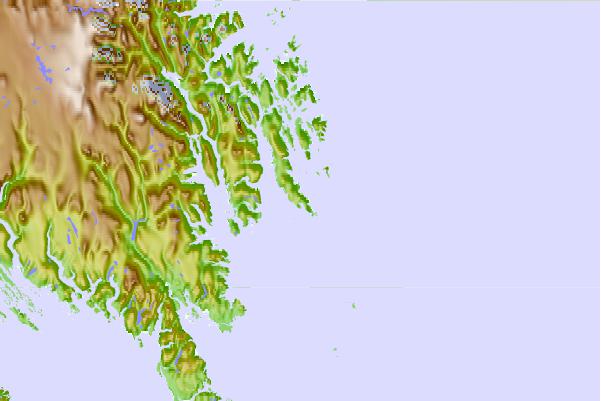
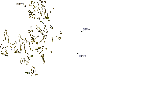
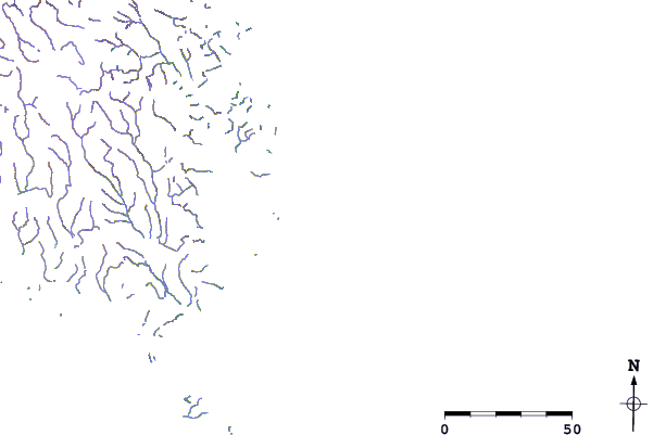
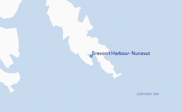
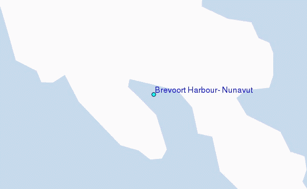
Use this relief map to navigate to tide stations, surf breaks and cities that are in the area of Brevoort Harbour, Nunavut.
Other Nearby Locations' tide tables and tide charts to Brevoort Harbour, Nunavut:
click location name for more details
 Surf breaks close to Brevoort Harbour, Nunavut:
|
||
|---|---|---|
| Closest surf break | Ingonish Beach | 1162 mi |
| Second closest surf break | Kennington Cove | 1216 mi |
| Third closest surf break | Michaud Point | 1234 mi |
| Fourth closest surf break | Garur | 1249 mi |
| Fifth closest surf break | Hafnir | 1252 mi |


 Nearest
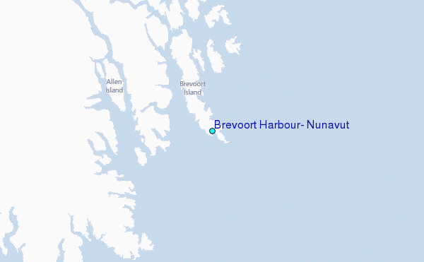