
| Distance / Altitude | Location | Report Date / Time | Live Weather | Wind | Gusts | Temp. | Visibility | Cloud |
|---|---|---|---|---|---|---|---|---|
| 4 km NNE / 6 m | Qikiqtarjuaq Airport (Canada) | 2026-02-09 19:00 local (2026/02/10 00:00 GMT) | - | calm (4 km/h at 20) | — | - | - - - | |
| 169 km S / 322 m | Pangnirtung Airport (N.w. Territories) | 2026-02-09 18:00 local (2026/02/09 23:00 GMT) | Light snow | wind obs. (7 kph from 90 degs) was rejected (- km/h at -) | -12°C | 8 | overcast | |
| 169 km S / 23 m | Pangnirtung-NU (Canada) | 2026-02-09 19:00 local (2026/02/10 00:00 GMT) | - | calm (4 km/h at 130) | — | - | - no observation - | |
| 236 km E / 15 m | ASCATB301E67N (Marine) | 2026-02-09 17:28 local (2026/02/09 22:28 GMT) | fresh winds from the NW (32 km/h at 313) | — | - km | |||
| 243 km ENE / 15 m | ASCATB301E68N (Marine) | 2026-02-09 17:28 local (2026/02/09 22:28 GMT) | fresh winds from the NW (36 km/h at 316) | — | - km | |||
| 263 km E / 15 m | ASCATB302E67N (Marine) | 2026-02-09 17:28 local (2026/02/09 22:28 GMT) | fresh winds from the NW (29 km/h at 317) | — | - km | |||
| 273 km ENE / 15 m | ASCATB302E68N (Marine) | 2026-02-09 17:28 local (2026/02/09 22:28 GMT) | moderate winds from the NW (23 km/h at 316) | — | - km | |||
| 281 km E / 15 m | ASCATB303E67N (Marine) | 2026-02-09 17:28 local (2026/02/09 22:28 GMT) | moderate winds from the NW (28 km/h at 319) | — | - km | |||
| 301 km ENE / 15 m | ASCATB303E68N (Marine) | 2026-02-09 17:28 local (2026/02/09 22:28 GMT) | moderate winds from the NW (25 km/h at 315) | — | - km | |||
| 305 km ESE / 15 m | ASCATB302E66N (Marine) | 2026-02-09 17:27 local (2026/02/09 22:27 GMT) | strong winds from the NW (44 km/h at 324) | — | - km |
| Contours: | Roads & Rivers: | Select a
tide station / surf break / city |
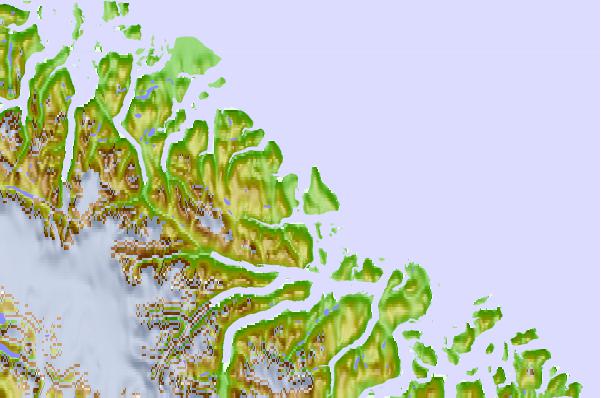
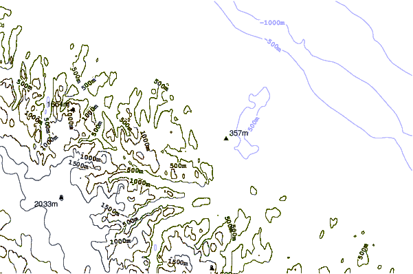
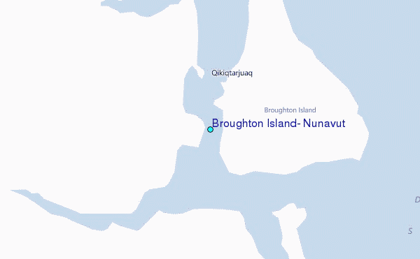
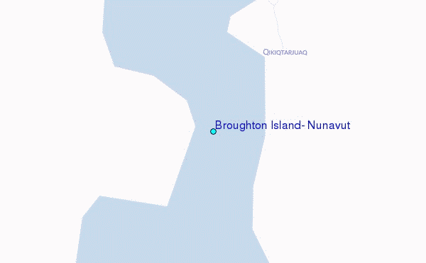
Use this relief map to navigate to tide stations, surf breaks and cities that are in the area of Broughton Island, Nunavut.
Other Nearby Locations' tide tables and tide charts to Broughton Island, Nunavut:
click location name for more details
 Surf breaks close to Broughton Island, Nunavut:
|
||
|---|---|---|
| Closest surf break | Garur | 1173 mi |
| Second closest surf break | Hafnir | 1178 mi |
| Third closest surf break | Sandvik | 1185 mi |
| Fourth closest surf break | Grotta | 1188 mi |
| Fifth closest surf break | Grindavik Antenas | 1188 mi |


 Nearest
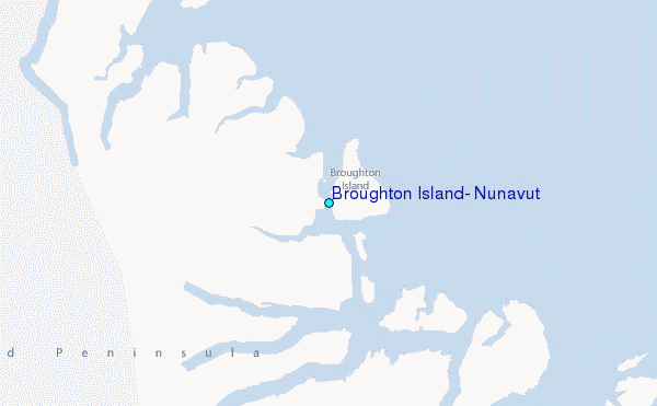