
| Distance / Altitude | Location | Report Date / Time | Live Weather | Wind | Gusts | Temp. | Visibility | Cloud |
|---|---|---|---|---|---|---|---|---|
| 25 km SSE / 476 m | Campbell River Airport (British Columbia) | 2025-12-25 12:00 local (2025/12/25 20:00 GMT) | Dry and partly cloudy | light winds from the NNW (15 km/h at 330) | 3°C | 48 | few scattered | |
| 33 km ESE / 104 m | Squirrel Cove (Canada) | 2025-12-25 13:17 local (2025/12/25 21:17 GMT) | - | calm (0 km/h at 232) | 2°C | - | - - 0 | |
| 34 km ESE / 24 m | Seaford wx (Canada) | 2025-12-25 13:04 local (2025/12/25 21:04 GMT) | dry | calm (0 km/h at 0) | 3°C | - | - - 0 | |
| 40 km SE / 3 m | Sentry Shoal Buoy (Marine) | 2025-12-25 13:00 local (2025/12/25 21:00 GMT) | light winds from the NNW (18 km/h at 330) | 5°C | - | |||
| 40 km SE / - m | SHIP362 (ocean) | 2025-12-25 13:00 local (2025/12/25 21:00 GMT) | - | light winds from the NNW (18 km/h at 330) | 5°C | - | no observation | |
| 40 km SE / - m | SHIP315 (ocean) | 2025-12-25 11:00 local (2025/12/25 19:00 GMT) | - | moderate winds from the NW (25 km/h at 310) | 4°C | - | no observation | |
| 40 km SE / - m | SHIP1121 (ocean) | 2025-12-25 13:00 local (2025/12/25 21:00 GMT) | - | light winds from the NNW (18 km/h at 330) | 5°C | - | no observation | |
| 54 km WNW / 10 m | Fanny Island (Canada) | 2025-12-25 13:00 local (2025/12/25 21:00 GMT) | no report | calm (0 km/h at 0) | 5°C | - | - no observation - | |
| 60 km SE / 216 m | Comox Millitary Base Airport (British Columbia) | 2025-12-25 12:00 local (2025/12/25 20:00 GMT) | - | light winds from the NNW (19 km/h at 340) | 4°C | 32 | few few scattered | |
| 60 km SE / 26 m | Cfb - Comox- BC (Canada) | 2025-12-25 13:00 local (2025/12/25 21:00 GMT) | - | - (- km/h at -) | — | - | - |
| Contours: | Roads & Rivers: | Select a
tide station / surf break / city |
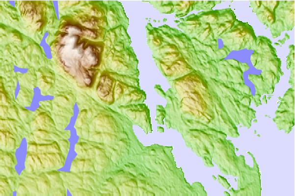
Use this relief map to navigate to tide stations, surf breaks and cities that are in the area of Brown Bay, British Columbia.
Other Nearby Locations' tide tables and tide charts to Brown Bay, British Columbia:
click location name for more details
 Surf breaks close to Brown Bay, British Columbia:
|
||
|---|---|---|
| Closest surf break | Nootka Island (Calvin Bay) | 75 mi |
| Second closest surf break | South Chesterman Beach | 76 mi |
| Third closest surf break | Rosie's Bay | 76 mi |
| Fourth closest surf break | Tofino (North Chestermans Beach) | 76 mi |
| Fifth closest surf break | Cox Bay | 77 mi |


 Nearest