
| Distance / Altitude | Location | Report Date / Time | Live Weather | Wind | Gusts | Temp. | Visibility | Cloud |
|---|---|---|---|---|---|---|---|---|
| 45 km SW / 15 m | SHIP7747 (Marine) | 2026-07-04 13:00 local (2026/07/04 22:00 GMT) | moderate winds from the NE (20.52 km/h at 40) | 7°C | - km | |||
| 49 km SW / 506 m | Adak Naval Air Station Airport (Alaska) | 2026-07-04 13:56 local (2026/07/04 22:56 GMT) | Light rain | fresh winds from the ENE (31 km/h at 60) | 8°C | 16 | overcast | |
| 49 km SW / 3 m | BUOY-ADKA2 (Marine) | 2026-07-04 14:48 local (2026/07/04 23:48 GMT) | light winds from the NE (18 km/h at 40) | — | - | |||
| 55 km NW / 15 m | ASCATC184E52N (Marine) | 2026-07-04 12:37 local (2026/07/04 21:37 GMT) | strong winds from the ENE (42 km/h at 78) | — | - km | |||
| 72 km NW / 15 m | ASCATC184E53N (Marine) | 2026-07-04 12:37 local (2026/07/04 21:37 GMT) | strong winds from the E (44 km/h at 81) | — | - km | |||
| 45 km SW / 15 m | SHIP8301 (Marine) | 2026-07-04 13:00 local (2026/07/04 22:00 GMT) | moderate winds from the NE (20.52 km/h at 40) | 7°C | - km | |||
| 45 km SW / 15 m | SHIP2279 (Marine) | 2026-07-04 14:00 local (2026/07/04 23:00 GMT) | moderate winds from the ENE (20.52 km/h at 60) | 7°C | - km | |||
| 49 km SW / 506 m | Adak Naval Air Station Airport (Alaska) | 2026-07-04 13:56 local (2026/07/04 22:56 GMT) | Light rain | fresh winds from the ENE (31 km/h at 60) | 8°C | 16 | overcast | |
| 49 km SW / 3 m | BUOY-ADKA2 (Marine) | 2026-07-04 14:48 local (2026/07/04 23:48 GMT) | light winds from the NE (18 km/h at 40) | — | - | |||
| 55 km NW / 15 m | ASCATC184E52N (Marine) | 2026-07-04 12:37 local (2026/07/04 21:37 GMT) | strong winds from the ENE (42 km/h at 78) | — | - km |
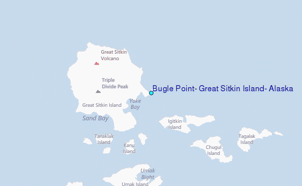
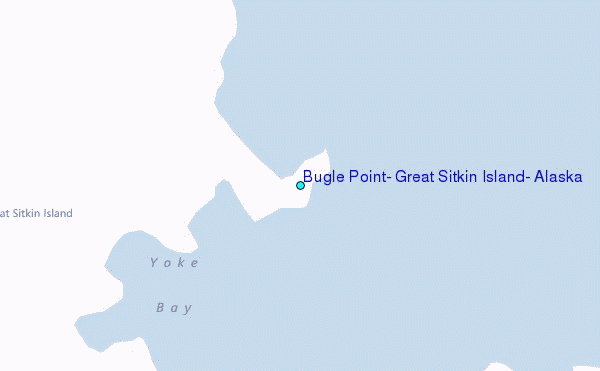
Choose Bugle Point, Great Sitkin Island, Alaska Location Map Zoom:
| Contours: | Roads & Rivers: | Select a
tide station / surf break / city |
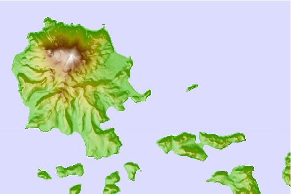
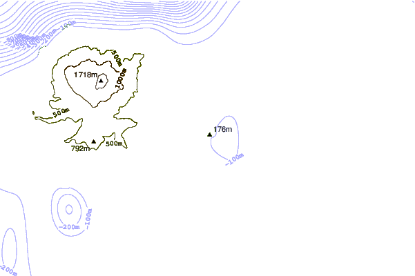

Use this relief map to navigate to tide stations, surf breaks and cities that are in the area of Bugle Point, Great Sitkin Island, Alaska.
Other Nearby Locations' tide tables and tide charts to Bugle Point, Great Sitkin Island, Alaska:
click location name for more details
 Surf breaks close to Bugle Point, Great Sitkin Island, Alaska:
|
||
|---|---|---|
| Closest surf break | Fossil Beach Kodiak | 1008 mi |
| Second closest surf break | Monashka Bay | 1011 mi |
| Third closest surf break | Termination Point | 1012 mi |
| Fourth closest surf break | Mill Bay | 1014 mi |
| Fifth closest surf break | Khalaktyrsky Beach | 1055 mi |


 Nearest
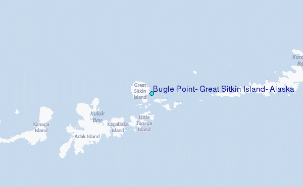