
| Distance / Altitude | Location | Report Date / Time | Live Weather | Wind | Gusts | Temp. | Visibility | Cloud |
|---|---|---|---|---|---|---|---|---|
| 76 km NW / 193 m | Sangster/Montego Bay Airport (Jamaica) | 2026-06-11 19:00 local (2026/06/12 00:00 GMT) | Dry and partly cloudy | light winds from the SSE (11 km/h at 150) | 30°C | 10.0 | few scattered | |
| 87 km E / 191 m | Kingston/Norman Manley International Airport (Jamaica) | 2026-06-11 20:00 local (2026/06/12 01:00 GMT) | - | moderate winds from the ESE (22 km/h at 120) | 28°C | - | - no observation - | |
| 288 km NNE / 355 m | lightning 15km SW of Contramaestre (Cuba) | 2026-06-11 19:18 local (2026/06/12 00:18 GMT) | Thunderstorm | (- km/h at -) | — | |||
| 296 km NE / 209 m | Santiago De Cuba Airport (Cuba) | 2026-06-11 18:50 local (2026/06/11 23:50 GMT) | Thunderstorm - in the vicinity | wind obs. (11 kph from 190 degs) was rejected (- km/h at -) | 29°C | 9.0 | scattered broken | |
| 308 km WNW / 24 m | Cayman Brac (Cayman Islands) | 2026-06-11 19:40 local (2026/06/12 00:40 GMT) | dry | calm (0 km/h at 75) | 28°C | - | - - 0 | |
| 312 km WNW / 362 m | Gerrard Smith Airport (Grand Cayman Is) | 2026-06-11 19:00 local (2026/06/12 00:00 GMT) | Dry and partly cloudy | light winds from the E (9 km/h at 80) | 29°C | 10.0 | scattered | |
| 322 km N / 7 m | lightning 11km NNE of Santa Cruz del Sur (Cuba) | 2026-06-11 18:33 local (2026/06/11 23:33 GMT) | Thunderstorm | (- km/h at -) | — | |||
| 335 km NE / 203 m | Guantanamo Bay Airport (Cuba) | 2026-06-11 18:51 local (2026/06/11 23:51 GMT) | Dry and partly cloudy | light winds from the ESE (13 km/h at 110) | 29°C | 16 | few scattered broken | |
| 347 km NNE / 208 m | Holguin Airport (Cuba) | 2026-06-11 18:50 local (2026/06/11 23:50 GMT) | Dry and partly cloudy | light winds from the E (9 km/h at 80) | 28°C | 9.0 | few broken | |
| 350 km N / 30 m | lightning 29km S of Vertientes (Cuba) | 2026-06-11 18:00 local (2026/06/11 23:00 GMT) | Thunderstorm | (- km/h at -) | — |
| Contours: | Roads & Rivers: | Select a
tide station / surf break / city |
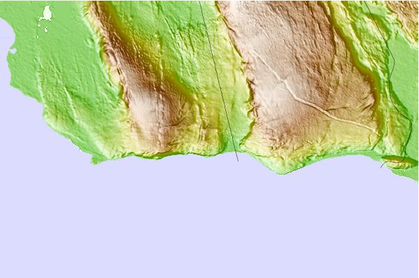
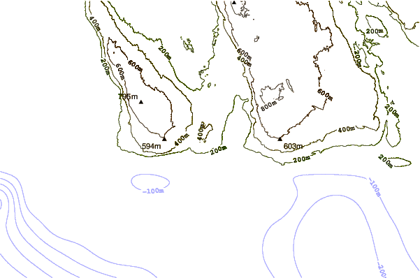
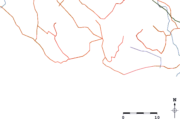
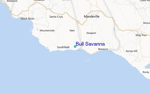
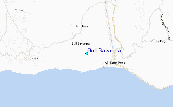
Use this relief map to navigate to tide stations, surf breaks and cities that are in the area of Bull Savanna.
Other Nearby Locations' tide tables and tide charts to Bull Savanna:
click location name for more details
 Surf breaks close to Bull Savanna:
|
||
|---|---|---|
| Closest surf break | Discovery Bay | 42 mi |
| Second closest surf break | Runaway Bay | 44 mi |
| Third closest surf break | Lighthouse 2 | 54 mi |
| Fourth closest surf break | Zoo (Bull Bay) | 58 mi |
| Fifth closest surf break | Copa (Bull Bay) | 60 mi |


 Nearest
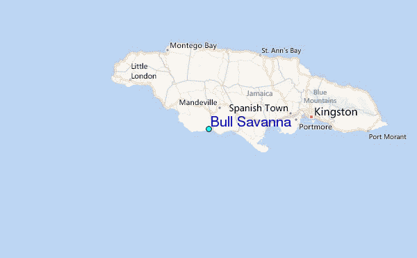