
| Distance / Altitude | Location | Report Date / Time | Live Weather | Wind | Gusts | Temp. | Visibility | Cloud |
|---|---|---|---|---|---|---|---|---|
| 47 km WSW / 15 m | SHIP6972 (Marine) | 2025-12-25 21:00 local (2025/12/26 00:00 GMT) | light winds from the NNE (14.4 km/h at 30) | — | - km | |||
| 208 km WSW / 14 m | Guardiamarina Airport (Chile) | 2025-12-25 21:00 local (2025/12/26 00:00 GMT) | no report | wind obs. (43 kph from 260 degs) was rejected (- km/h at -) | -1°C | - | - | |
| 208 km WSW / 14 m | Puerto Williams (Chile) | 2025-12-25 21:00 local (2025/12/26 00:00 GMT) | no report | light winds from the W (15 km/h at 280) | 9°C | 10.0 | - - - | |
| 249 km W / 102 m | Rio Grande Airport (Argentina) | 2025-12-25 21:00 local (2025/12/26 00:00 GMT) | Dry and partly cloudy | strong winds from the WNW (39 km/h at 290) | 12°C | 10.0 | scattered broken - | |
| 253 km WSW / 204 m | Ushuaia Naval Base Airport (Argentina) | 2025-12-25 21:00 local (2025/12/26 00:00 GMT) | Dry and partly cloudy | light winds from the W (6 km/h at 280) | 8°C | 10.0 | broken | |
| 47 km WSW / 3 m | SHIP2209 (Marine) | 2025-12-25 21:00 local (2025/12/26 00:00 GMT) | light winds from the NNE (14 km/h at 30) | 8°C | - | |||
| 209 km WSW / 14 m | Guardiamarina Airport (Chile) | 2025-12-25 21:00 local (2025/12/26 00:00 GMT) | no report | wind obs. (43 kph from 260 degs) was rejected (- km/h at -) | -1°C | - | - | |
| 209 km WSW / 14 m | Puerto Williams (Chile) | 2025-12-25 21:00 local (2025/12/26 00:00 GMT) | no report | light winds from the W (15 km/h at 280) | 9°C | 10.0 | - - - | |
| 249 km W / 102 m | Rio Grande Airport (Argentina) | 2025-12-25 21:00 local (2025/12/26 00:00 GMT) | Dry and partly cloudy | strong winds from the WNW (39 km/h at 290) | 12°C | 10.0 | scattered broken - | |
| 254 km WSW / 204 m | Ushuaia Naval Base Airport (Argentina) | 2025-12-25 21:00 local (2025/12/26 00:00 GMT) | Dry and partly cloudy | light winds from the W (6 km/h at 280) | 8°C | 10.0 | broken |
| Contours: | Roads & Rivers: | Select a
tide station / surf break / city |
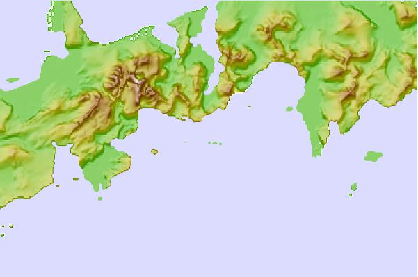
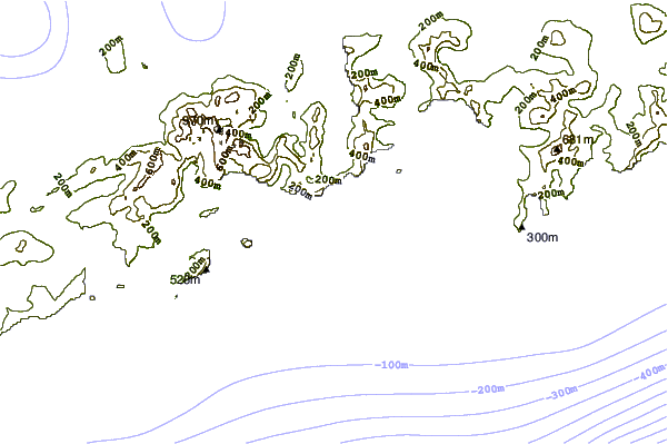
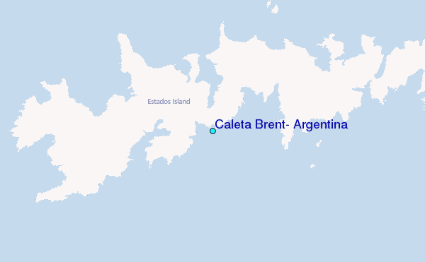
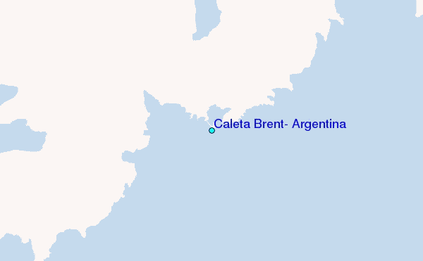
Use this relief map to navigate to tide stations, surf breaks and cities that are in the area of Caleta Brent, Argentina.
Other Nearby Locations' tide tables and tide charts to Caleta Brent, Argentina:
click location name for more details
 Surf breaks close to Caleta Brent, Argentina:
|
||
|---|---|---|
| Closest surf break | Río Grande | 153 mi |
| Second closest surf break | Bertha's Beach | 319 mi |
| Third closest surf break | Elephant Beach | 331 mi |
| Fourth closest surf break | Concirdia Bay | 341 mi |
| Fifth closest surf break | Surf Bay | 348 mi |


 Nearest
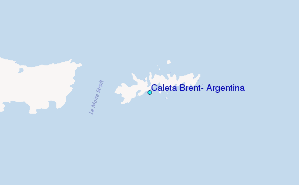