
| Distance / Altitude | Location | Report Date / Time | Live Weather | Wind | Gusts | Temp. | Visibility | Cloud |
|---|---|---|---|---|---|---|---|---|
| 17 km SE / 210 m | Hilton Head Airport (North Carolina) | 2025-12-07 21:35 local (2025/12/08 02:35 GMT) | Dry and cloudy | light winds from the NNE (13 km/h at 30) | 10°C | 16 | broken overcast | |
| 20 km NE / 219 m | Beaufort Marine Corps Air Station Airport (South Carolina) | 2025-12-07 20:56 local (2025/12/08 01:56 GMT) | Light rain | light winds from the NNE (17 km/h at 20) | 9°C | 16 | overcast | |
| 31 km S / 3 m | BUOY-FPKG1 (Marine) | 2025-12-07 22:00 local (2025/12/08 03:00 GMT) | light winds from the NNE (15 km/h at 30) | 11°C | - | |||
| 40 km SW / 218 m | Savannah Airport (Georgia) | 2025-12-07 20:55 local (2025/12/08 01:55 GMT) | Dry and cloudy | light winds from the N (9 km/h at 10) | 9°C | 16 | overcast | |
| 41 km E / 3 m | BUOY-41033 (Marine) | 2025-12-07 22:08 local (2025/12/08 03:08 GMT) | moderate winds from the NNE (22 km/h at 20) | 11°C | - | |||
| 41 km E / 3 m | BUOY-41067 (Marine) | 2025-12-07 21:50 local (2025/12/08 02:50 GMT) | - (- km/h at -) | — | - | |||
| 44 km SSW / 217 m | Savannah/Hunter Army Airfield Airport (Georgia) | 2025-12-07 21:25 local (2025/12/08 02:25 GMT) | Dry and cloudy | light winds from the NNE.(Wind varies from 005 to 024 degs) (11 km/h at 20) | 11°C | 16 | broken overcast | |
| 46 km NE / 3 m | BUOY-ACXS1 (Marine) | 2025-12-07 21:45 local (2025/12/08 02:45 GMT) | calm (4 km/h at 360) | 8°C | - | |||
| 69 km NNE / 31 m | Lowcountry Regional Airport - Walterboro (South Carolina) (South Carolina) | 2025-12-07 21:35 local (2025/12/08 02:35 GMT) | Drizzle | wind obs. (7 kph from 40 degs) was rejected (- km/h at -) | 7°C | 3 | overcast | |
| 80 km W / 217 m | Sylvania Airport (Georgia) | 2025-12-07 21:35 local (2025/12/08 02:35 GMT) | - | calm (0 km/h at 0) | — | 0.0 | - - - |
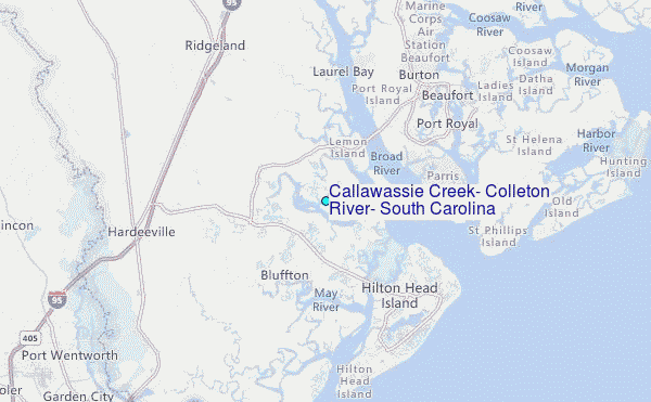
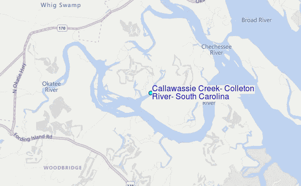
Choose Callawassie Creek, Colleton River, South Carolina Location Map Zoom:
| Contours: | Roads & Rivers: | Select a
tide station / surf break / city |
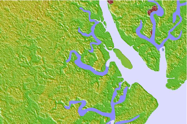
Use this relief map to navigate to tide stations, surf breaks and cities that are in the area of Callawassie Creek, Colleton River, South Carolina.
Other Nearby Locations' tide tables and tide charts to Callawassie Creek, Colleton River, South Carolina:
click location name for more details
 Surf breaks close to Callawassie Creek, Colleton River, South Carolina:
|
||
|---|---|---|
| Closest surf break | North Jetty | 20 mi |
| Second closest surf break | Sugar Shack | 21 mi |
| Third closest surf break | 2nd Street | 22 mi |
| Fourth closest surf break | 17th Street Boardwalk | 22 mi |
| Fifth closest surf break | Tybee Pier | 22 mi |


 Nearest
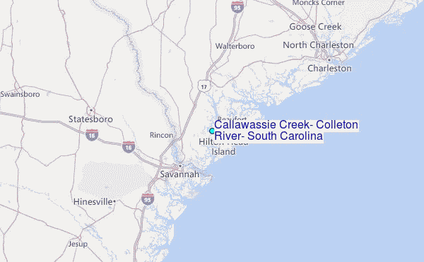