
| Distance / Altitude | Location | Report Date / Time | Live Weather | Wind | Gusts | Temp. | Visibility | Cloud |
|---|---|---|---|---|---|---|---|---|
| 8 km WSW / 123 m | Port Mellon- BC (Canada) | 2025-12-23 16:00 local (2025/12/24 00:00 GMT) | - | calm (4 km/h at 290) | — | - | - | |
| 9 km SE / 5 m | Howe Sound - Pam Rocks- BC (Canada) | 2025-12-23 15:00 local (2025/12/23 23:00 GMT) | - | - (- km/h at -) | — | - | - | |
| 24 km SSE / 13 m | Point Atkinson- BC (Canada) | 2025-12-23 16:00 local (2025/12/24 00:00 GMT) | - | wind obs. (0 kph from 260 degs) was rejected (- km/h at -) | — | - | - - - | |
| 24 km NE / 0 m | Squamish (Canada) | 2025-12-23 16:44 local (2025/12/24 00:44 GMT) | - | calm (0 km/h at 25) | — | - | - - 0 | |
| 25 km SW / 86 m | Sechelt- BC (Canada) | 2025-12-23 16:00 local (2025/12/24 00:00 GMT) | - | calm (0 km/h at 340) | — | - | - | |
| 25 km SSE / 170 m | WestVancouverAut- BC (Canada) | 2025-12-23 16:00 local (2025/12/24 00:00 GMT) | - | calm (4 km/h at 30) | — | - | - no observation - | |
| 26 km S / 3 m | BUOY-46304 (Marine) | 2025-12-23 16:00 local (2025/12/24 00:00 GMT) | light winds from the NNE (18 km/h at 20) | 7°C | - | |||
| 26 km S / - m | SHIP961 (ocean) | 2025-12-23 15:00 local (2025/12/23 23:00 GMT) | - | moderate winds from the E (22 km/h at 80) | 8°C | - | no observation | |
| 26 km S / - m | SHIP231 (ocean) | 2025-12-23 15:00 local (2025/12/23 23:00 GMT) | - | moderate winds from the E (22 km/h at 80) | 8°C | - | no observation | |
| 26 km SE / 706 m | West Vancouver Airport (British Columbia) | 2025-12-23 15:00 local (2025/12/23 23:00 GMT) | - | light winds from the ENE (6 km/h at 70) | 6°C | 0.0 |
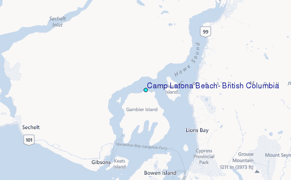
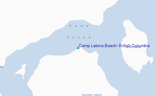
Choose Camp Latona Beach, British Columbia Location Map Zoom:
| Contours: | Roads & Rivers: | Select a
tide station / surf break / city |
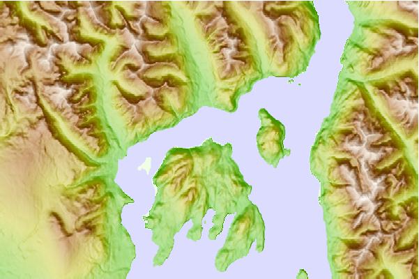
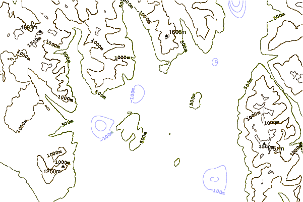
Use this relief map to navigate to tide stations, surf breaks and cities that are in the area of Camp Latona Beach, British Columbia.
Other Nearby Locations' tide tables and tide charts to Camp Latona Beach, British Columbia:
click location name for more details
 Surf breaks close to Camp Latona Beach, British Columbia:
|
||
|---|---|---|
| Closest surf break | Ambleside Park | 18 mi |
| Second closest surf break | China Beach | 83 mi |
| Third closest surf break | Jordan River | 83 mi |
| Fourth closest surf break | Sombrio Beach | 83 mi |
| Fifth closest surf break | Port Renfrew | 85 mi |


 Nearest
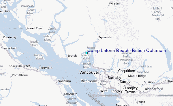