
| Distance / Altitude | Location | Report Date / Time | Live Weather | Wind | Gusts | Temp. | Visibility | Cloud |
|---|---|---|---|---|---|---|---|---|
| 26 km E / 42 m | Charlo Auto- NB (Canada) | 2025-12-26 06:00 local (2025/12/26 10:00 GMT) | - | light winds from the W (7 km/h at 280) | — | - | - | |
| 27 km E / 193 m | Charlo Airport (New Brunswick) | 2025-12-26 06:00 local (2025/12/26 10:00 GMT) | - | light winds from the W (19 km/h at 280) | -12°C | 0.0 | ||
| 81 km ESE / 59 m | Bathurst Airport (Canada) | 2025-12-26 05:00 local (2025/12/26 09:00 GMT) | - | wind obs. (11 kph from 260 degs) was rejected (- km/h at -) | — | 36 km | - clear - | |
| 81 km ESE / 217 m | Bathurst Airport (New Brunswick) | 2025-12-26 06:00 local (2025/12/26 10:00 GMT) | Dry and cloudy | light winds from the NW.(Wind varies from 270 to 330 degs) (19 km/h at 310) | -12°C | 14 | overcast | |
| 101 km E / 46 m | NewCarlisle1- Que (Canada) | 2025-12-26 06:00 local (2025/12/26 10:00 GMT) | - | wind obs. (7 kph from 290 degs) was rejected (- km/h at -) | — | - | - no observation - | |
| 102 km SE / 124 m | RedPines-NB (Canada) | 2025-12-26 06:00 local (2025/12/26 10:00 GMT) | - | calm (4 km/h at 260) | — | - | - no observation - | |
| 102 km E / 196 m | New Carlisle Airport (Quebec) | 2025-12-26 06:00 local (2025/12/26 10:00 GMT) | - | light winds from the WNW (11 km/h at 300) | -13°C | 0.0 | ||
| 119 km N / 197 m | Cap Chat Airport (Quebec) | 2025-12-26 06:00 local (2025/12/26 10:00 GMT) | - | fresh winds from the N (35 km/h at 360) | -11°C | 0.0 | ||
| 121 km N / 5 m | Cap -Chat- Que (Canada) | 2025-12-26 05:00 local (2025/12/26 09:00 GMT) | - | wind obs. (32 kph from 260 degs) was rejected (- km/h at -) | — | - | - | |
| 132 km W / 52 m | Mont-JoliA- Que (Canada) | 2025-12-26 06:00 local (2025/12/26 10:00 GMT) | - | fresh winds from the NNW (33 km/h at 340) | — | 28 km | - overcast - |
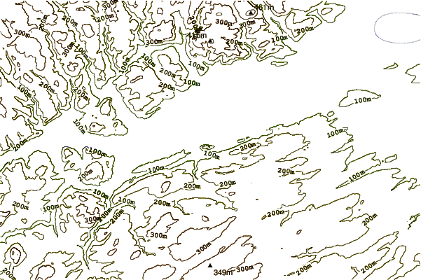
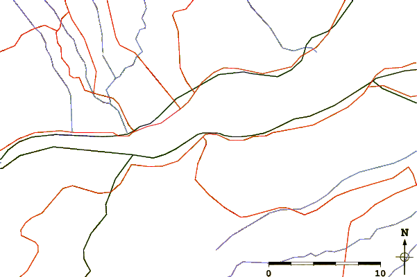
| Contours: | Roads & Rivers: | Select a
tide station / surf break / city |
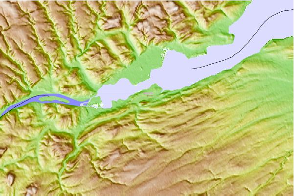
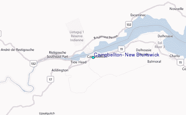
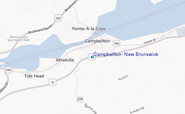
Use this relief map to navigate to tide stations, surf breaks and cities that are in the area of Campbellton, New Brunswick.
Other Nearby Locations' tide tables and tide charts to Campbellton, New Brunswick:
click location name for more details
 Surf breaks close to Campbellton, New Brunswick:
|
||
|---|---|---|
| Closest surf break | Backyards | 280 mi |
| Second closest surf break | Minutes | 280 mi |
| Third closest surf break | Moose | 280 mi |
| Fourth closest surf break | Osbourne | 280 mi |
| Fifth closest surf break | Cow Bay | 281 mi |


 Nearest
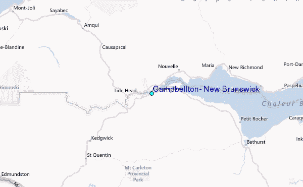