
| Distance / Altitude | Location | Report Date / Time | Live Weather | Wind | Gusts | Temp. | Visibility | Cloud |
|---|---|---|---|---|---|---|---|---|
| 47 km N / 4 m | Nelson Lagoon Airport (Alaska) | 2025-12-24 10:20 local (2025/12/24 19:20 GMT) | - | light winds from the SE (6 km/h at 140) | — | 0.0 | ||
| 48 km N / 3 m | BUOY-NLXA2 (Marine) | 2025-12-24 11:32 local (2025/12/24 20:32 GMT) | calm (4 km/h at 310) | -1°C | - | |||
| 56 km ESE / 216 m | Sand Point Airport (Alaska) | 2025-12-24 09:56 local (2025/12/24 18:56 GMT) | - | light winds from the N (19 km/h at 10) | 1°C | 16 | few few | |
| 82 km SSW / 47 m | King Cove Airport (Alabama) (Alaska) | 2025-12-24 09:56 local (2025/12/24 18:56 GMT) | - | calm (0 km/h at 0) | -3°C | 0.0 | ||
| 89 km SSW / 3 m | BUOY-KGCA2 (Marine) | 2025-12-24 11:00 local (2025/12/24 20:00 GMT) | - (0 km/h at -) | 0°C | - | |||
| 101 km SW / 161 m | Cold Bay Airport (Alaska) | 2025-12-24 09:53 local (2025/12/24 18:53 GMT) | Dry and cloudy | light winds from the NNE (6 km/h at 30) | 1°C | 16 | overcast | |
| 115 km NE / 3 m | BUOY-CPSA2 (Marine) | 2025-12-24 11:32 local (2025/12/24 20:32 GMT) | - (- km/h at -) | -2°C | - | |||
| 159 km SW / 6 m | False Pass Airport (Alaska) | 2025-12-24 09:56 local (2025/12/24 18:56 GMT) | Dry and cloudy | light winds from the WSW (7 km/h at 240) | 1°C | 16 | overcast | |
| 199 km ENE / 212 m | Chignik Bay Airport (Alaska) | 2025-12-24 09:56 local (2025/12/24 18:56 GMT) | Clear | wind obs. (17 kph from 230 degs) was rejected (- km/h at -) | 2°C | 16 | ||
| 267 km SE / 15 m | SHIP3899 (Marine) | 2025-12-24 10:00 local (2025/12/24 19:00 GMT) | light winds from the W (14.76 km/h at 280) | 6°C | 17.7 km |
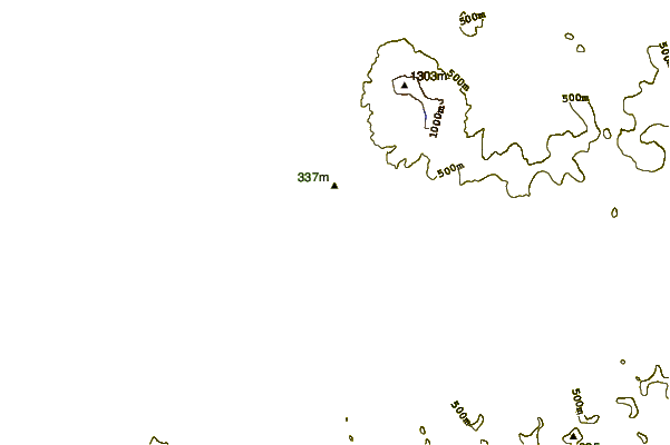
| Contours: | Roads & Rivers: | Select a
tide station / surf break / city |
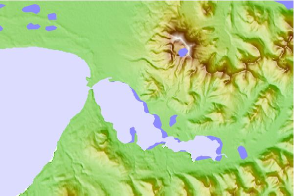
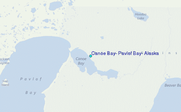
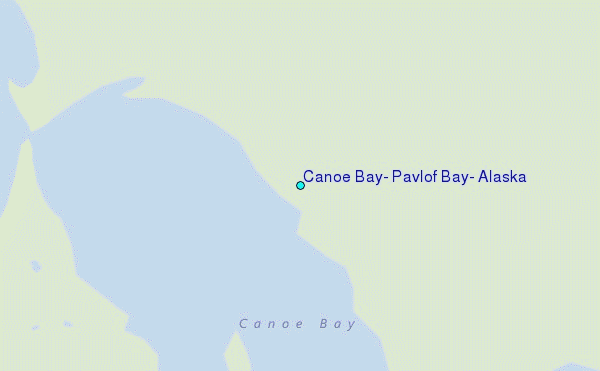
Use this relief map to navigate to tide stations, surf breaks and cities that are in the area of Canoe Bay, Pavlof Bay, Alaska.
Other Nearby Locations' tide tables and tide charts to Canoe Bay, Pavlof Bay, Alaska:
click location name for more details
 Surf breaks close to Canoe Bay, Pavlof Bay, Alaska:
|
||
|---|---|---|
| Closest surf break | Fossil Beach Kodiak | 363 mi |
| Second closest surf break | Monashka Bay | 369 mi |
| Third closest surf break | Termination Point | 370 mi |
| Fourth closest surf break | Mill Bay | 372 mi |
| Fifth closest surf break | Bird Point (Tidal Bore) | 505 mi |


 Nearest
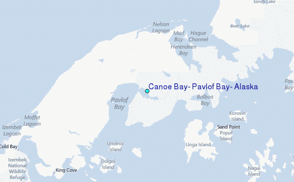