
| Distance / Altitude | Location | Report Date / Time | Live Weather | Wind | Gusts | Temp. | Visibility | Cloud |
|---|---|---|---|---|---|---|---|---|
| 117 km ESE / 65 m | Alert (Canada) | 2025-12-25 08:00 local (2025/12/25 13:00 GMT) | - | wind obs. (7 kph from 90 degs) was rejected (- km/h at -) | — | - | - - - | |
| 406 km SW / 72 m | Svartevaeg- NU (Canada) | 2025-12-25 09:00 local (2025/12/25 14:00 GMT) | - | wind obs. (18 kph from 330 degs) was rejected (- km/h at -) | — | - | - | |
| 441 km SSW / 198 m | Eureka Airport (N.w. Territories) | 2025-12-25 08:00 local (2025/12/25 13:00 GMT) | Light snow | moderate winds from the ESE (26 km/h at 120) | -24°C | 19 | overcast | |
| 443 km SSW / 0 m | Eureka Ua- NU (Canada) | 2025-12-25 09:00 local (2025/12/25 14:00 GMT) | - | - (- km/h at -) | — | - | - | |
| 456 km ENE / 4 m | Kap Morris Jesup (Greenland) | 2025-12-25 07:00 local (2025/12/25 12:00 GMT) | - | wind obs. (15 kph from 90 degs) was rejected (- km/h at -) | — | - | - | |
| 629 km S / 17 m | Mittarfik Qaanaaq (Greenland) | 2025-12-25 07:00 local (2025/12/25 12:00 GMT) | - | calm (2 km/h at 300) | — | 45 | - - - | |
| 728 km S / 15 m | Carey Island (Greenland) | 2025-12-25 07:00 local (2025/12/25 12:00 GMT) | - | wind obs. (19 kph from 280 degs) was rejected (- km/h at -) | — | - | - - - | |
| 737 km S / 218 m | Thule Air Base Airport (Greenland) | 2025-12-25 08:26 local (2025/12/25 13:26 GMT) | Dry and cloudy | light winds from the E (11 km/h at 100) | -16°C | 10.0 | few scattered overcast | |
| 768 km ENE / 36 m | Station Nord (Greenland) | 2025-12-25 07:00 local (2025/12/25 12:00 GMT) | - | wind obs. (6 kph from 90 degs) was rejected (- km/h at -) | — | - | - | |
| 791 km S / 44 m | Grise Fiord Climate- NU (Canada) | 2025-12-25 09:00 local (2025/12/25 14:00 GMT) | - | calm (4 km/h at 130) | — | - | - |
| Contours: | Roads & Rivers: | Select a
tide station / surf break / city |
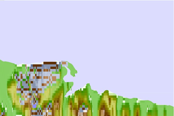
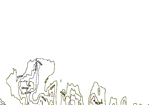
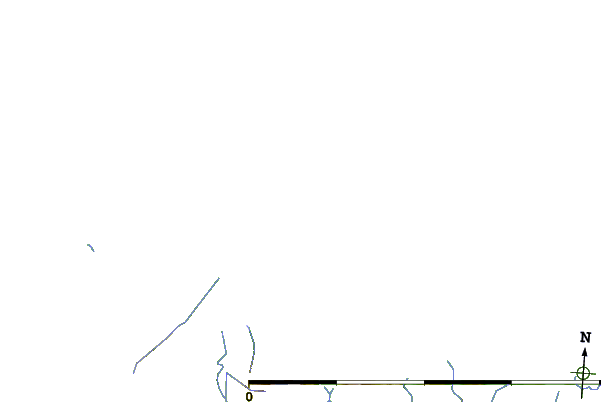
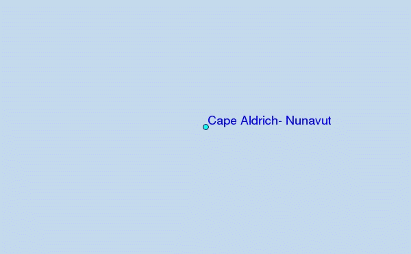
Use this relief map to navigate to tide stations, surf breaks and cities that are in the area of Cape Aldrich, Nunavut.
Other Nearby Locations' tide tables and tide charts to Cape Aldrich, Nunavut:
click location name for more details
 Surf breaks close to Cape Aldrich, Nunavut:
|
||
|---|---|---|
| Closest surf break | Eyvik | 1414 mi |
| Second closest surf break | Grotta | 1507 mi |
| Third closest surf break | Garur | 1507 mi |
| Fourth closest surf break | Hafnarfjordur | 1514 mi |
| Fifth closest surf break | Hafnir | 1517 mi |


 Nearest
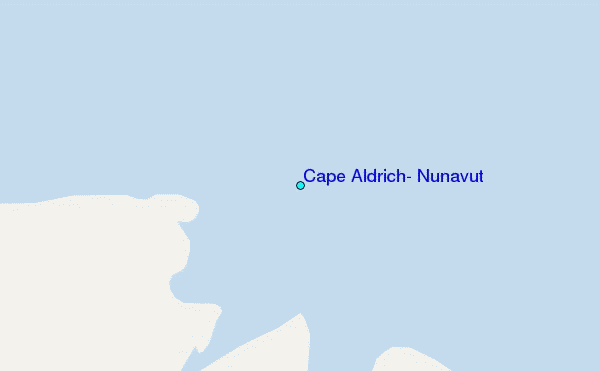