
| Distance / Altitude | Location | Report Date / Time | Live Weather | Wind | Gusts | Temp. | Visibility | Cloud |
|---|---|---|---|---|---|---|---|---|
| 161 km WNW / 707 m | Broughton Island Airport (N.w. Territories) | 2025-12-25 16:00 local (2025/12/25 20:00 GMT) | Clear | wind obs. (6 kph from 180 degs) was rejected (- km/h at -) | -25°C | 14 | ||
| 170 km WNW / 6 m | Qikiqtarjuaq Airport (Canada) | 2025-12-25 17:00 local (2025/12/25 21:00 GMT) | no report | calm (0 km/h at 0) | -25°C | 36 km | - clear - | |
| 213 km WSW / 23 m | Pangnirtung-NU (Canada) | 2025-12-25 17:00 local (2025/12/25 21:00 GMT) | - | calm (4 km/h at 130) | — | - | - no observation - | |
| 213 km WSW / 322 m | Pangnirtung Airport (N.w. Territories) | 2025-12-25 16:00 local (2025/12/25 20:00 GMT) | - | wind obs. (17 kph from 140 degs) was rejected (- km/h at -) | — | 13 | few broken - | |
| 326 km E / 8 m | Mittarfik Sisimiut (Holsteinsborg Lufthavn) (Greenland) | 2025-12-25 17:00 local (2025/12/25 21:00 GMT) | - | light winds from the W (7 km/h at 270) | — | 19 | - - - | |
| 390 km ESE / 32 m | Mittarfik Maniitsoq (Sukkertoppen Lufthavn) (Greenland) | 2025-12-25 17:00 local (2025/12/25 21:00 GMT) | - | moderate winds from the SE (22 km/h at 140) | — | 3800 | - | |
| 423 km NE / 41 m | Aasiaat (Egedesminde) (Greenland) | 2025-12-25 17:00 local (2025/12/25 21:00 GMT) | - | - (- km/h at -) | — | 40 | - | |
| 426 km ESE / 234 m | Sioralik (Greenland) | 2025-12-25 17:00 local (2025/12/25 21:00 GMT) | - | moderate winds from the SSE (22 km/h at 150) | — | - | - | |
| 455 km E / 216 m | Sondre Stromfjord Airport (Greenland) | 2025-12-25 15:50 local (2025/12/25 19:50 GMT) | - | wind obs. (17 kph from 50 degs) was rejected (- km/h at -) | — | 10.0 | no cloud - - | |
| 458 km ENE / 53 m | MittarfikKangerlussuaq(Sdr. Stroemfjord Lufthavn) (Greenland) | 2025-12-25 16:00 local (2025/12/25 20:00 GMT) | - | moderate winds from the NE (22 km/h at 50) | — | 50 km | - mostly cloudy - |
| Contours: | Roads & Rivers: | Select a
tide station / surf break / city |
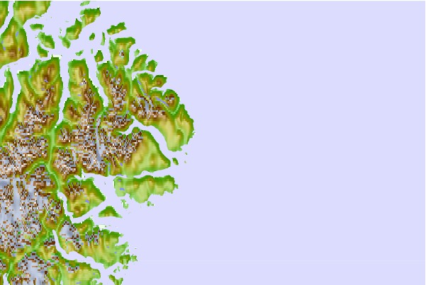
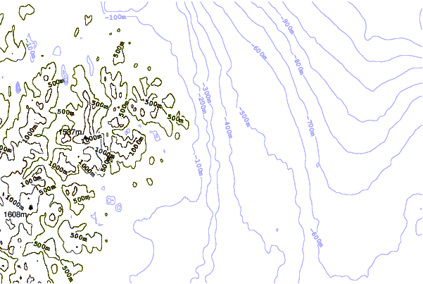
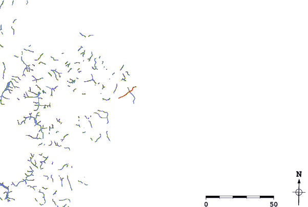
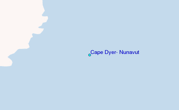
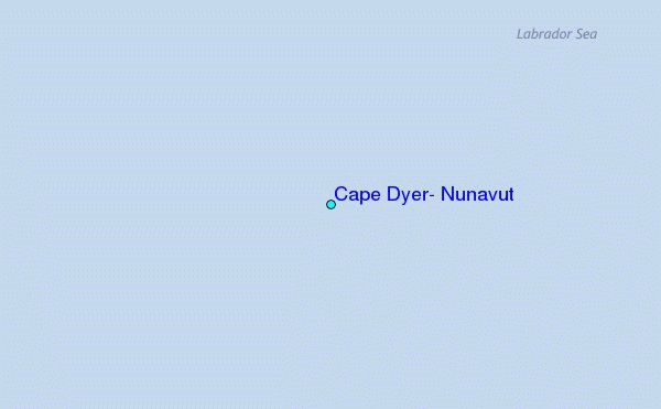
Use this relief map to navigate to tide stations, surf breaks and cities that are in the area of Cape Dyer, Nunavut.
Other Nearby Locations' tide tables and tide charts to Cape Dyer, Nunavut:
click location name for more details
 Surf breaks close to Cape Dyer, Nunavut:
|
||
|---|---|---|
| Closest surf break | Garur | 1103 mi |
| Second closest surf break | Hafnir | 1108 mi |
| Third closest surf break | Sandvik | 1113 mi |
| Fourth closest surf break | Grindavik Antenas | 1117 mi |
| Fifth closest surf break | Grindavik Lighthouse ( Hopsnesta) | 1119 mi |


 Nearest
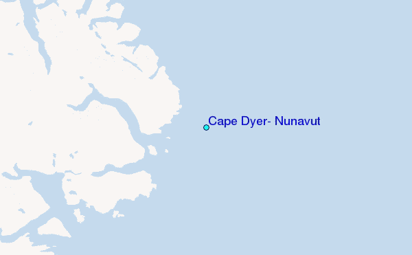