
| Distance / Altitude | Location | Report Date / Time | Live Weather | Wind | Gusts | Temp. | Visibility | Cloud |
|---|---|---|---|---|---|---|---|---|
| 190 km N / 210 m | Hall Beach Airport (N.w. Territories) | 2025-12-25 04:36 local (2025/12/25 09:36 GMT) | Dry and cloudy | fresh winds from the NNW (33 km/h at 340) | -26°C | 0.0 | overcast | |
| 191 km N / 5 m | Hall Beach (Canada) | 2025-12-25 05:00 local (2025/12/25 10:00 GMT) | - | moderate winds from the WNW (22 km/h at 300) | — | 2.8 km | - overcast - | |
| 333 km S / 215 m | Coral Harbour Airport (N.w. Territories) | 2025-12-25 04:00 local (2025/12/25 09:00 GMT) | Ice crystals | moderate winds from the NW (26 km/h at 320) | — | 24 | ||
| 333 km S / 22 m | Coral Harbour Airport (Canada) | 2025-12-25 05:00 local (2025/12/25 10:00 GMT) | - | - (- km/h at -) | — | - | - - - | |
| 383 km SW / 18 m | Wager Bay (Nunavut) | 2025-12-25 04:00 local (2025/12/25 09:00 GMT) | - | calm (4 km/h at 360) | -28°C | 0.0 | ||
| 386 km SE / 50 m | Cape Dorset Climate- NU (Canada) | 2025-12-25 04:00 local (2025/12/25 09:00 GMT) | - | moderate winds from the WSW (22 km/h at 250) | — | - | - - - | |
| 388 km SE / 217 m | Cape Dorset Airport (N.w. Territories) | 2025-12-25 04:00 local (2025/12/25 09:00 GMT) | - | light winds from the W (6 km/h at 270) | -21°C | 14 | ||
| 391 km W / 17 m | Kugaaruk Climate (Canada) | 2025-12-25 04:00 local (2025/12/25 09:00 GMT) | - | light winds from the WSW (7 km/h at 240) | -35°C | - | no observation | |
| 632 km W / 217 m | Gjoa Haven Airport (N.w. Territories) | 2025-12-25 04:43 local (2025/12/25 09:43 GMT) | - | light winds from the ESE (19 km/h at 110) | — | 0.0 | broken | |
| 633 km W / 47 m | Gjoa Haven (Canada) | 2025-12-25 04:00 local (2025/12/25 09:00 GMT) | - | wind obs. (11 kph from 350 degs) was rejected (- km/h at -) | — | - | - - - |
| Contours: | Roads & Rivers: | Select a
tide station / surf break / city |
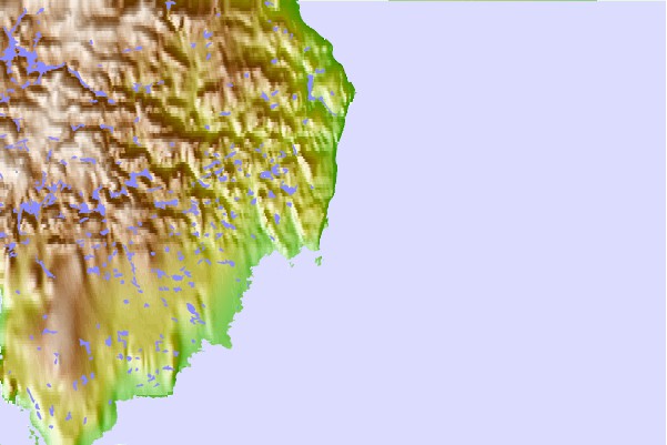
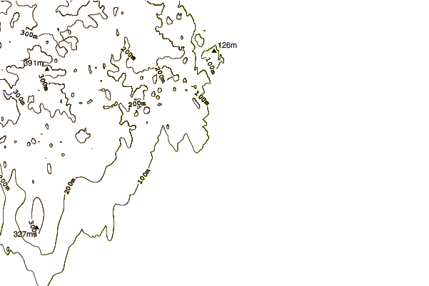
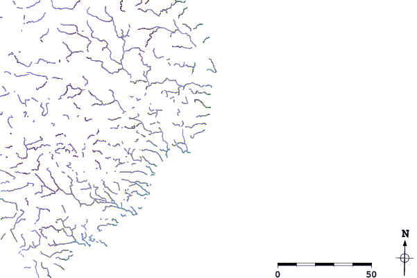
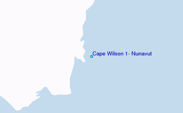
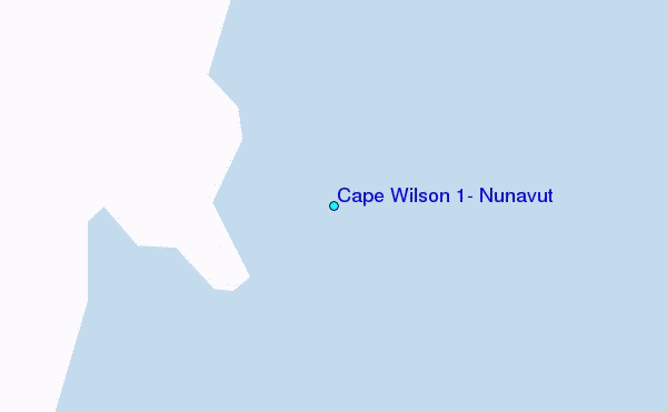
Use this relief map to navigate to tide stations, surf breaks and cities that are in the area of Cape Wilson 1, Nunavut.
Other Nearby Locations' tide tables and tide charts to Cape Wilson 1, Nunavut:
click location name for more details
 Surf breaks close to Cape Wilson 1, Nunavut:
|
||
|---|---|---|
| Closest surf break | Marathon | 1281 mi |
| Second closest surf break | Keweenaw Peninsula | 1377 mi |
| Third closest surf break | Alona Bay | 1381 mi |
| Fourth closest surf break | Apostle Islands | 1420 mi |
| Fifth closest surf break | Au Sable Point | 1420 mi |


 Nearest
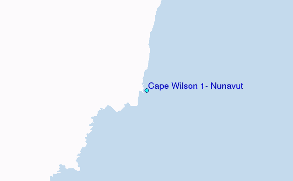