
| Distance / Altitude | Location | Report Date / Time | Live Weather | Wind | Gusts | Temp. | Visibility | Cloud |
|---|---|---|---|---|---|---|---|---|
| 14 km WNW / 6 m | FerollePoint(Aut)- Nfld (Canada) | 2025-12-22 13:30 local (2025/12/22 17:00 GMT) | - | wind obs. (50 kph from 200 degs) was rejected (- km/h at -) | — | - | - no observation - | |
| 14 km WNW / 216 m | Ferolle Point Airport (Newfoundland) | 2025-12-22 13:30 local (2025/12/22 17:00 GMT) | - | light winds from the NNW (19 km/h at 340) | -8°C | 0.0 | ||
| 61 km NW / 37 m | LourdesDEBlanc Sablon A- Que (Canada) | 2025-12-22 14:30 local (2025/12/22 18:00 GMT) | - | moderate winds from the N (28 km/h at 10) | — | 44 km | - overcast - | |
| 61 km NW / 216 m | Blanc Sablon Airport (Quebec) | 2025-12-22 13:30 local (2025/12/22 17:00 GMT) | Dry and cloudy | light winds from the N (19 km/h at 10) | -11°C | 24 | overcast | |
| 65 km ESE / 30 m | Englee (Aut)- Nfld (Canada) | 2025-12-22 12:30 local (2025/12/22 16:00 GMT) | - | wind obs. (47 kph from 280 degs) was rejected (- km/h at -) | — | - | - | |
| 82 km NE / 196 m | Saint Anthony Airport (Newfoundland) | 2025-12-22 13:30 local (2025/12/22 17:00 GMT) | Light snow | light winds from the NNW (15 km/h at 330) | -8°C | 14 | overcast | |
| 83 km NE / 33 m | St. Anthony- Nfld (Canada) | 2025-12-22 14:30 local (2025/12/22 18:00 GMT) | - | wind obs. (40 kph from 230 degs) was rejected (- km/h at -) | — | 36 km | - overcast - | |
| 145 km SE / 140 m | La Scie, Newfoundland (Canada) | 2025-12-22 12:30 local (2025/12/22 16:00 GMT) | - | wind obs. (14 kph from 230 degs) was rejected (- km/h at -) | — | - | - no observation - | |
| 163 km S / 216 m | Rocky Harbour Airport (Newfoundland) | 2025-12-22 13:30 local (2025/12/22 17:00 GMT) | - | light winds from the N (15 km/h at 350) | -7°C | 0.0 | ||
| 163 km S / 216 m | Rocky Harbour Airport (Newfoundland) | 2025-12-22 12:30 local (2025/12/22 16:00 GMT) | - | light winds from the N (13 km/h at 350) | -7°C | 0.0 |
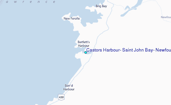
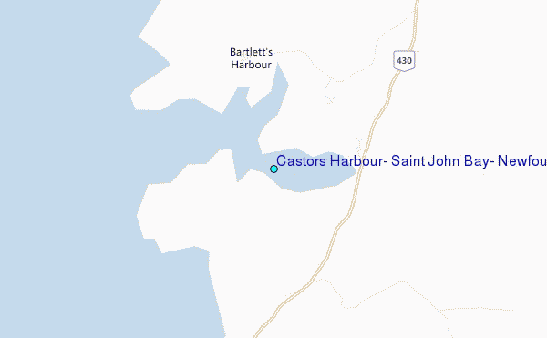
Choose Castors Harbour, Saint John Bay, Newfoundland Location Map Zoom:
| Contours: | Roads & Rivers: | Select a
tide station / surf break / city |
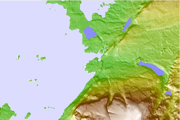
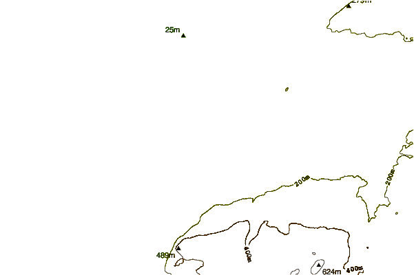
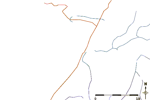
Use this relief map to navigate to tide stations, surf breaks and cities that are in the area of Castors Harbour, Saint John Bay, Newfoundland.
Other Nearby Locations' tide tables and tide charts to Castors Harbour, Saint John Bay, Newfoundland:
click location name for more details
 Surf breaks close to Castors Harbour, Saint John Bay, Newfoundland:
|
||
|---|---|---|
| Closest surf break | Ingonish Beach | 334 mi |
| Second closest surf break | Kennington Cove | 376 mi |
| Third closest surf break | Michaud Point | 407 mi |
| Fourth closest surf break | Martinique | 517 mi |
| Fifth closest surf break | Lawrencetown Left Point | 524 mi |


 Nearest
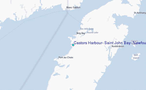