
| Distance / Altitude | Location | Report Date / Time | Live Weather | Wind | Gusts | Temp. | Visibility | Cloud |
|---|---|---|---|---|---|---|---|---|
| 7 km ENE / 217 m | Hyannis Airport (Massachusetts) | 2026-06-01 02:56 local (2026/06/01 06:56 GMT) | Dry and cloudy | light winds from the W (11 km/h at 260) | 12°C | 16 | overcast | |
| 14 km WSW / 219 m | Falmouth/Otis Air Base Airport (Massachusetts) | 2026-06-01 02:45 local (2026/06/01 06:45 GMT) | Dry and partly cloudy | light winds from the W (9 km/h at 270) | 12°C | 16 | broken | |
| 17 km SSE / 3 m | Nantucket Sound Buoy (Marine) | 2026-06-01 04:10 local (2026/06/01 08:10 GMT) | light winds from the NW (18 km/h at 310) | 14°C | - | |||
| 17 km SSE / - m | SHIP1748 (ocean) | 2026-06-01 04:00 local (2026/06/01 08:00 GMT) | - | moderate winds from the NW (22 km/h at 310) | 14°C | - | no observation | |
| 17 km SW / 3 m | BUOY-WAXM3 (Marine) | 2026-06-01 03:45 local (2026/06/01 07:45 GMT) | calm (4 km/h at 300) | 11°C | - | |||
| 17 km SSE / - m | SHIP1583 (ocean) | 2026-06-01 03:00 local (2026/06/01 07:00 GMT) | - | moderate winds from the W (25 km/h at 260) | 14°C | - | no observation | |
| 17 km SSE / - m | SHIP515 (ocean) | 2026-06-01 03:00 local (2026/06/01 07:00 GMT) | - | moderate winds from the W (25 km/h at 260) | 14°C | - | no observation | |
| 17 km SSE / - m | SHIP94 (ocean) | 2026-06-01 04:00 local (2026/06/01 08:00 GMT) | - | light winds from the W (18 km/h at 280) | 14°C | - | no observation | |
| 17 km SSE / - m | SHIP1444 (ocean) | 2026-06-01 04:00 local (2026/06/01 08:00 GMT) | - | moderate winds from the WNW (22 km/h at 300) | 14°C | - | no observation | |
| 17 km SSE / - m | SHIP804 (ocean) | 2026-06-01 03:00 local (2026/06/01 07:00 GMT) | - | moderate winds from the W (25 km/h at 260) | 14°C | - | no observation |
| Contours: | Roads & Rivers: | Select a
tide station / surf break / city |
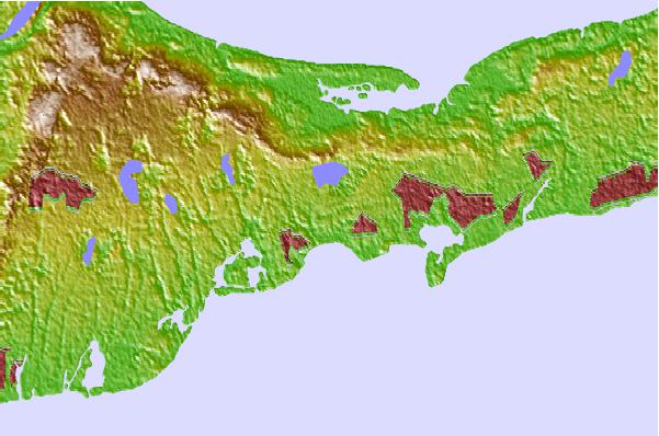
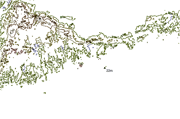
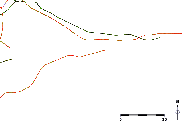
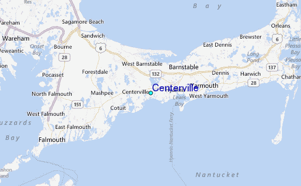
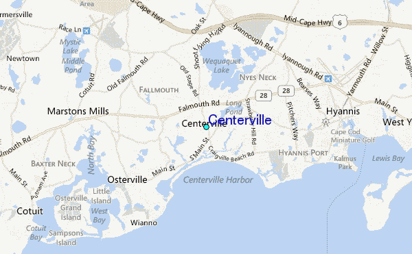
Use this relief map to navigate to tide stations, surf breaks and cities that are in the area of Centerville.
Other Nearby Locations' tide tables and tide charts to Centerville:
click location name for more details
 Surf breaks close to Centerville:
|
||
|---|---|---|
| Closest surf break | Nauset Light Beach | 24 mi |
| Second closest surf break | Coastguard Beach | 24 mi |
| Third closest surf break | Nauset Beach | 24 mi |
| Fourth closest surf break | Marconis Beach | 26 mi |
| Fifth closest surf break | Lecount Hollow | 27 mi |


 Nearest
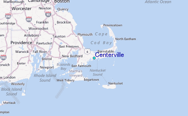