
| Distance / Altitude | Location | Report Date / Time | Live Weather | Wind | Gusts | Temp. | Visibility | Cloud |
|---|---|---|---|---|---|---|---|---|
| 7 km ENE / 217 m | Hyannis Airport (Massachusetts) | 2026-07-27 18:56 local (2026/07/27 22:56 GMT) | Clear | light winds from the SSW (11 km/h at 200) | 22°C | 16 | ||
| 14 km WSW / 219 m | Falmouth/Otis Air Base Airport (Massachusetts) | 2026-07-27 18:56 local (2026/07/27 22:56 GMT) | Clear | light winds from the WSW (13 km/h at 250) | 23°C | 16 | ||
| 17 km SSE / 3 m | Nantucket Sound Buoy (Marine) | 2026-07-27 20:20 local (2026/07/28 00:20 GMT) | light winds from the SW (18 km/h at 220) | 21°C | - | |||
| 17 km SW / 3 m | BUOY-WAXM3 (Marine) | 2026-07-27 20:00 local (2026/07/28 00:00 GMT) | - (0 km/h at -) | 21°C | - | |||
| 21 km N / 3 m | Cape Cod Bay- MA (Marine) | 2026-07-27 19:30 local (2026/07/27 23:30 GMT) | - (- km/h at -) | 22°C | - | |||
| 29 km E / 218 m | Chatham Airport (Massachusetts) | 2026-07-27 18:52 local (2026/07/27 22:52 GMT) | Clear | light winds from the SSW (11 km/h at 210) | 21°C | 16 | ||
| 30 km SW / 3 m | BUOY-BZBM3 (Marine) | 2026-07-27 20:00 local (2026/07/28 00:00 GMT) | - (- km/h at -) | 21°C | - | |||
| 36 km SSW / 217 m | Marthas Vineyard Airport (Massachusetts) | 2026-07-27 18:53 local (2026/07/27 22:53 GMT) | Clear | light winds from the SSW (9 km/h at 210) | 21°C | 16 | ||
| 44 km WNW / 209 m | Plymouth Airport (Massachusetts) | 2026-07-27 18:52 local (2026/07/27 22:52 GMT) | Clear | light winds from the SSW (11 km/h at 200) | 24°C | 16 | ||
| 45 km SSE / 3 m | BUOY-NTKM3 (Marine) | 2026-07-27 20:00 local (2026/07/28 00:00 GMT) | light winds from the SW (8 km/h at 230) | 20°C | - |
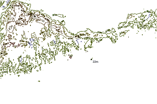
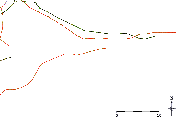
| Contours: | Roads & Rivers: | Select a
tide station / surf break / city |
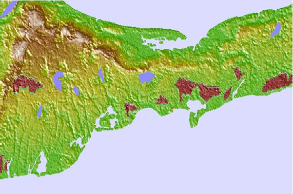
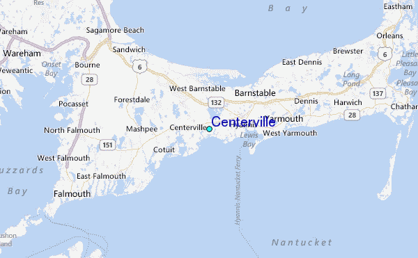
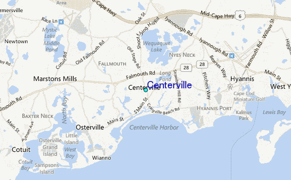
Use this relief map to navigate to tide stations, surf breaks and cities that are in the area of Centerville.
Other Nearby Locations' tide tables and tide charts to Centerville:
click location name for more details
 Surf breaks close to Centerville:
|
||
|---|---|---|
| Closest surf break | Nauset Light Beach | 24 mi |
| Second closest surf break | Coastguard Beach | 24 mi |
| Third closest surf break | Nauset Beach | 24 mi |
| Fourth closest surf break | Marconis Beach | 26 mi |
| Fifth closest surf break | Lecount Hollow | 27 mi |


 Nearest
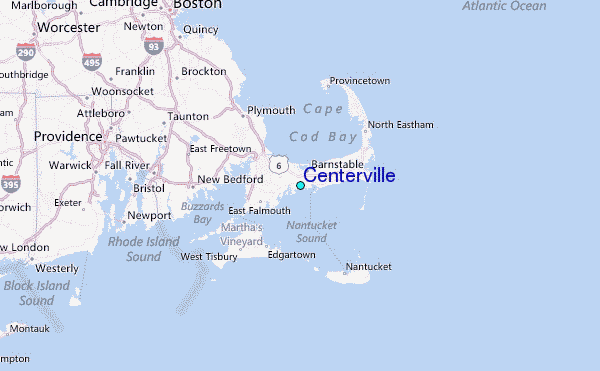