
| Distance / Altitude | Location | Report Date / Time | Live Weather | Wind | Gusts | Temp. | Visibility | Cloud |
|---|---|---|---|---|---|---|---|---|
| 76 km SW / 217 m | Rankin Inlet Airport (N.w. Territories) | 2026-04-11 18:00 local (2026/04/11 22:00 GMT) | Ice crystals | moderate winds from the W (22 km/h at 280) | -21°C | 24 | few few broken | |
| 76 km SW / 32 m | Rankin Inlet Airport (Canada) | 2026-04-11 19:00 local (2026/04/11 23:00 GMT) | - | - (- km/h at -) | — | - | - | |
| 278 km SSW / 215 m | Arviat Airport (N.w. Territories) | 2026-04-11 18:00 local (2026/04/11 22:00 GMT) | Clear | light winds from the W (19 km/h at 270) | -18°C | 14 | ||
| 279 km SSW / 10 m | Arviat A- NU (Canada) | 2026-04-11 17:00 local (2026/04/11 21:00 GMT) | - | light winds from the WNW (18 km/h at 290) | — | - | - - - | |
| 299 km W / 8 m | Baker Lake Ua- NU (Canada) | 2026-04-11 19:00 local (2026/04/11 23:00 GMT) | - | - (- km/h at -) | — | - | - | |
| 300 km W / 214 m | Baker Lake Airport (N.w. Territories) | 2026-04-11 18:00 local (2026/04/11 22:00 GMT) | Ice crystals | moderate winds from the WNW (22 km/h at 300) | -20°C | 32 | few scattered broken | |
| 323 km N / 18 m | Wager Bay (Nunavut) | 2026-04-11 18:00 local (2026/04/11 22:00 GMT) | - | light winds from the WNW (17 km/h at 300) | -22°C | 0.0 | ||
| 386 km ENE / 215 m | Coral Harbour Airport (N.w. Territories) | 2026-04-11 18:00 local (2026/04/11 22:00 GMT) | - | light winds from the W (9 km/h at 270) | -23°C | 24 | few | |
| 386 km ENE / 22 m | Coral Harbour Airport (Canada) | 2026-04-11 19:00 local (2026/04/11 23:00 GMT) | - | - (- km/h at -) | — | - | - - - | |
| 511 km S / 216 m | Churchill Airport (Manitoba) | 2026-04-11 18:00 local (2026/04/11 22:00 GMT) | - | light winds from the NE (11 km/h at 50) | -15°C | 24 | few |
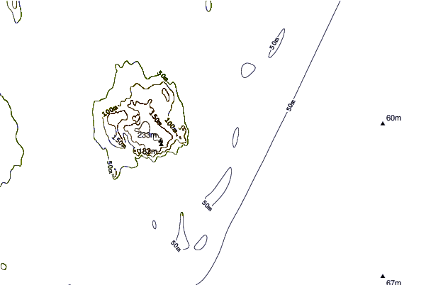
| Contours: | Roads & Rivers: | Select a
tide station / surf break / city |
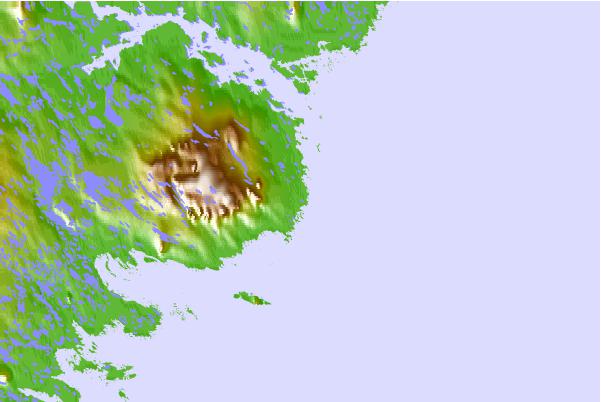
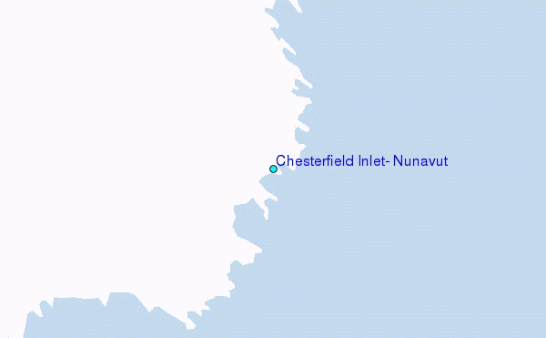
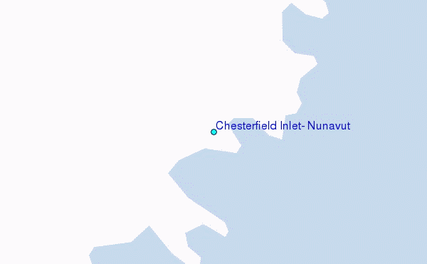
Use this relief map to navigate to tide stations, surf breaks and cities that are in the area of Chesterfield Inlet, Nunavut.
Other Nearby Locations' tide tables and tide charts to Chesterfield Inlet, Nunavut:
click location name for more details
 Surf breaks close to Chesterfield Inlet, Nunavut:
|
||
|---|---|---|
| Closest surf break | Marathon | 1001 mi |
| Second closest surf break | Keweenaw Peninsula | 1081 mi |
| Third closest surf break | Apostle Islands | 1103 mi |
| Fourth closest surf break | Stoney Point | 1111 mi |
| Fifth closest surf break | Ontonagon | 1117 mi |


 Nearest
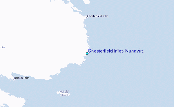