
| Distance / Altitude | Location | Report Date / Time | Live Weather | Wind | Gusts | Temp. | Visibility | Cloud |
|---|---|---|---|---|---|---|---|---|
| 135 km NW / 12 m | Over Yonder Cay (Bahamas) | 2025-12-25 03:03 local (2025/12/25 08:03 GMT) | dry | light winds from the NE (14 km/h at 51) | 23°C | - | - - 0 | |
| 183 km NE / 5 m | Cockburn Town/San Salvador Airport (Bahamas) | 2025-12-25 02:00 local (2025/12/25 07:00 GMT) | - | light winds from the NE (11 km/h at 50) | 22°C | 10.0 | ||
| 226 km N / 15 m | SHIP4117 (Marine) | 2025-12-25 02:00 local (2025/12/25 07:00 GMT) | - (- km/h at -) | — | - km | |||
| 251 km SW / 4 m | Canagua Airport (Cuba) | 2025-12-25 01:50 local (2025/12/25 06:50 GMT) | - | light winds from the ENE (15 km/h at 60) | 23°C | 9.0 | few | |
| 254 km WNW / 2 m | Andros Town (Bahamas) | 2025-12-25 02:00 local (2025/12/25 07:00 GMT) | - | light winds from the NE.(Wind varies from 320 to 110 degs) (7 km/h at 50) | — | |||
| 225 km N / 15 m | SHIP8661 (Marine) | 2025-12-25 02:00 local (2025/12/25 07:00 GMT) | - (- km/h at -) | — | - km | |||
| 233 km N / 3 m | SHIP8138 (Marine) | 2025-12-25 03:00 local (2025/12/25 08:00 GMT) | - (- km/h at -) | 23°C | - | |||
| 251 km SW / 4 m | Canagua Airport (Cuba) | 2025-12-25 01:50 local (2025/12/25 06:50 GMT) | - | light winds from the ENE (15 km/h at 60) | 23°C | 9.0 | few | |
| 254 km WNW / 2 m | Andros Town (Bahamas) | 2025-12-25 02:00 local (2025/12/25 07:00 GMT) | - | light winds from the NE.(Wind varies from 320 to 110 degs) (7 km/h at 50) | — | |||
| 255 km N / 3 m | SHIP8137 (Marine) | 2025-12-25 03:00 local (2025/12/25 08:00 GMT) | - (- km/h at -) | 23°C | - |
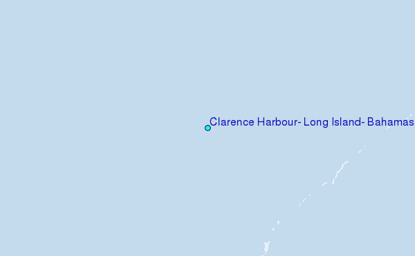
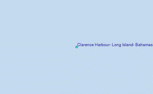
Choose Clarence Harbour, Long Island, Bahamas Location Map Zoom:
| Contours: | Roads & Rivers: | Select a
tide station / surf break / city |
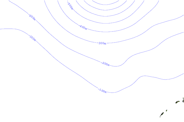
Use this relief map to navigate to tide stations, surf breaks and cities that are in the area of Clarence Harbour, Long Island, Bahamas.
Other Nearby Locations' tide tables and tide charts to Clarence Harbour, Long Island, Bahamas:
click location name for more details
 Surf breaks close to Clarence Harbour, Long Island, Bahamas:
|
||
|---|---|---|
| Closest surf break | Rock Sound | 123 mi |
| Second closest surf break | North Palmetto Point | 142 mi |
| Third closest surf break | James Point | 156 mi |
| Fourth closest surf break | Hidden Beach | 157 mi |
| Fifth closest surf break | The Dump | 158 mi |


 Nearest
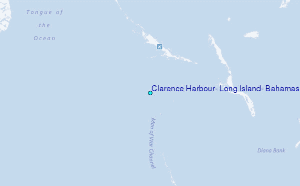