
| Distance / Altitude | Location | Report Date / Time | Live Weather | Wind | Gusts | Temp. | Visibility | Cloud |
|---|---|---|---|---|---|---|---|---|
| 22 km N / 213 m | Dillingham Airport (Alaska) | 2026-03-14 15:56 local (2026/03/14 23:56 GMT) | Clear | light winds from the N (15 km/h at 350) | -7°C | 16 | ||
| 33 km W / 16 m | Manokotak Airport (Alaska) | 2026-03-14 15:56 local (2026/03/14 23:56 GMT) | Clear | light winds from the SSW (11 km/h at 200) | -6°C | 16 | ||
| 90 km E / 49 m | South Naknek (AK) (Alaska) | 2026-03-14 15:56 local (2026/03/14 23:56 GMT) | Clear | moderate winds from the N (28 km/h at 350) | -10°C | 16 | ||
| 94 km NE / 92 m | New Stuyahok Airport (Alaska) | 2026-03-14 15:56 local (2026/03/14 23:56 GMT) | Clear | moderate winds from the N (22 km/h at 350) | — | 16 | ||
| 100 km SE / 216 m | Egegik Airport (Alaska) | 2026-03-14 15:56 local (2026/03/14 23:56 GMT) | Clear | light winds from the N (19 km/h at 360) | -9°C | 16 | ||
| 106 km W / 3 m | BUOY-TGXA2 (Marine) | 2026-03-14 17:32 local (2026/03/15 01:32 GMT) | moderate winds from the NW (24 km/h at 320) | -8°C | - | |||
| 109 km W / 194 m | Togiak Airport (Alaska) | 2026-03-14 15:56 local (2026/03/14 23:56 GMT) | Clear | moderate winds from the NW (28 km/h at 310) | -7°C | 16 | ||
| 111 km E / 211 m | King Salmon Airport (Alaska) | 2026-03-14 15:54 local (2026/03/14 23:54 GMT) | Clear | moderate winds from the NNW (26 km/h at 330) | -9°C | 16 | ||
| 122 km NE / 82 m | Koliganek Airport (Alaska) | 2026-03-14 15:56 local (2026/03/14 23:56 GMT) | Clear | fresh winds from the N (37 km/h at 350) | -11°C | 13 | ||
| 152 km SSE / 18 m | Pilot Point (Alaska) | 2026-03-14 15:56 local (2026/03/14 23:56 GMT) | Clear | moderate winds from the N (28 km/h at 360) | -9°C | 14 |
| Contours: | Roads & Rivers: | Select a
tide station / surf break / city |
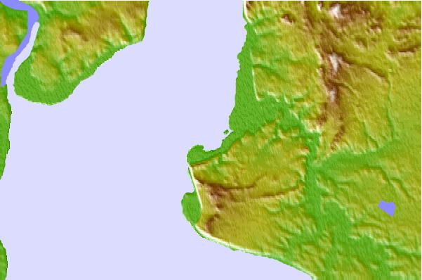
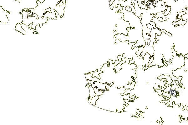
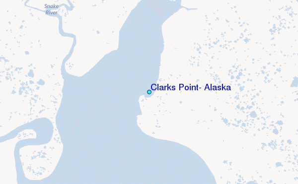
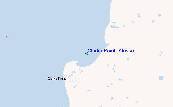
Use this relief map to navigate to tide stations, surf breaks and cities that are in the area of Clarks Point, Alaska.
Other Nearby Locations' tide tables and tide charts to Clarks Point, Alaska:
click location name for more details
 Surf breaks close to Clarks Point, Alaska:
|
||
|---|---|---|
| Closest surf break | Monashka Bay | 232 mi |
| Second closest surf break | Termination Point | 232 mi |
| Third closest surf break | Mill Bay | 235 mi |
| Fourth closest surf break | Fossil Beach Kodiak | 246 mi |
| Fifth closest surf break | Bird Point (Tidal Bore) | 280 mi |


 Nearest
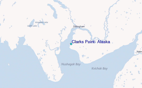