
| Distance / Altitude | Location | Report Date / Time | Live Weather | Wind | Gusts | Temp. | Visibility | Cloud |
|---|---|---|---|---|---|---|---|---|
| 44 km NW / 216 m | Terra Nova Airport (Newfoundland) | 2026-06-08 20:30 local (2026/06/08 23:00 GMT) | - | light winds from the NW (11 km/h at 320) | 3°C | 0.0 | ||
| 71 km NE / 30 m | Bonavista (Canada) | 2026-06-08 21:30 local (2026/06/09 00:00 GMT) | - | strong winds from the SW (43 km/h at 220) | — | - | - - - | |
| 75 km SSE / 32 m | Bay Roberts (Newfoundland) | 2026-06-08 21:00 local (2026/06/08 23:30 GMT) | dry | wind obs. (6 kph from 248 degs) was rejected (- km/h at -) | 5°C | - | - - 0 | |
| 76 km SSE / 3 m | SHIP6600 (Marine) | 2026-06-08 19:30 local (2026/06/08 22:00 GMT) | light winds from the NNE (11 km/h at 20) | 6°C | - | |||
| 76 km SSE / 3 m | SHIP2595 (Marine) | 2026-06-08 19:30 local (2026/06/08 22:00 GMT) | light winds from the NNE (11 km/h at 20) | 6°C | - | |||
| 76 km SSE / 3 m | SHIP7943 (Marine) | 2026-06-08 20:30 local (2026/06/08 23:00 GMT) | light winds from the N (11 km/h at 10) | 6°C | - | |||
| 76 km SSE / 3 m | SHIP2756 (Marine) | 2026-06-08 20:30 local (2026/06/08 23:00 GMT) | light winds from the N (11 km/h at 10) | 6°C | - | |||
| 76 km SSE / 15 m | SHIP7201 (Marine) | 2026-06-08 21:30 local (2026/06/09 00:00 GMT) | light winds from the N (11.16 km/h at 360) | — | - km | |||
| 76 km SSE / 3 m | SHIP4837 (Marine) | 2026-06-08 19:30 local (2026/06/08 22:00 GMT) | light winds from the NNE (11 km/h at 20) | 6°C | - | |||
| 76 km SSE / 3 m | SHIP5165 (Marine) | 2026-06-08 19:30 local (2026/06/08 22:00 GMT) | light winds from the NNE (11 km/h at 20) | 6°C | - |
| Contours: | Roads & Rivers: | Select a
tide station / surf break / city |
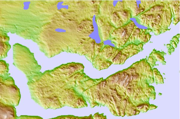
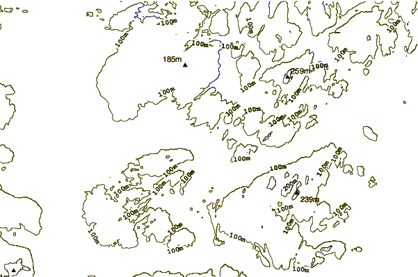
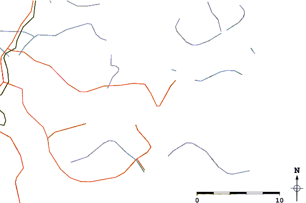
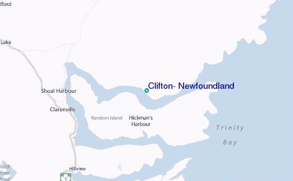
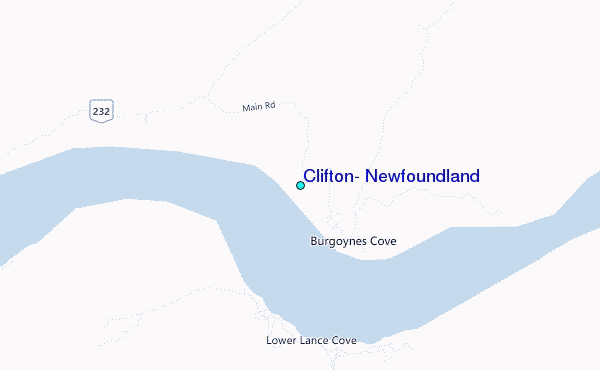
Use this relief map to navigate to tide stations, surf breaks and cities that are in the area of Clifton, Newfoundland.
Other Nearby Locations' tide tables and tide charts to Clifton, Newfoundland:
click location name for more details
 Surf breaks close to Clifton, Newfoundland:
|
||
|---|---|---|
| Closest surf break | Ingonish Beach | 329 mi |
| Second closest surf break | Kennington Cove | 338 mi |
| Third closest surf break | Michaud Point | 375 mi |
| Fourth closest surf break | Martinique | 510 mi |
| Fifth closest surf break | Lawrencetown Left Point | 518 mi |


 Nearest
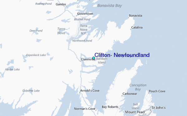