
| Distance / Altitude | Location | Report Date / Time | Live Weather | Wind | Gusts | Temp. | Visibility | Cloud |
|---|---|---|---|---|---|---|---|---|
| 176 km E / 245 m | Ivujivik Airport (Quebec) | 2026-04-11 17:00 local (2026/04/11 21:00 GMT) | Light snow | strong winds from the S (39 km/h at 180) | -18°C | 8 | overcast | |
| 220 km NW / 215 m | Coral Harbour Airport (N.w. Territories) | 2026-04-11 18:00 local (2026/04/11 22:00 GMT) | - | light winds from the W (9 km/h at 270) | -23°C | 24 | few | |
| 220 km NW / 22 m | Coral Harbour Airport (Canada) | 2026-04-11 19:00 local (2026/04/11 23:00 GMT) | - | - (- km/h at -) | — | - | - - - | |
| 249 km SE / 285 m | Akulivik Airport (Quebec) | 2026-04-11 17:00 local (2026/04/11 21:00 GMT) | - | moderate winds from the SW (24 km/h at 220) | -14°C | 24 | few | |
| 312 km NE / 50 m | Cape Dorset Climate- NU (Canada) | 2026-04-11 19:00 local (2026/04/11 23:00 GMT) | - | wind obs. (14 kph from 80 degs) was rejected (- km/h at -) | — | - | - - - | |
| 312 km NE / 217 m | Cape Dorset Airport (N.w. Territories) | 2026-04-11 18:38 local (2026/04/11 22:38 GMT) | Haze - | light winds from the SW (17 km/h at 220) | -16°C | 8 | scattered broken | |
| 347 km SE / 339 m | Puvirnituq Airport (Quebec) | 2026-04-11 18:15 local (2026/04/11 22:15 GMT) | Haze - | light winds from the SW (17 km/h at 220) | -17°C | 10 | overcast | |
| 423 km ESE / 503 m | Parc National Des Pingualuit- Que (Canada) | 2026-04-11 19:00 local (2026/04/11 23:00 GMT) | - | moderate winds from the WSW (22 km/h at 240) | — | - | - | |
| 480 km SSE / 217 m | Inukjuak Airport (Quebec) | 2026-04-11 19:00 local (2026/04/11 23:00 GMT) | - | strong winds from the W (43 km/h at 260) | — | 14 | - - - | |
| 503 km E / 244 m | Kangiqsujuaq Airport (Quebec) | 2026-04-11 17:00 local (2026/04/11 21:00 GMT) | Dry and partly cloudy | light winds from the WSW (17 km/h at 240) | -17°C | 24 | few broken |
| Contours: | Roads & Rivers: | Select a
tide station / surf break / city |
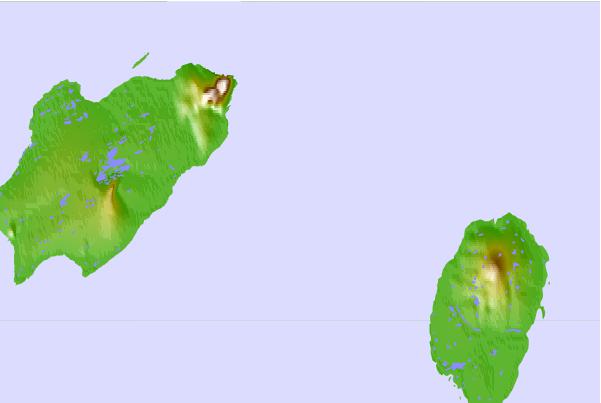
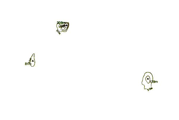
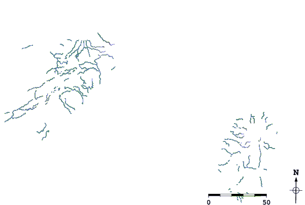
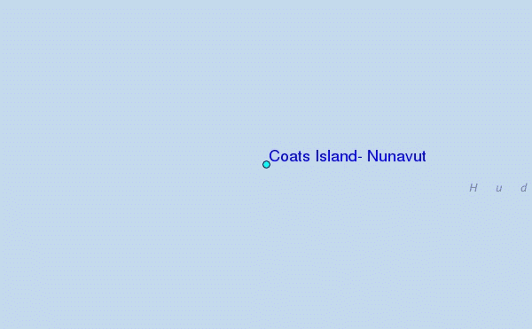
Use this relief map to navigate to tide stations, surf breaks and cities that are in the area of Coats Island, Nunavut.
Other Nearby Locations' tide tables and tide charts to Coats Island, Nunavut:
click location name for more details
 Surf breaks close to Coats Island, Nunavut:
|
||
|---|---|---|
| Closest surf break | Marathon | 969 mi |
| Second closest surf break | Alona Bay | 1065 mi |
| Third closest surf break | Keweenaw Peninsula | 1070 mi |
| Fourth closest surf break | Au Sable Point | 1106 mi |
| Fifth closest surf break | Grand Marias | 1107 mi |


 Nearest
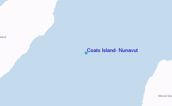