
| Distance / Altitude | Location | Report Date / Time | Live Weather | Wind | Gusts | Temp. | Visibility | Cloud |
|---|---|---|---|---|---|---|---|---|
| 3 km SE / 152 m | Corner Brook (Canada) | 2026-07-26 10:30 local (2026/07/26 13:00 GMT) | no report | light winds from the S (18 km/h at 190) | 21°C | - | - - - | |
| 50 km NE / 22 m | Deer Lake Airport (Canada) | 2026-07-26 10:30 local (2026/07/26 13:00 GMT) | no report | - (- km/h at -) | 23°C | - | - - - | |
| 51 km NE / 217 m | Deer Lake Airport (Newfoundland) | 2026-07-26 09:30 local (2026/07/26 12:00 GMT) | - | calm (0 km/h at 0) | — | 24 | ||
| 63 km SSW / 59 m | Stephenville Rcs- Nfld (Canada) | 2026-07-26 10:30 local (2026/07/26 13:00 GMT) | no report | wind obs. (7 kph from 240 degs) was rejected (- km/h at -) | 17°C | - | - - - | |
| 65 km SSW / 22 m | Kippens (Canada) | 2026-07-26 10:52 local (2026/07/26 13:22 GMT) | dry | calm (0 km/h at 205) | — | - | - - 0 | |
| 69 km N / 216 m | Rocky Harbour Airport (Newfoundland) | 2026-07-26 09:30 local (2026/07/26 12:00 GMT) | - | calm (2 km/h at 270) | 20°C | 0.0 | ||
| 69 km N / 216 m | Rocky Harbour Airport (Newfoundland) | 2026-07-26 09:30 local (2026/07/26 12:00 GMT) | - | calm (2 km/h at 270) | 20°C | 0.0 | ||
| 69 km N / 68 m | Rocky Harbour- Nfld (Canada) | 2026-07-26 10:30 local (2026/07/26 13:00 GMT) | no report | light winds from the WSW (7 km/h at 250) | 20°C | - | - | |
| 138 km E / 103 m | Badger (Aut)- Nfld (Canada) | 2026-07-26 09:30 local (2026/07/26 12:00 GMT) | no report | wind obs. (11 kph from 220 degs) was rejected (- km/h at -) | 24°C | - | - - - | |
| 151 km S / 11 m | Burgeo (Canada) | 2026-07-26 09:30 local (2026/07/26 12:00 GMT) | no report | wind obs. (14 kph from 80 degs) was rejected (- km/h at -) | 13°C | - | - - - |
| Contours: | Roads & Rivers: | Select a
tide station / surf break / city |
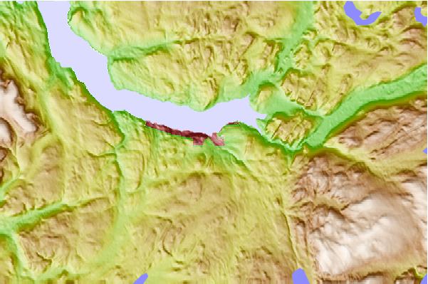
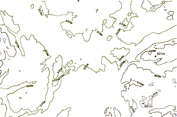
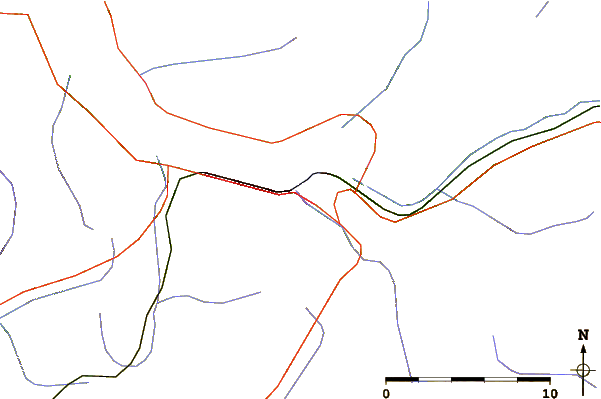
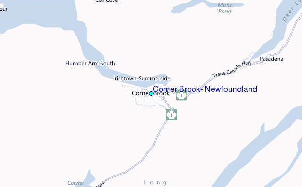
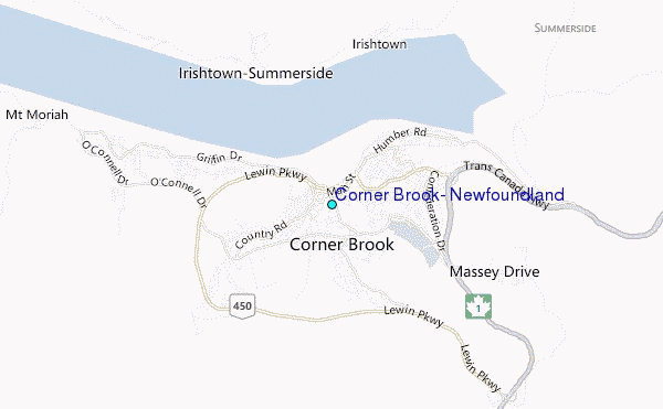
Use this relief map to navigate to tide stations, surf breaks and cities that are in the area of Corner Brook, Newfoundland.
Other Nearby Locations' tide tables and tide charts to Corner Brook, Newfoundland:
click location name for more details
 Surf breaks close to Corner Brook, Newfoundland:
|
||
|---|---|---|
| Closest surf break | Ingonish Beach | 196 mi |
| Second closest surf break | Kennington Cove | 234 mi |
| Third closest surf break | Michaud Point | 267 mi |
| Fourth closest surf break | Martinique | 384 mi |
| Fifth closest surf break | Lawrencetown Left Point | 392 mi |


 Nearest
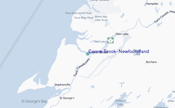