
| Distance / Altitude | Location | Report Date / Time | Live Weather | Wind | Gusts | Temp. | Visibility | Cloud |
|---|---|---|---|---|---|---|---|---|
| 5 km ESE / 0 m | lightning 5km E of Dangriga (Belize) | 2025-12-23 21:49 local (2025/12/24 03:49 GMT) | Thunderstorm | (- km/h at -) | — | |||
| 37 km ENE / 15 m | SHIP3542 (Marine) | 2025-12-23 20:00 local (2025/12/24 02:00 GMT) | - (- km/h at -) | — | - km | |||
| 37 km ENE / 3 m | SHIP6871 (Marine) | 2025-12-23 20:00 local (2025/12/24 02:00 GMT) | - (- km/h at -) | 26°C | - | |||
| 37 km ENE / 3 m | SHIP1947 (Marine) | 2025-12-23 20:00 local (2025/12/24 02:00 GMT) | - (- km/h at -) | 26°C | - | |||
| 37 km ENE / 3 m | SHIP7131 (Marine) | 2025-12-23 20:00 local (2025/12/24 02:00 GMT) | - (- km/h at -) | 26°C | - | |||
| 37 km ENE / 15 m | SHIP3729 (Marine) | 2025-12-23 20:00 local (2025/12/24 02:00 GMT) | - (- km/h at -) | — | - km | |||
| 37 km ENE / 15 m | SHIP9013 (Marine) | 2025-12-23 20:00 local (2025/12/24 02:00 GMT) | - (- km/h at -) | — | - km | |||
| 37 km ENE / 3 m | SHIP2581 (Marine) | 2025-12-23 20:00 local (2025/12/24 02:00 GMT) | - (- km/h at -) | 26°C | - | |||
| 44 km NNE / 3 m | SHIP2411 (Marine) | 2025-12-23 19:00 local (2025/12/24 01:00 GMT) | - (- km/h at -) | 27°C | - | |||
| 44 km NNE / 15 m | SHIP4130 (Marine) | 2025-12-23 19:00 local (2025/12/24 01:00 GMT) | - (- km/h at -) | — | - km |
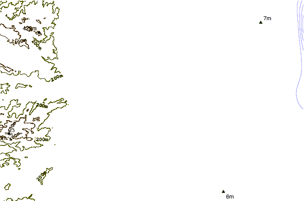
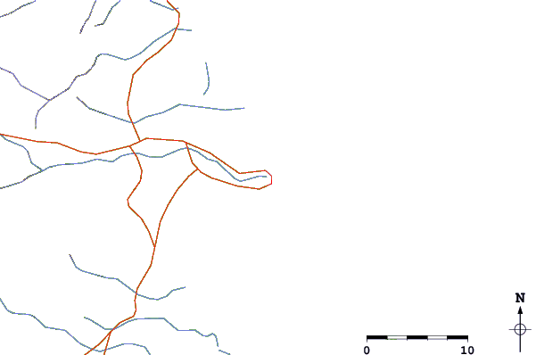
| Contours: | Roads & Rivers: | Select a
tide station / surf break / city |
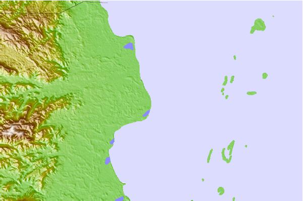
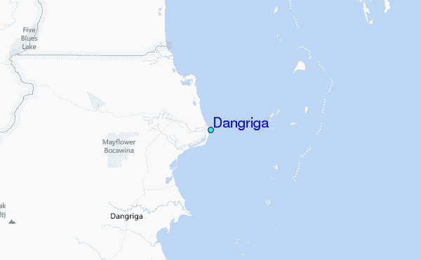
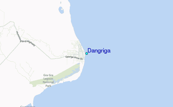
Use this relief map to navigate to tide stations, surf breaks and cities that are in the area of Dangriga.
Other Nearby Locations' tide tables and tide charts to Dangriga:
click location name for more details
 Surf breaks close to Dangriga:
|
||
|---|---|---|
| Closest surf break | East Point Long Cay | 46 mi |
| Second closest surf break | San Pedro South Reef Pass | 67 mi |
| Third closest surf break | San Pedro North Reef Pass | 69 mi |
| Fourth closest surf break | Rocky Point | 84 mi |
| Fifth closest surf break | Palma Real | 139 mi |


 Nearest
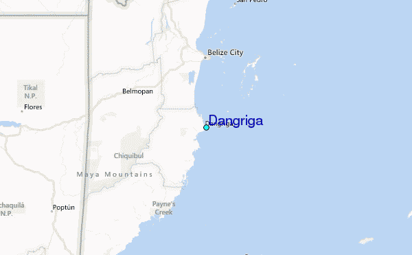