
| Distance / Altitude | Location | Report Date / Time | Live Weather | Wind | Gusts | Temp. | Visibility | Cloud |
|---|---|---|---|---|---|---|---|---|
| 62 km N / 464 m | Belize International Airport (Belize) | 2026-06-29 09:00 local (2026/06/29 15:00 GMT) | Dry and partly cloudy | light winds from the ENE (17 km/h at 70) | 31°C | 10.0 | broken | |
| 72 km E / 15 m | ASCATB272E17N (Marine) | 2026-06-29 08:39 local (2026/06/29 14:39 GMT) | light winds from the ENE (19 km/h at 77) | — | - km | |||
| 95 km SE / 15 m | ASCATB272E16N (Marine) | 2026-06-29 08:39 local (2026/06/29 14:39 GMT) | moderate winds from the ENE (24 km/h at 72) | — | - km | |||
| 99 km ESE / 15 m | ASCATB273E17N (Marine) | 2026-06-29 08:39 local (2026/06/29 14:39 GMT) | moderate winds from the E (20 km/h at 84) | — | - km | |||
| 100 km WSW / 105 m | Melchor de Mencos Airport (Guatemala) | 2026-06-29 09:00 local (2026/06/29 15:00 GMT) | Dry and partly cloudy | light winds from the ESE (11 km/h at 110) | 29°C | 10.0 | few scattered | |
| 115 km SE / 15 m | ASCATB273E16N (Marine) | 2026-06-29 08:39 local (2026/06/29 14:39 GMT) | moderate winds from the ENE (23 km/h at 74) | — | - km | |||
| 129 km ENE / 15 m | ASCATB273E18N (Marine) | 2026-06-29 08:38 local (2026/06/29 14:38 GMT) | moderate winds from the E (20 km/h at 84) | — | - km | |||
| 144 km S / 202 m | Puerto Barrios Airport (Guatemala) | 2026-06-29 09:00 local (2026/06/29 15:00 GMT) | Dry and partly cloudy | calm (0 km/h at 0) | 29°C | 10.0 | scattered broken | |
| 149 km SSW / 210 m | lightning 23km ESE of San Luis (Guatemala) | 2026-06-29 08:16 local (2026/06/29 14:16 GMT) | Thunderstorm | (- km/h at -) | — | |||
| 152 km WNW / 148 m | lightning 40km SSW of Nicolas Bravo (Mexico) | 2026-06-29 10:31 local (2026/06/29 16:31 GMT) | Thunderstorm | (- km/h at -) | — |
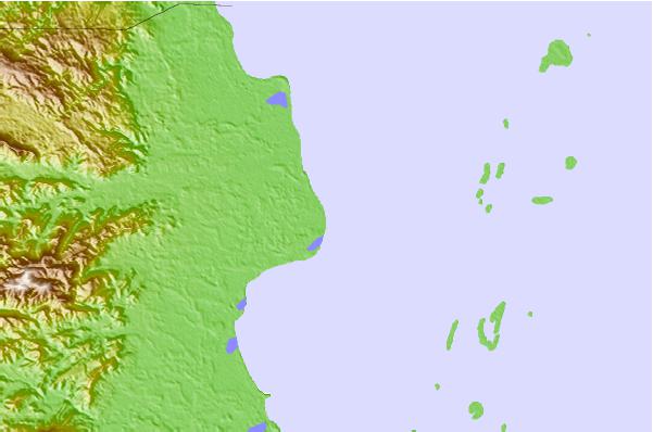
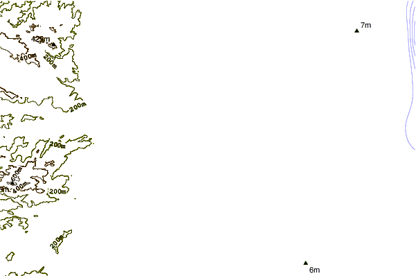
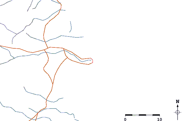
| Contours: | Roads & Rivers: | Select a
tide station / surf break / city |
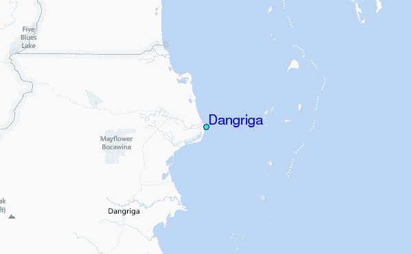
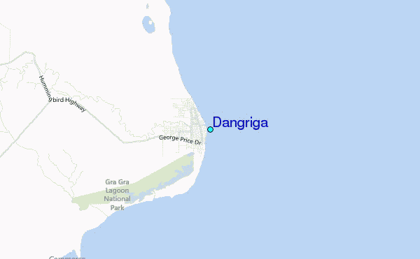
Use this relief map to navigate to tide stations, surf breaks and cities that are in the area of Dangriga.
Other Nearby Locations' tide tables and tide charts to Dangriga:
click location name for more details
 Surf breaks close to Dangriga:
|
||
|---|---|---|
| Closest surf break | East Point Long Cay | 46 mi |
| Second closest surf break | San Pedro South Reef Pass | 67 mi |
| Third closest surf break | San Pedro North Reef Pass | 69 mi |
| Fourth closest surf break | Rocky Point | 84 mi |
| Fifth closest surf break | Palma Real | 139 mi |


 Nearest
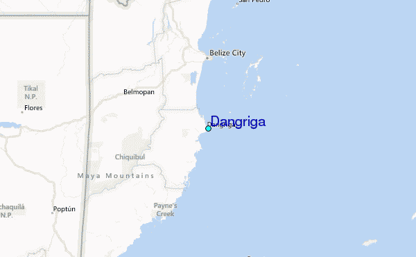