
| Distance / Altitude | Location | Report Date / Time | Live Weather | Wind | Gusts | Temp. | Visibility | Cloud |
|---|---|---|---|---|---|---|---|---|
| 10 km E / 3 m | BUOY-46303 (Marine) | 2026-07-26 03:00 local (2026/07/26 10:00 GMT) | light winds from the E (14 km/h at 80) | 17°C | - | |||
| 12 km S / 5 m | Fernwood wx (Canada) | 2026-07-26 02:02 local (2026/07/26 09:02 GMT) | dry | calm (2 km/h at 67) | 18°C | - | - - 0 | |
| 17 km S / 67 m | Vesuvius wx (Canada) | 2026-07-26 02:35 local (2026/07/26 09:35 GMT) | dry | calm (3 km/h at 96) | 17°C | - | - - 0 | |
| 22 km ENE / 11 m | Sandheads Cs- BC (Canada) | 2026-07-26 02:00 local (2026/07/26 09:00 GMT) | no report | wind obs. (14 kph from 340 degs) was rejected (- km/h at -) | 18°C | - | - - - | |
| 22 km WSW / 28 m | Nanaimo Airport (Canada) | 2026-07-26 03:00 local (2026/07/26 10:00 GMT) | no report | wind obs. (11 kph from 210 degs) was rejected (- km/h at -) | 20°C | - | - | |
| 22 km WSW / 28 m | Nanaimo Airport (Canada) | 2026-07-26 02:00 local (2026/07/26 09:00 GMT) | no report | wind obs. (11 kph from 210 degs) was rejected (- km/h at -) | 20°C | - | - - - | |
| 22 km ENE / 11 m | Sandheads Cs- BC (Canada) | 2026-07-26 02:00 local (2026/07/26 09:00 GMT) | no report | wind obs. (14 kph from 340 degs) was rejected (- km/h at -) | 18°C | - | - | |
| 23 km ENE / 215 m | Sand Heads Airport (British Columbia) | 2026-07-26 02:00 local (2026/07/26 09:00 GMT) | - | light winds from the SE (19 km/h at 130) | 18°C | 0.0 | ||
| 24 km S / 47 m | North Cowichan- BC (Canada) | 2026-07-26 03:00 local (2026/07/26 10:00 GMT) | no report | calm (0 km/h at 350) | 9°C | - | - | |
| 27 km WNW / 217 m | Entrance Island Airport (British Columbia) | 2026-07-26 02:00 local (2026/07/26 09:00 GMT) | - | moderate winds from the ESE (24 km/h at 110) | 16°C | 0.0 |
| Contours: | Roads & Rivers: | Select a
tide station / surf break / city |
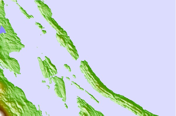
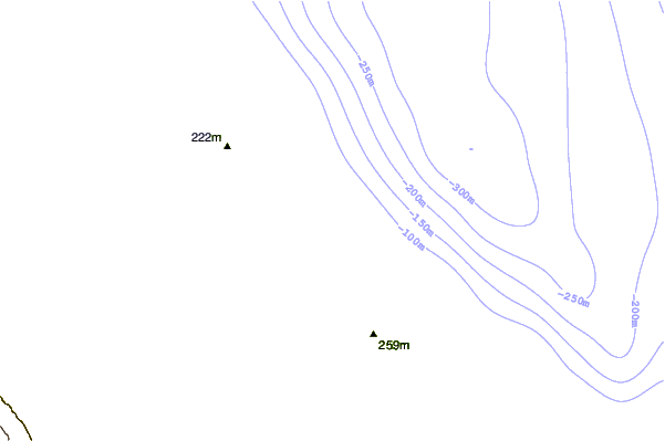
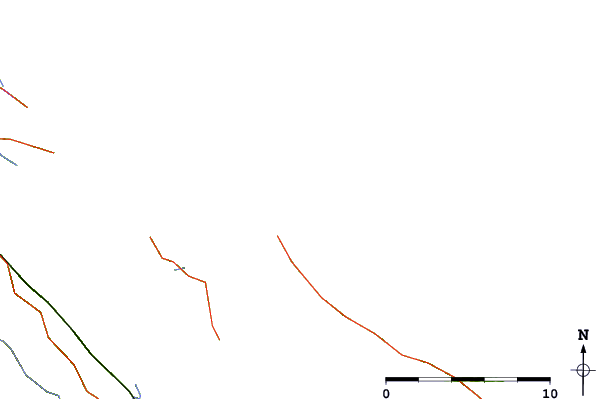
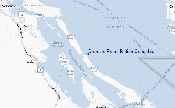
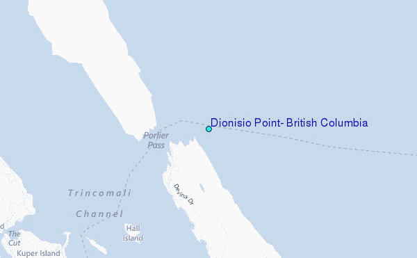
Use this relief map to navigate to tide stations, surf breaks and cities that are in the area of Dionisio Point, British Columbia.
Other Nearby Locations' tide tables and tide charts to Dionisio Point, British Columbia:
click location name for more details
 Surf breaks close to Dionisio Point, British Columbia:
|
||
|---|---|---|
| Closest surf break | Ambleside Park | 29 mi |
| Second closest surf break | China Beach | 47 mi |
| Third closest surf break | Jordan River | 47 mi |
| Fourth closest surf break | Sombrio Beach | 48 mi |
| Fifth closest surf break | Port Renfrew | 53 mi |


 Nearest
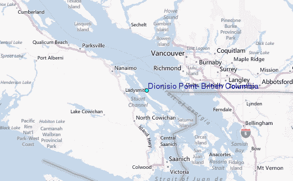