
| Distance / Altitude | Location | Report Date / Time | Live Weather | Wind | Gusts | Temp. | Visibility | Cloud |
|---|---|---|---|---|---|---|---|---|
| 93 km NNE / 1 m | Alert (Canada) | 2024-04-24 00:00 local (2024/04/24 03:00 GMT) | - | calm (0 km/h at 0) | -20°C | - | no observation | |
| 95 km NNE / 198 m | Alert Airport (N.w. Territories) | 2024-04-23 23:00 local (2024/04/24 02:00 GMT) | - | calm (4 km/h at 310) | — | 24 | ||
| 419 km SW / 198 m | Eureka Airport (N.w. Territories) | 2024-04-23 23:00 local (2024/04/24 02:00 GMT) | Dry and partly cloudy | light winds from the ENE (6 km/h at 60) | -20°C | 24 | few scattered | |
| 420 km SW / 65 m | Eureka Climate (Canada) | 2024-04-24 00:00 local (2024/04/24 03:00 GMT) | no report | light winds from the E (15 km/h at 100) | -20°C | 44 km | - mostly cloudy - | |
| 450 km WSW / 72 m | Svartevaeg- NU (Canada) | 2024-04-24 00:00 local (2024/04/24 03:00 GMT) | no report | light winds from the N (13 km/h at 0) | -20°C | - | - no observation - |

| Contours: | Roads & Rivers: | Select a
tide station / surf break / city |
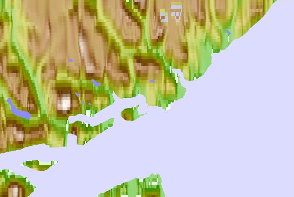
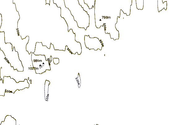
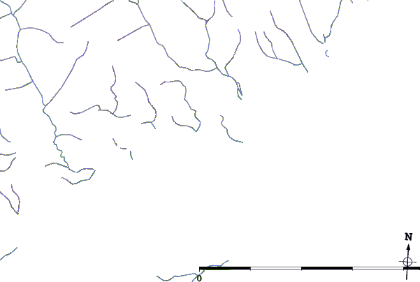
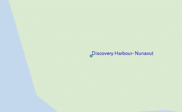
Use this relief map to navigate to tide stations, surf breaks and cities that are in the area of Discovery Harbour, Nunavut.
Other Nearby Locations' tide tables and tide charts to Discovery Harbour, Nunavut:
click location name for more details
 Surf breaks close to Discovery Harbour, Nunavut:
|
||
|---|---|---|
| Closest surf break | Eyvik | 1336 mi |
| Second closest surf break | Garur | 1420 mi |
| Third closest surf break | Grotta | 1421 mi |
| Fourth closest surf break | Hafnarfjordur | 1428 mi |
| Fifth closest surf break | Hafnir | 1430 mi |

 Nearest
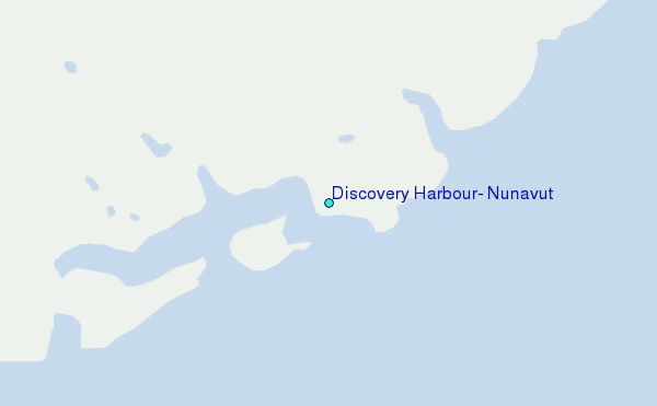