
| Distance / Altitude | Location | Report Date / Time | Live Weather | Wind | Gusts | Temp. | Visibility | Cloud |
|---|---|---|---|---|---|---|---|---|
| 103 km SSE / 584 m | Angeles/Pampanga Airport (Philippines) | 2026-04-26 21:00 local (2026/04/26 13:00 GMT) | Dry and partly cloudy | wind obs. (11 kph from 20 degs) was rejected (- km/h at -) | 30°C | 10.0 | scattered broken | |
| 135 km S / 452 m | Olongapo/Subic Bay Airport (Philippines) | 2026-04-26 21:00 local (2026/04/26 13:00 GMT) | Dry and partly cloudy | light winds from the NNE.(Wind varies from 340 to 070 degs) (9 km/h at 30) | 29°C | 10.0 | few scattered | |
| 170 km S / 15 m | hy2c120E15N (Marine) | 2026-04-26 20:11 local (2026/04/26 12:11 GMT) | moderate winds from the NNW (26 km/h at 348) | — | - km | |||
| 173 km N / 5 m | Rugsuanan wx (Philippines) | 2026-04-26 21:23 local (2026/04/26 13:23 GMT) | - | - (- km/h at ) | 31°C | - | - - 0 | |
| 173 km NE / 129 m | lightning 5km WSW of Sinamar (Philippines) | 2026-04-26 20:45 local (2026/04/26 12:45 GMT) | Thunderstorm | (- km/h at -) | — | |||
| 177 km SSE / 26 m | Quezon City (Åland) | 2026-04-26 22:36 local (2026/04/26 14:36 GMT) | dry | calm (0 km/h at 136) | 29°C | - | - - 0 | |
| 188 km SSE / 217 m | Ninoy Aquino International Airport (Manila) (Philippines) | 2026-04-26 21:00 local (2026/04/26 13:00 GMT) | Dry and partly cloudy | light winds from the SE.(Wind varies from 090 to 180 degs) (11 km/h at 130) | 31°C | 10.0 | few broken - | |
| 191 km SSE / 26 m | Paranaque (Philippines) | 2026-04-26 22:18 local (2026/04/26 14:18 GMT) | dry | light winds from the ESE (10 km/h at 116) | 29°C | - | - - 0 | |
| 197 km SSE / 22 m | Sucat (Philippines) | 2026-04-26 22:16 local (2026/04/26 14:16 GMT) | dry | light winds from the ESE (10 km/h at 109) | 29°C | - | - - 0 | |
| 210 km NE / 195 m | lightning 6km ENE of Siempre Viva (Philippines) | 2026-04-26 20:45 local (2026/04/26 12:45 GMT) | Thunderstorm | (- km/h at -) | — |
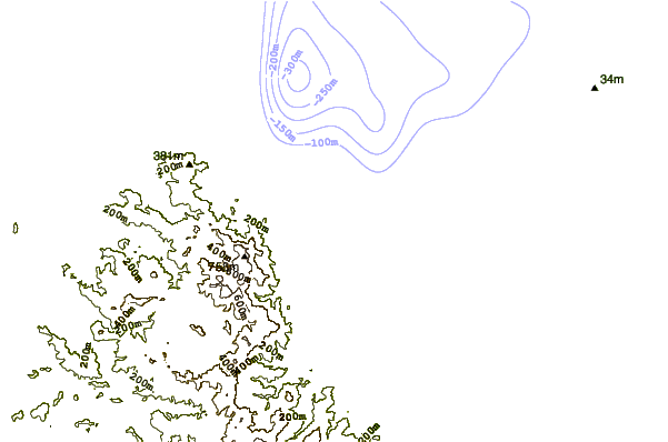
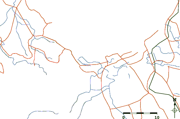
| Contours: | Roads & Rivers: | Select a
tide station / surf break / city |
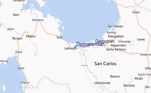
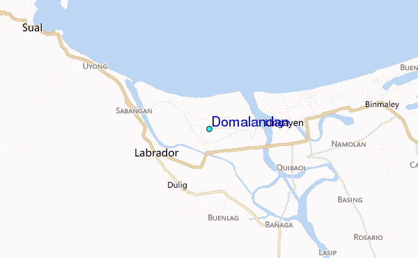
Use this relief map to navigate to tide stations, surf breaks and cities that are in the area of Domalandan.
Other Nearby Locations' tide tables and tide charts to Domalandan:
click location name for more details
 Surf breaks close to Domalandan:
|
||
|---|---|---|
| Closest surf break | Bauang | 37 mi |
| Second closest surf break | Poro Point | 42 mi |
| Third closest surf break | Car-rille | 43 mi |
| Fourth closest surf break | Mona Liza Point | 45 mi |
| Fifth closest surf break | San Juan | 45 mi |


 Nearest
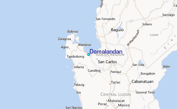