
| Distance / Altitude | Location | Report Date / Time | Live Weather | Wind | Gusts | Temp. | Visibility | Cloud |
|---|---|---|---|---|---|---|---|---|
| 188 km S / 2 m | Arctic Bay Airport (N.w. Territories) | 2025-12-25 23:00 local (2025/12/26 04:00 GMT) | - | wind obs. (11 kph from 310 degs) was rejected (- km/h at -) | -29°C | 0.0 | ||
| 188 km S / 10 m | Arctic Bay Cs- NU (Canada) | 2025-12-25 22:00 local (2025/12/26 03:00 GMT) | - | light winds from the SE (14 km/h at 140) | — | - | - no observation - | |
| 213 km N / 44 m | Grise Fiord Climate- NU (Canada) | 2025-12-26 00:00 local (2025/12/26 05:00 GMT) | - | calm (4 km/h at 130) | — | - | - | |
| 247 km SE / 55 m | Pond Inlet Climate- NU (Canada) | 2025-12-25 22:00 local (2025/12/26 03:00 GMT) | - | wind obs. (7 kph from 250 degs) was rejected (- km/h at -) | — | - | - | |
| 247 km SE / 62 m | Pond Inlet A- NU (Canada) | 2025-12-26 00:00 local (2025/12/26 05:00 GMT) | - | light winds from the SW (7 km/h at 230) | — | - | - | |
| 249 km SE / 217 m | Pond Inlet Airport (N.w. Territories) | 2025-12-25 23:38 local (2025/12/26 04:38 GMT) | Light snow | light winds from the SSW (9 km/h at 210) | -27°C | 8 | broken overcast | |
| 352 km NE / 15 m | Carey Island (Greenland) | 2025-12-25 22:00 local (2025/12/26 03:00 GMT) | - | wind obs. (19 kph from 280 degs) was rejected (- km/h at -) | — | - | - no observation - | |
| 372 km WSW / 113 m | Resolute CS Airport (Canada) | 2025-12-26 00:00 local (2025/12/26 05:00 GMT) | - | light winds from the WNW (7 km/h at 290) | — | 0.0 | - - - | |
| 372 km WSW / 216 m | Resolute Airport (N.w. Territories) | 2025-12-26 00:00 local (2025/12/26 05:00 GMT) | Ice crystals | moderate winds from the ESE (20 km/h at 110) | -25°C | 24 | overcast | |
| 372 km WSW / 139 m | Resolute (Canada) | 2025-12-25 22:00 local (2025/12/26 03:00 GMT) | - | calm (0 km/h at 0) | -24°C | - | no observation |
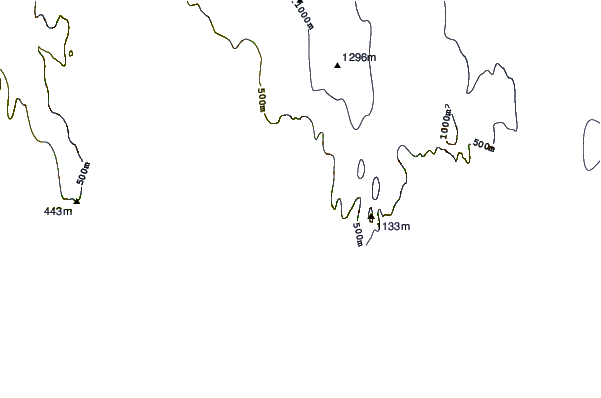
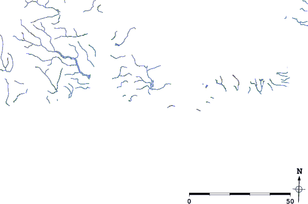
| Contours: | Roads & Rivers: | Select a
tide station / surf break / city |
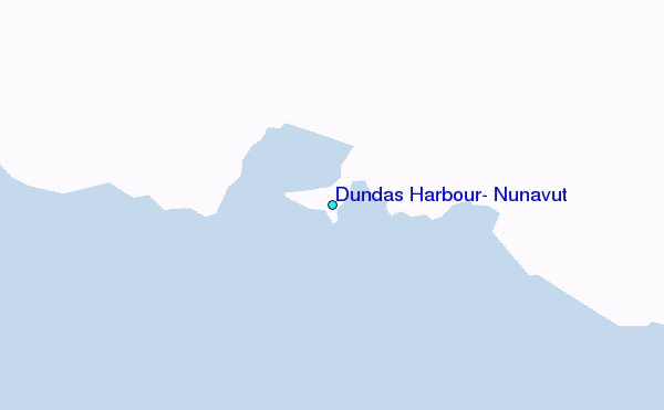
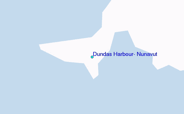
Use this relief map to navigate to tide stations, surf breaks and cities that are in the area of Dundas Harbour, Nunavut.
Other Nearby Locations' tide tables and tide charts to Dundas Harbour, Nunavut:
click location name for more details
 Surf breaks close to Dundas Harbour, Nunavut:
|
||
|---|---|---|
| Closest surf break | Eyvik | 1534 mi |
| Second closest surf break | Garur | 1544 mi |
| Third closest surf break | Grotta | 1552 mi |
| Fourth closest surf break | Hafnir | 1552 mi |
| Fifth closest surf break | Hafnarfjordur | 1558 mi |


 Nearest
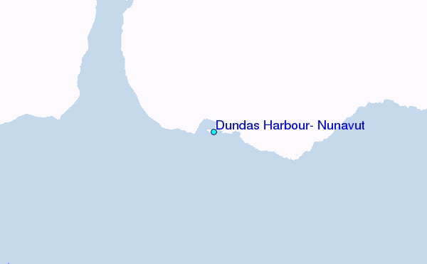