
| Distance / Altitude | Location | Report Date / Time | Live Weather | Wind | Gusts | Temp. | Visibility | Cloud |
|---|---|---|---|---|---|---|---|---|
| 5 km WSW / 4 m | JulianaAirport-St. Maarten (Sint Maarten) | 2026-03-02 21:00 local (2026/03/03 01:00 GMT) | Haze | moderate winds from the E (20 km/h at 100) | 26°C | 35 km | few | |
| 6 km W / 186 m | St Maarten Juliana Airport (Virgin Islands) | 2026-03-02 20:00 local (2026/03/03 00:00 GMT) | - | moderate winds from the E (26 km/h at 100) | 26°C | 10.0 | few | |
| 7 km NE / 4 m | Wind-adventures.com (Saint Martin) | 2026-03-02 21:00 local (2026/03/03 01:00 GMT) | - | near gales from the ESE (52 km/h at 118) | 26°C | - | - - 0 | |
| 16 km S / 3 m | SHIP508 (Marine) | 2026-03-02 19:00 local (2026/03/02 23:00 GMT) | fresh winds from the E (35 km/h at 90) | 25°C | - | |||
| 16 km NNE / 244 m | Wall Blake Airport (Virgin Islands) | 2026-03-02 20:00 local (2026/03/03 00:00 GMT) | - | moderate winds from the ESE (26 km/h at 110) | 26°C | 10.0 | few | |
| 16 km S / 15 m | SHIP6995 (Marine) | 2026-03-02 19:00 local (2026/03/02 23:00 GMT) | fresh winds from the E (35.28 km/h at 90) | 26°C | - km | |||
| 16 km S / 15 m | SHIP7311 (Marine) | 2026-03-02 19:00 local (2026/03/02 23:00 GMT) | fresh winds from the E (35.28 km/h at 90) | 26°C | - km | |||
| 16 km S / 3 m | SHIP3531 (Marine) | 2026-03-02 19:00 local (2026/03/02 23:00 GMT) | fresh winds from the E (35 km/h at 90) | 25°C | - | |||
| 16 km NNE / 244 m | Wall Blake Airport (Virgin Islands) | 2026-03-02 20:00 local (2026/03/03 00:00 GMT) | - | moderate winds from the ESE (26 km/h at 110) | 26°C | 10.0 | few | |
| 16 km S / 3 m | SHIP1968 (Marine) | 2026-03-02 19:00 local (2026/03/02 23:00 GMT) | fresh winds from the E (35 km/h at 90) | 25°C | - |
| Contours: | Roads & Rivers: | Select a
tide station / surf break / city |
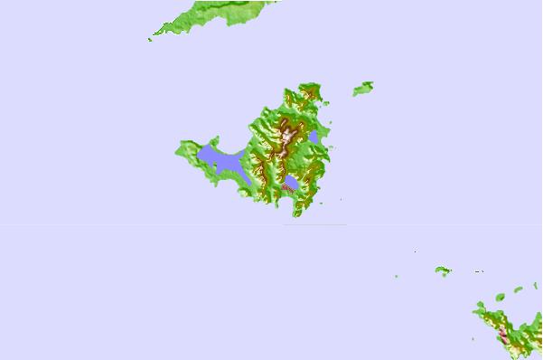
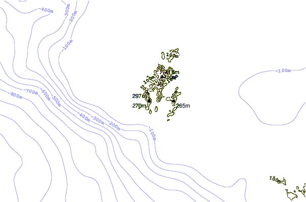
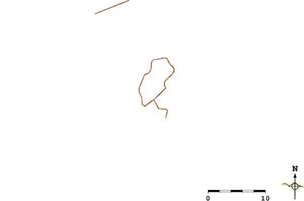
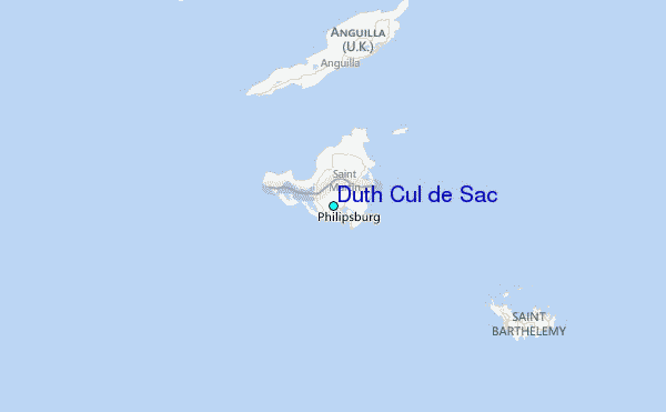
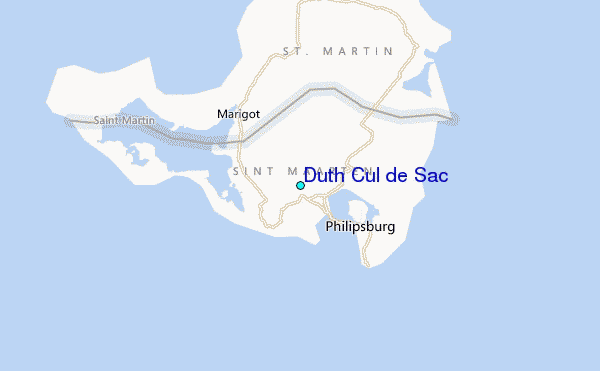
Use this relief map to navigate to tide stations, surf breaks and cities that are in the area of Duth Cul de Sac.
Other Nearby Locations' tide tables and tide charts to Duth Cul de Sac:
click location name for more details
 Surf breaks close to Duth Cul de Sac:
|
||
|---|---|---|
| Closest surf break | Guana Bay | 2 mi |
| Second closest surf break | Friars Bay | 4 mi |
| Third closest surf break | Galion | 4 mi |
| Fourth closest surf break | Le Gallion | 4 mi |
| Fifth closest surf break | Mullet Bay | 4 mi |


 Nearest
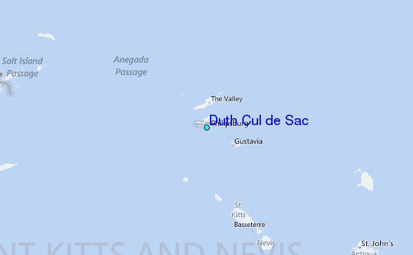