
| Distance / Altitude | Location | Report Date / Time | Live Weather | Wind | Gusts | Temp. | Visibility | Cloud |
|---|---|---|---|---|---|---|---|---|
| 3 km SE / 411 m | Dzaoudzi/Pamanzi Airport (Comoros) | 2025-12-24 22:30 local (2025/12/24 19:30 GMT) | Dry and partly cloudy | light winds from the NNE.(Wind varies from 350 to 070 degs) (11 km/h at 30) | 28°C | 10.0 | broken broken | |
| 46 km NE / 15 m | ASCATC46E13S (Marine) | 2025-12-24 21:50 local (2025/12/24 18:50 GMT) | light winds from the NE (18 km/h at 53) | — | - km | |||
| 101 km SE / 15 m | ASCATC46E14S (Marine) | 2025-12-24 21:50 local (2025/12/24 18:50 GMT) | light winds from the NNE (19 km/h at 18) | — | - km | |||
| 140 km N / 15 m | ASCATC45E12S (Marine) | 2025-12-24 21:50 local (2025/12/24 18:50 GMT) | light winds from the ENE (19 km/h at 73) | — | - km | |||
| 141 km ENE / 15 m | ASCATC47E13S (Marine) | 2025-12-24 21:50 local (2025/12/24 18:50 GMT) | moderate winds from the NE (21 km/h at 43) | — | - km | |||
| 159 km NNE / 15 m | ASCATC46E12S (Marine) | 2025-12-24 21:50 local (2025/12/24 18:50 GMT) | light winds from the E (18 km/h at 82) | — | - km | |||
| 184 km ESE / 15 m | ASCATC47E14S (Marine) | 2025-12-24 21:50 local (2025/12/24 18:50 GMT) | moderate winds from the NNE (20 km/h at 28) | — | - km | |||
| 225 km NE / 15 m | ASCATC47E12S (Marine) | 2025-12-24 21:50 local (2025/12/24 18:50 GMT) | moderate winds from the E (22 km/h at 80) | — | - km | |||
| 231 km SSE / 15 m | ASCATC46E15S (Marine) | 2025-12-24 21:50 local (2025/12/24 18:50 GMT) | light winds from the NNE (14 km/h at 31) | — | - km | |||
| 251 km N / 15 m | ASCATC45E11S (Marine) | 2025-12-24 21:51 local (2025/12/24 18:51 GMT) | light winds from the E (17 km/h at 80) | — | - km |
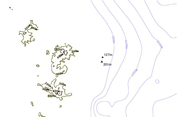
| Contours: | Roads & Rivers: | Select a
tide station / surf break / city |

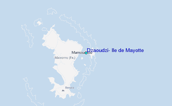
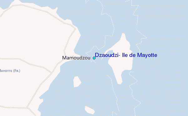
Use this relief map to navigate to tide stations, surf breaks and cities that are in the area of Dzaoudzi, Ile de Mayotte.
Other Nearby Locations' tide tables and tide charts to Dzaoudzi, Ile de Mayotte:
click location name for more details
 Surf breaks close to Dzaoudzi, Ile de Mayotte:
|
||
|---|---|---|
| Closest surf break | Oyster Bay Beach - Coco Beach | 581 mi |
| Second closest surf break | Sea Cliff | 582 mi |
| Third closest surf break | Jam's Right | 584 mi |
| Fourth closest surf break | Nungwi Reefs | 635 mi |
| Fifth closest surf break | Mombasa Channel | 712 mi |


 Nearest
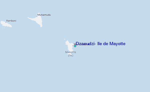