
| Distance / Altitude | Location | Report Date / Time | Live Weather | Wind | Gusts | Temp. | Visibility | Cloud |
|---|---|---|---|---|---|---|---|---|
| 16 km NE / 8 m | Cochin International (India) | 2026-01-10 04:00 local (2026/01/09 22:30 GMT) | Mist - | light winds from the E (6 km/h at 80) | 21°C | 4.0 | few | |
| 123 km NW / 104 m | Calicut Airport (India) | 2026-01-10 04:00 local (2026/01/09 22:30 GMT) | Mist - | light winds from the ENE (9 km/h at 70) | 21°C | 5.0 | few | |
| 133 km NE / 399 m | Coimbatore International Airport-Peelamedu (India) | 2026-01-10 04:00 local (2026/01/09 22:30 GMT) | Mist - | light winds from the ENE (9 km/h at 70) | 23°C | 4.0 | few broken - | |
| 136 km NE / 400 m | CoimbatorePeelamedu (India) | 2026-01-10 02:30 local (2026/01/09 21:00 GMT) | Mist | light winds from the ENE (9 km/h at 70) | 23°C | 4 km | - mostly cloudy - | |
| 142 km NW / 217 m | Kozhikode (India) | 2026-01-10 02:30 local (2026/01/09 21:00 GMT) | - | calm (0 km/h at 0) | 24°C | 4 km | few | |
| 190 km SSE / 64 m | Thiruvananthapuram(43371-0) (India) | 2026-01-10 02:30 local (2026/01/09 21:00 GMT) | Mist | calm (0 km/h at 0) | 24°C | 2 km | few | |
| 191 km SSE / 14 m | Trivandrum International Airport (India) | 2026-01-10 04:00 local (2026/01/09 22:30 GMT) | Mist - | calm (0 km/h at 0) | 24°C | 3.5 | few scattered - | |
| 198 km E / 131 m | Madurai Airport (India) | 2026-01-10 04:00 local (2026/01/09 22:30 GMT) | Haze - | light winds from the ENE (11 km/h at 60) | 24°C | 4.0 | few broken | |
| 220 km NW / 76 m | Kannur International Airport (India) | 2026-01-10 04:00 local (2026/01/09 22:30 GMT) | Haze - | light winds from the ESE (15 km/h at 110) | 22°C | 4.0 | no significant cloud | |
| 257 km SSE / 37 m | Kanniyakumari (India) | 2026-01-10 02:30 local (2026/01/09 21:00 GMT) | - | calm (4 km/h at 20) | 26°C | 4 km | few |
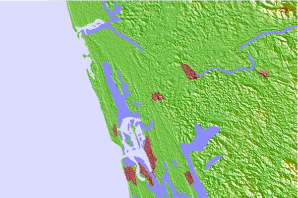
| Contours: | Roads & Rivers: | Select a
tide station / surf break / city |
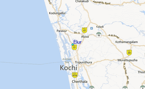
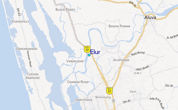
Use this relief map to navigate to tide stations, surf breaks and cities that are in the area of Elur.
Other Nearby Locations' tide tables and tide charts to Elur:
click location name for more details
 Surf breaks close to Elur:
|
||
|---|---|---|
| Closest surf break | Varkala | 97 mi |
| Second closest surf break | Boar Rice | 98 mi |
| Third closest surf break | Kovalam | 126 mi |
| Fourth closest surf break | Tiruchendur | 167 mi |
| Fifth closest surf break | Manapad Point (Alwars) | 169 mi |


 Nearest
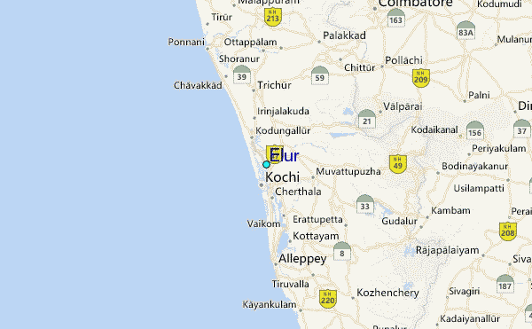