
| Distance / Altitude | Location | Report Date / Time | Live Weather | Wind | Gusts | Temp. | Visibility | Cloud |
|---|---|---|---|---|---|---|---|---|
| 92 km S / 14 m | Cartwright (Canada) | 2026-05-27 00:30 local (2026/05/27 03:00 GMT) | - | light winds from the SW (7 km/h at 230) | — | 36 km | - clear - | |
| 95 km S / 12 m | Cartwright Airport (Newfoundland) | 2026-05-26 23:30 local (2026/05/27 02:00 GMT) | Clear | light winds from the SW (9 km/h at 220) | 3°C | 14 | ||
| 101 km E / 15 m | ASCATC304E54N (Marine) | 2026-05-26 22:17 local (2026/05/27 00:47 GMT) | fresh winds from the SSE (38 km/h at 147) | — | - km | |||
| 126 km NE / 15 m | ASCATC304E55N (Marine) | 2026-05-26 22:17 local (2026/05/27 00:47 GMT) | fresh winds from the SE (38 km/h at 144) | — | - km | |||
| 148 km E / 15 m | ASCATC305E54N (Marine) | 2026-05-26 22:17 local (2026/05/27 00:47 GMT) | fresh winds from the SSE (30 km/h at 149) | — | - km | |||
| 153 km N / 15 m | SHIP2120 (Marine) | 2026-05-27 00:30 local (2026/05/27 03:00 GMT) | fresh winds from the SE (35.28 km/h at 140) | — | - km | |||
| 179 km ENE / 15 m | ASCATC305E55N (Marine) | 2026-05-26 22:17 local (2026/05/27 00:47 GMT) | fresh winds from the SSE (32 km/h at 148) | — | - km | |||
| 186 km N / 3 m | SHIP1947 (Marine) | 2026-05-26 23:30 local (2026/05/27 02:00 GMT) | strong winds from the SSE (39 km/h at 150) | 2°C | - | |||
| 186 km N / 3 m | SHIP2837 (Marine) | 2026-05-26 23:30 local (2026/05/27 02:00 GMT) | strong winds from the SSE (39 km/h at 150) | 2°C | - | |||
| 186 km N / 15 m | SHIP3619 (Marine) | 2026-05-26 23:30 local (2026/05/27 02:00 GMT) | fresh winds from the SSE (38.88 km/h at 150) | — | - km |
| Contours: | Roads & Rivers: | Select a
tide station / surf break / city |
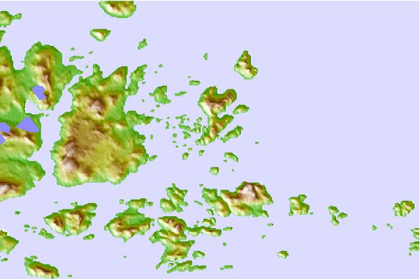
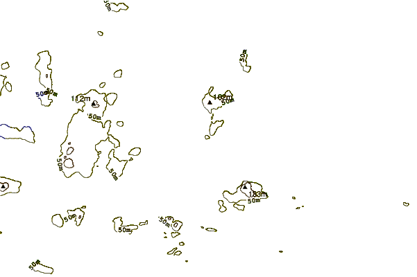
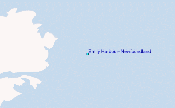
Use this relief map to navigate to tide stations, surf breaks and cities that are in the area of Emily Harbour, Newfoundland.
Other Nearby Locations' tide tables and tide charts to Emily Harbour, Newfoundland:
click location name for more details
 Surf breaks close to Emily Harbour, Newfoundland:
|
||
|---|---|---|
| Closest surf break | Ingonish Beach | 564 mi |
| Second closest surf break | Kennington Cove | 612 mi |
| Third closest surf break | Michaud Point | 639 mi |
| Fourth closest surf break | Martinique | 731 mi |
| Fifth closest surf break | Lawrencetown Left Point | 736 mi |


 Nearest
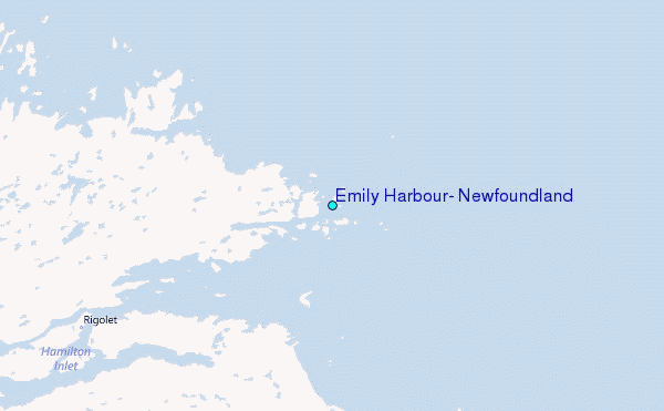