
| Distance / Altitude | Location | Report Date / Time | Live Weather | Wind | Gusts | Temp. | Visibility | Cloud |
|---|---|---|---|---|---|---|---|---|
| 67 km ENE / 3 m | MaumereWaiOti (Indonesia) | 2025-12-24 19:00 local (2025/12/24 11:00 GMT) | Rain | wind obs. (6 kph from 310 degs) was rejected (- km/h at -) | 27°C | 29 km | - mostly cloudy - | |
| 176 km SW / 12 m | WaingapuMauHau (Indonesia) | 2025-12-24 19:00 local (2025/12/24 11:00 GMT) | - | light winds from the SSW (7 km/h at 200) | 27°C | 5.0 km | - mostly cloudy - | |
| 217 km ENE / 0 m | lightning 153km NE of Maumere (Indonesia) | 2025-12-24 20:02 local (2025/12/24 12:02 GMT) | Thunderstorm | (- km/h at -) | — | |||
| 255 km E / 0 m | lightning 65km N of Naisano Dua (Indonesia) | 2025-12-24 18:15 local (2025/12/24 10:15 GMT) | Thunderstorm | (- km/h at -) | — | |||
| 264 km SE / 108 m | KupangEltari (Indonesia) | 2025-12-24 19:00 local (2025/12/24 11:00 GMT) | Dry and partly cloudy | calm.(Wind varies from 160 to 240 degs) (4 km/h at 230) | 26°C | 7.0 | few broken - | |
| 315 km ENE / 15 m | SHIP3198 (Marine) | 2025-12-24 19:00 local (2025/12/24 11:00 GMT) | calm (3.6 km/h at 30) | 30°C | - km | |||
| 315 km ENE / 15 m | SHIP6174 (Marine) | 2025-12-24 19:00 local (2025/12/24 11:00 GMT) | calm (3.6 km/h at 30) | 30°C | - km | |||
| 329 km WSW / 2 m | BimaM.salahuddin (Indonesia) | 2025-12-24 19:00 local (2025/12/24 11:00 GMT) | - | light winds from the SSE (6 km/h at 160) | 28°C | 26 km | - mostly cloudy - | |
| 347 km ENE / 15 m | SHIP7384 (Marine) | 2025-12-24 18:00 local (2025/12/24 10:00 GMT) | light winds from the SW (18.0 km/h at 230) | 30°C | - km | |||
| 347 km ENE / 15 m | SHIP6740 (Marine) | 2025-12-24 18:00 local (2025/12/24 10:00 GMT) | light winds from the SW (18.0 km/h at 230) | 30°C | - km |
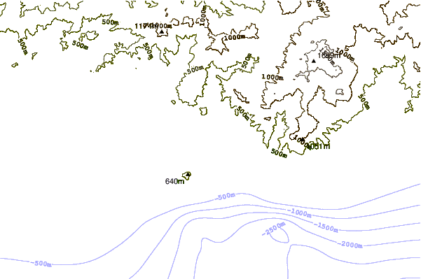
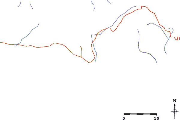
| Contours: | Roads & Rivers: | Select a
tide station / surf break / city |
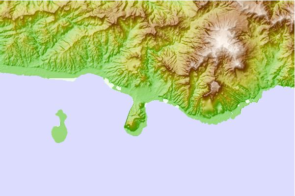
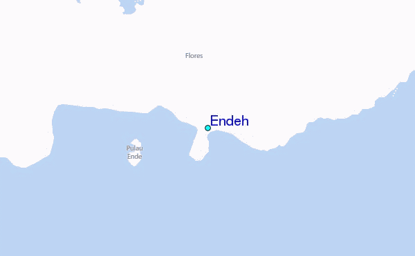
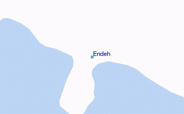
Use this relief map to navigate to tide stations, surf breaks and cities that are in the area of Endeh.
Other Nearby Locations' tide tables and tide charts to Endeh:
click location name for more details
 Surf breaks close to Endeh:
|
||
|---|---|---|
| Closest surf break | Savu Left | 116 mi |
| Second closest surf break | Savu Right | 117 mi |
| Third closest surf break | The Wedge (Raijua) | 124 mi |
| Fourth closest surf break | Pulau Dana | 139 mi |
| Fifth closest surf break | Millers Rights | 141 mi |


 Nearest
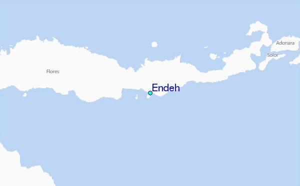