
| Distance / Altitude | Location | Report Date / Time | Live Weather | Wind | Gusts | Temp. | Visibility | Cloud |
|---|---|---|---|---|---|---|---|---|
| 2 km S / 15 m | SHIP8027 (Marine) | 2025-12-25 18:00 local (2025/12/25 23:00 GMT) | light winds from the NE (9.360000000000001 km/h at 40) | — | - km | |||
| 2 km N / 10 m | Beauport Airport (Canada) | 2025-12-25 19:00 local (2025/12/26 00:00 GMT) | - | light winds from the WSW (14 km/h at 250) | — | - | - no observation - | |
| 2 km S / 15 m | SHIP8050 (Marine) | 2025-12-25 17:00 local (2025/12/25 22:00 GMT) | light winds from the NE (12.96 km/h at 40) | — | - km | |||
| 2 km S / 3 m | SHIP5870 (Marine) | 2025-12-25 18:00 local (2025/12/25 23:00 GMT) | light winds from the NE (11 km/h at 40) | -11°C | - | |||
| 2 km S / 15 m | SHIP3261 (Marine) | 2025-12-25 18:00 local (2025/12/25 23:00 GMT) | light winds from the NE (11.16 km/h at 40) | — | - km | |||
| 2 km S / 15 m | SHIP7896 (Marine) | 2025-12-25 17:00 local (2025/12/25 22:00 GMT) | light winds from the NE (12.96 km/h at 40) | — | - km | |||
| 2 km S / 3 m | SHIP2762 (Marine) | 2025-12-25 18:00 local (2025/12/25 23:00 GMT) | light winds from the NE (9 km/h at 40) | -11°C | - | |||
| 2 km S / 15 m | SHIP8429 (Marine) | 2025-12-25 17:00 local (2025/12/25 22:00 GMT) | light winds from the NE (11.16 km/h at 50) | — | - km | |||
| 2 km S / 3 m | SHIP6670 (Marine) | 2025-12-25 17:00 local (2025/12/25 22:00 GMT) | light winds from the NE (13 km/h at 40) | -10°C | - | |||
| 2 km S / 3 m | SHIP1901 (Marine) | 2025-12-25 17:00 local (2025/12/25 22:00 GMT) | light winds from the NE (11 km/h at 50) | -10°C | - |
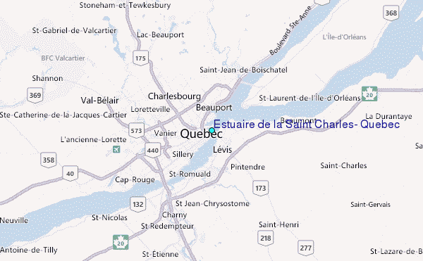
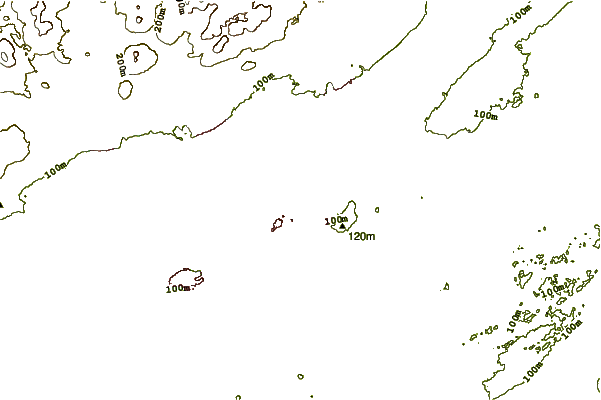
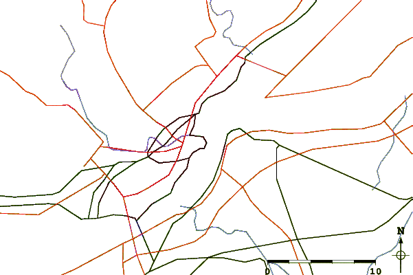
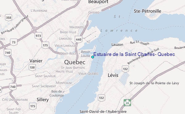
Choose Estuaire de la Saint Charles, Quebec Location Map Zoom:
| Contours: | Roads & Rivers: | Select a
tide station / surf break / city |
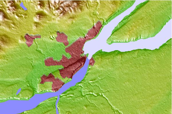
Use this relief map to navigate to tide stations, surf breaks and cities that are in the area of Estuaire de la Saint Charles, Quebec.
Other Nearby Locations' tide tables and tide charts to Estuaire de la Saint Charles, Quebec:
click location name for more details
 Surf breaks close to Estuaire de la Saint Charles, Quebec:
|
||
|---|---|---|
| Closest surf break | Trayhan's | 220 mi |
| Second closest surf break | Popham Read | 224 mi |
| Third closest surf break | Higgins Beach | 229 mi |
| Fourth closest surf break | Doc Browns | 230 mi |
| Fifth closest surf break | Pine Point | 231 mi |


 Nearest
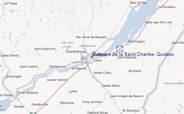