
| Distance / Altitude | Location | Report Date / Time | Live Weather | Wind | Gusts | Temp. | Visibility | Cloud |
|---|---|---|---|---|---|---|---|---|
| 25 km NE / 194 m | Iles de la madel Airport (Quebec) | 2026-07-26 04:00 local (2026/07/26 07:00 GMT) | - | light winds from the S (13 km/h at 190) | 18°C | 0.0 | ||
| 27 km NE / 8 m | Iles DE LA Madeleine- Que (Canada) | 2026-07-26 05:00 local (2026/07/26 08:00 GMT) | - | fresh winds from the WSW (32 km/h at 250) | — | - | - - - | |
| 88 km S / 8 m | East Point (Aut)- Pei (Canada) | 2026-07-26 05:00 local (2026/07/26 08:00 GMT) | no report | light winds from the SW (18 km/h at 220) | 22°C | - | - | |
| 89 km S / 217 m | East Point Airport (Prince Edward Islan) | 2026-07-26 04:00 local (2026/07/26 07:00 GMT) | - | light winds from the S (7 km/h at 170) | 15°C | 0.0 | ||
| 99 km S / 30 m | St. Peters- Pei (Canada) | 2026-07-26 03:00 local (2026/07/26 06:00 GMT) | no report | moderate winds from the SW (22 km/h at 220) | 22°C | - | - | |
| 99 km S / 30 m | St. Peters Airport (Prince Edward Island) | 2026-07-26 04:00 local (2026/07/26 07:00 GMT) | - | light winds from the SSW (7 km/h at 210) | 16°C | 0.0 | ||
| 99 km S / 30 m | St. Peters Airport (Canada) | 2026-07-26 03:00 local (2026/07/26 06:00 GMT) | no report | moderate winds from the SW (22 km/h at 220) | 22°C | - | - - - | |
| 102 km ESE / 303 m | Pleasant Bay wx (Canada) | 2026-07-26 05:19 local (2026/07/26 08:19 GMT) | dry | calm (2 km/h at 166) | 18°C | - | - - 0 | |
| 103 km SE / 8 m | La Pointe wx (Canada) | 2026-07-26 05:05 local (2026/07/26 08:05 GMT) | dry | calm (0 km/h at 0) | 12°C | - | - - 0 | |
| 103 km ESE / 42 m | Pleasant Bay (Canada) | 2026-07-26 05:29 local (2026/07/26 08:29 GMT) | dry | calm (5 km/h at 167) | 17°C | - | - - 0 |
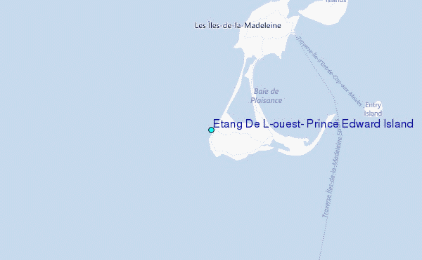
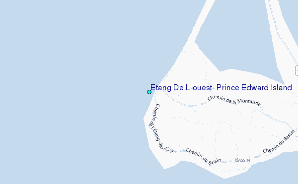
Choose Etang De L'ouest, Prince Edward Island Location Map Zoom:
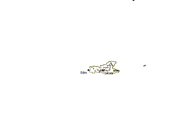
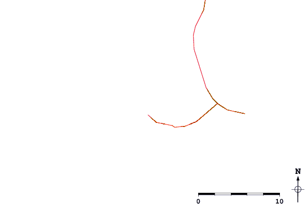
| Contours: | Roads & Rivers: | Select a
tide station / surf break / city |
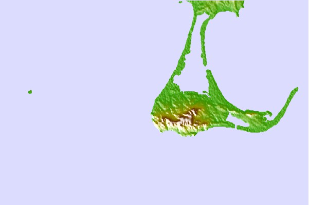
Use this relief map to navigate to tide stations, surf breaks and cities that are in the area of Etang De L'ouest, Prince Edward Island.
Other Nearby Locations' tide tables and tide charts to Etang De L'ouest, Prince Edward Island:
click location name for more details
 Surf breaks close to Etang De L'ouest, Prince Edward Island:
|
||
|---|---|---|
| Closest surf break | Ingonish Beach | 88 mi |
| Second closest surf break | Michaud Point | 132 mi |
| Third closest surf break | Kennington Cove | 133 mi |
| Fourth closest surf break | Martinique | 186 mi |
| Fifth closest surf break | Lawrencetown Left Point | 191 mi |


 Nearest
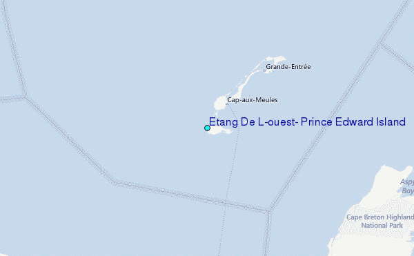