
| Distance / Altitude | Location | Report Date / Time | Live Weather | Wind | Gusts | Temp. | Visibility | Cloud |
|---|---|---|---|---|---|---|---|---|
| 14 km ENE / 194 m | Iles de la madel Airport (Quebec) | 2025-12-25 07:00 local (2025/12/25 11:00 GMT) | - | light winds from the N (13 km/h at 360) | -5°C | 0.0 | ||
| 16 km ENE / 8 m | Iles DE LA Madeleine- Que (Canada) | 2025-12-25 08:00 local (2025/12/25 12:00 GMT) | - | wind obs. (32 kph from 250 degs) was rejected (- km/h at -) | — | - | - - - | |
| 16 km ENE / 163 m | Iles DE LA Madel Airport (Quebec) | 2025-12-25 07:00 local (2025/12/25 11:00 GMT) | Dry and cloudy | light winds from the N (11 km/h at 360) | -5°C | 24 | overcast | |
| 97 km ESE / 3 m | SHIP571 (Marine) | 2025-12-25 06:00 local (2025/12/25 10:00 GMT) | light winds from the W (17 km/h at 270) | -3°C | - | |||
| 101 km S / 8 m | East Point (Aut)- Pei (Canada) | 2025-12-25 08:00 local (2025/12/25 12:00 GMT) | - | wind obs. (18 kph from 220 degs) was rejected (- km/h at -) | — | - | - | |
| 97 km ESE / 15 m | SHIP3642 (Marine) | 2025-12-25 06:00 local (2025/12/25 10:00 GMT) | light winds from the W (16.56 km/h at 270) | — | - km | |||
| 97 km ESE / 15 m | SHIP8151 (Marine) | 2025-12-25 06:00 local (2025/12/25 10:00 GMT) | light winds from the W (16.56 km/h at 270) | — | - km | |||
| 97 km ESE / 3 m | SHIP2366 (Marine) | 2025-12-25 06:00 local (2025/12/25 10:00 GMT) | light winds from the W (17 km/h at 270) | -3°C | - | |||
| 97 km ESE / 15 m | SHIP4326 (Marine) | 2025-12-25 06:00 local (2025/12/25 10:00 GMT) | light winds from the W (16.56 km/h at 270) | — | - km | |||
| 97 km ESE / 3 m | SHIP6536 (Marine) | 2025-12-25 06:00 local (2025/12/25 10:00 GMT) | light winds from the W (17 km/h at 270) | -3°C | - |
| Contours: | Roads & Rivers: | Select a
tide station / surf break / city |
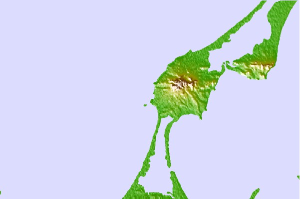
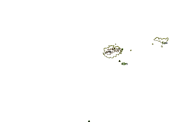
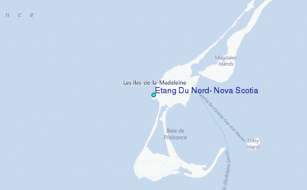
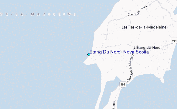
Use this relief map to navigate to tide stations, surf breaks and cities that are in the area of Etang Du Nord, Nova Scotia.
Other Nearby Locations' tide tables and tide charts to Etang Du Nord, Nova Scotia:
click location name for more details
 Surf breaks close to Etang Du Nord, Nova Scotia:
|
||
|---|---|---|
| Closest surf break | Ingonish Beach | 90 mi |
| Second closest surf break | Kennington Cove | 137 mi |
| Third closest surf break | Michaud Point | 139 mi |
| Fourth closest surf break | Martinique | 194 mi |
| Fifth closest surf break | Lawrencetown Left Point | 200 mi |


 Nearest
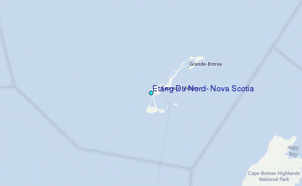