
| Distance / Altitude | Location | Report Date / Time | Live Weather | Wind | Gusts | Temp. | Visibility | Cloud |
|---|---|---|---|---|---|---|---|---|
| 25 km NE / 207 m | Twillingate Airport (Newfoundland) | 2026-05-26 07:30 local (2026/05/26 10:00 GMT) | - | light winds from the ESE (15 km/h at 110) | 3°C | 0.0 | ||
| 61 km WNW / 140 m | La Scie, Newfoundland (Canada) | 2026-05-26 07:30 local (2026/05/26 10:00 GMT) | - | wind obs. (14 kph from 230 degs) was rejected (- km/h at -) | — | - | - no observation - | |
| 64 km ESE / 15 m | SHIP6588 (Marine) | 2026-05-26 07:30 local (2026/05/26 10:00 GMT) | calm (0.0 km/h at 360) | — | - km | |||
| 74 km SSE / 151 m | Gander Int l A- Nfld (Canada) | 2026-05-26 08:30 local (2026/05/26 11:00 GMT) | - | - (- km/h at -) | — | - | - | |
| 74 km SSE / 217 m | Gander International Airport (Newfoundland) | 2026-05-26 07:30 local (2026/05/26 10:00 GMT) | Dry and cloudy | fresh winds from the ESE (30 km/h at 110) | 2°C | 32 | few few overcast | |
| 65 km ESE / 3 m | SHIP4622 (Marine) | 2026-05-26 07:30 local (2026/05/26 10:00 GMT) | calm (0 km/h at 360) | 3°C | - | |||
| 65 km ESE / 15 m | SHIP6198 (Marine) | 2026-05-26 08:30 local (2026/05/26 11:00 GMT) | calm (0.0 km/h at 360) | — | - km | |||
| 65 km ESE / 15 m | SHIP2965 (Marine) | 2026-05-26 07:30 local (2026/05/26 10:00 GMT) | calm (0.0 km/h at 360) | — | - km | |||
| 65 km ESE / 3 m | SHIP2608 (Marine) | 2026-05-26 07:30 local (2026/05/26 10:00 GMT) | calm (0 km/h at 360) | 3°C | - | |||
| 65 km ESE / 15 m | SHIP2074 (Marine) | 2026-05-26 08:30 local (2026/05/26 11:00 GMT) | calm (0.0 km/h at 360) | — | - km |
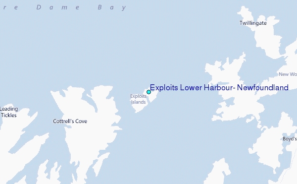
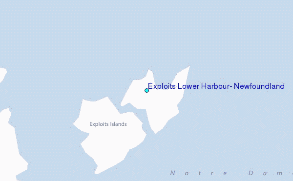
Choose Exploits Lower Harbour, Newfoundland Location Map Zoom:
| Contours: | Roads & Rivers: | Select a
tide station / surf break / city |
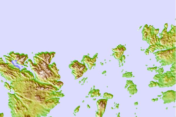
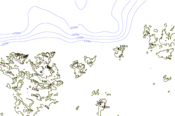
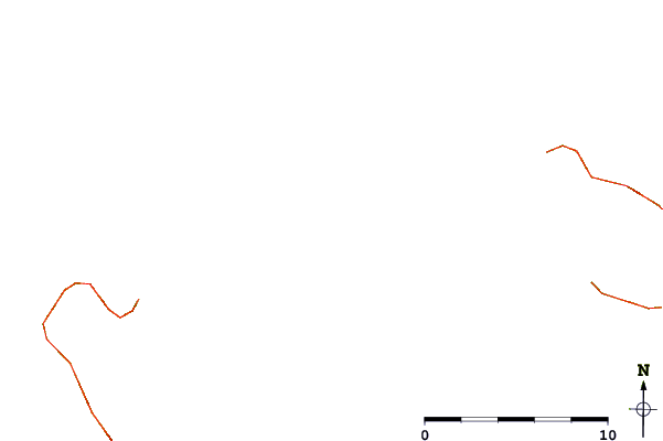
Use this relief map to navigate to tide stations, surf breaks and cities that are in the area of Exploits Lower Harbour, Newfoundland.
Other Nearby Locations' tide tables and tide charts to Exploits Lower Harbour, Newfoundland:
click location name for more details
 Surf breaks close to Exploits Lower Harbour, Newfoundland:
|
||
|---|---|---|
| Closest surf break | Ingonish Beach | 317 mi |
| Second closest surf break | Kennington Cove | 343 mi |
| Third closest surf break | Michaud Point | 379 mi |
| Fourth closest surf break | Martinique | 507 mi |
| Fifth closest surf break | Lawrencetown Left Point | 515 mi |


 Nearest
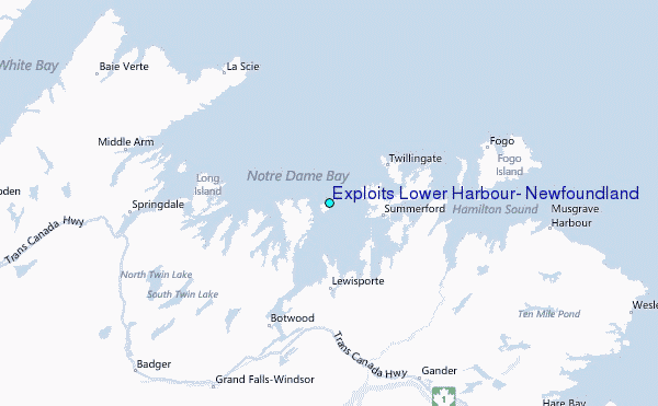