
| Distance / Altitude | Location | Report Date / Time | Live Weather | Wind | Gusts | Temp. | Visibility | Cloud |
|---|---|---|---|---|---|---|---|---|
| 0 km N / 3 m | BUOY-FRCB6 (Marine) | 2026-02-13 20:30 local (2026/02/14 00:30 GMT) | - (- km/h at -) | — | - | |||
| 2 km E / 215 m | Bermuda Naval Air Station Airport (Bermuda) | 2026-02-13 20:08 local (2026/02/14 00:08 GMT) | Shower light rain shower | moderate winds from the WNW (28 km/h at 300) | — | 10.0 | scattered scattered broken | |
| 2 km E / 4 m | LFWade International Airport (United Kingdom) | 2026-02-13 20:00 local (2026/02/14 00:00 GMT) | Rain showers | fresh winds from the WNW (31 km/h at 290) | 15°C | 35 km | - scattered - | |
| 589 km SSE / - m | SHIP853 (ocean) | 2026-02-13 20:00 local (2026/02/14 00:00 GMT) | - | light winds from the NNW (18 km/h at 330) | 22°C | - | no observation | |
| 589 km SSE / 3 m | Atlantic South Buoy (Marine) | 2026-02-13 20:50 local (2026/02/14 00:50 GMT) | fresh winds from the NNW (29 km/h at 330) | 20°C | - | |||
| 587 km SSE / - m | SHIP947 (ocean) | 2026-02-13 21:00 local (2026/02/14 01:00 GMT) | - | fresh winds from the NNW (29 km/h at 340) | 20°C | - | no observation | |
| 587 km SSE / - m | SHIP1014 (ocean) | 2026-02-13 21:00 local (2026/02/14 01:00 GMT) | - | fresh winds from the NNW (29 km/h at 340) | 20°C | - | no observation | |
| 587 km SSE / - m | SHIP1198 (ocean) | 2026-02-13 21:00 local (2026/02/14 01:00 GMT) | - | fresh winds from the NNW (29 km/h at 330) | 20°C | - | no observation | |
| 587 km SSE / - m | SHIP1496 (ocean) | 2026-02-13 20:00 local (2026/02/14 00:00 GMT) | - | fresh winds from the NNW (29 km/h at 330) | 21°C | - | no observation | |
| 587 km SSE / - m | SHIP1583 (ocean) | 2026-02-13 21:00 local (2026/02/14 01:00 GMT) | - | moderate winds from the NNW (25 km/h at 330) | 20°C | - | no observation |
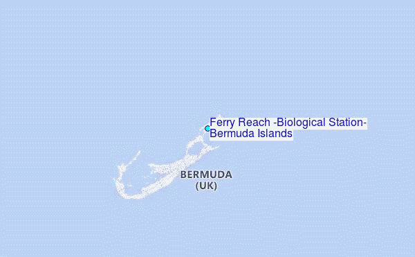
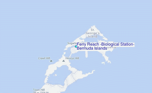
Choose Ferry Reach (Biological Station), Bermuda Islands Location Map Zoom:
| Contours: | Roads & Rivers: | Select a
tide station / surf break / city |
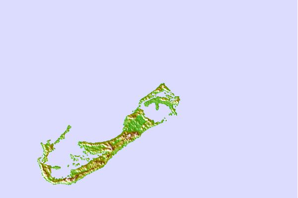
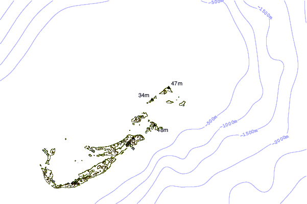
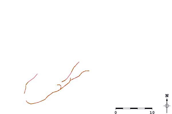
Use this relief map to navigate to tide stations, surf breaks and cities that are in the area of Ferry Reach (Biological Station), Bermuda Islands.
Other Nearby Locations' tide tables and tide charts to Ferry Reach (Biological Station), Bermuda Islands:
click location name for more details
 Surf breaks close to Ferry Reach (Biological Station), Bermuda Islands:
|
||
|---|---|---|
| Closest surf break | Castle Island | 2 mi |
| Second closest surf break | Tuckers | 2 mi |
| Third closest surf break | Moniz's Bay | 5 mi |
| Fourth closest surf break | Pampas Road | 5 mi |
| Fifth closest surf break | Dunkleys | 6 mi |


 Nearest