
| Distance / Altitude | Location | Report Date / Time | Live Weather | Wind | Gusts | Temp. | Visibility | Cloud |
|---|---|---|---|---|---|---|---|---|
| 2 km S / 216 m | Churchill Airport (Manitoba) | 2026-07-26 07:00 local (2026/07/26 12:00 GMT) | Dry and partly cloudy | light winds from the NW (7 km/h at 310) | 11°C | 24 | few broken | |
| 3 km S / 28 m | Churchill Climate- Man (Canada) | 2026-07-26 08:00 local (2026/07/26 13:00 GMT) | no report | light winds from the WNW (11 km/h at 290) | 7°C | - | - - - | |
| 257 km WSW / 262 m | Tadoule Lake (Manitoba) | 2026-07-26 07:00 local (2026/07/26 12:00 GMT) | Clear | calm (0 km/h at 0) | 11°C | 14 | few broken overcast | |
| 257 km WSW / 262 m | Tadoule Lake Cs- Man (Canada) | 2026-07-26 07:00 local (2026/07/26 12:00 GMT) | - | calm (4 km/h at 300) | — | - | - - - | |
| 259 km N / 10 m | Arviat A- NU (Canada) | 2026-07-26 08:00 local (2026/07/26 13:00 GMT) | no report | light winds from the WNW (18 km/h at 290) | 5°C | - | - - - | |
| 260 km N / 215 m | Arviat Airport (N.w. Territories) | 2026-07-26 07:00 local (2026/07/26 12:00 GMT) | - | light winds from the WSW (11 km/h at 250) | 9°C | 14 | few | |
| 271 km S / 145 m | Gillam A- Man (Canada) | 2026-07-26 08:00 local (2026/07/26 13:00 GMT) | no report | - (- km/h at -) | 7°C | - | - - - | |
| 272 km S / 216 m | Gillam Airport (Manitoba) | 2026-07-26 07:00 local (2026/07/26 12:00 GMT) | - | calm (4 km/h at 150) | — | 24 | few - - | |
| 338 km S / 183 m | Kelsey Dam Generating Station Airport (Manitoba) | 2026-07-26 07:00 local (2026/07/26 12:00 GMT) | - | light winds from the E (7 km/h at 80) | 10°C | 0.0 | ||
| 338 km S / 183 m | Kelsey Dam Cs- Man (Canada) | 2026-07-26 08:00 local (2026/07/26 13:00 GMT) | no report | calm (4 km/h at 70) | 6°C | - | - - - |
| Contours: | Roads & Rivers: | Select a
tide station / surf break / city |
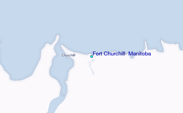
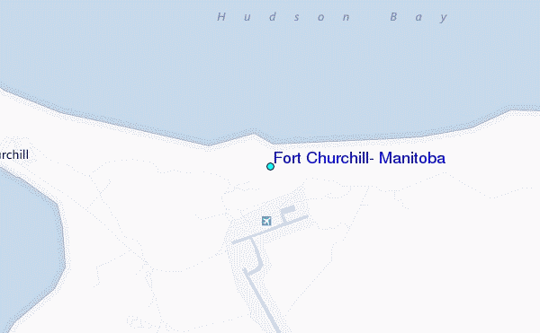
Use this relief map to navigate to tide stations, surf breaks and cities that are in the area of Fort Churchill, Manitoba.
Other Nearby Locations' tide tables and tide charts to Fort Churchill, Manitoba:
click location name for more details
 Surf breaks close to Fort Churchill, Manitoba:
|
||
|---|---|---|
| Closest surf break | Marathon | 758 mi |
| Second closest surf break | Keweenaw Peninsula | 818 mi |
| Third closest surf break | Stoney Point | 820 mi |
| Fourth closest surf break | Apostle Islands | 822 mi |
| Fifth closest surf break | Lester River | 833 mi |


 Nearest
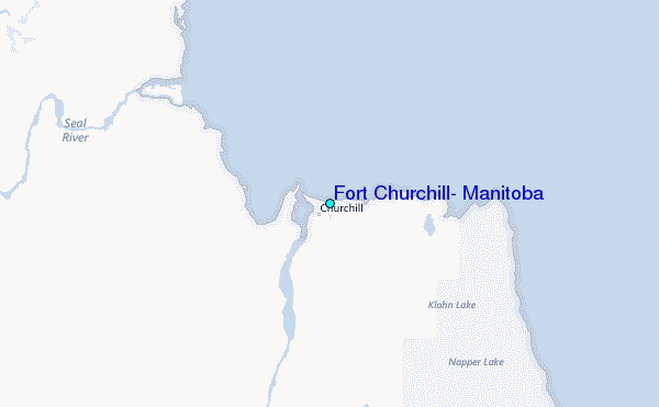