
| Distance / Altitude | Location | Report Date / Time | Live Weather | Wind | Gusts | Temp. | Visibility | Cloud |
|---|---|---|---|---|---|---|---|---|
| 1 km E / 10 m | Fort Ross- NU (Canada) | 2026-04-02 20:00 local (2026/04/03 00:00 GMT) | - | wind obs. (18 kph from 320 degs) was rejected (- km/h at -) | — | - | - - - | |
| 265 km SW / 1 m | GatesheadIsland-NU (Canada) | 2026-04-02 20:00 local (2026/04/03 00:00 GMT) | - | light winds from the W (11 km/h at 280) | -20°C | - | no observation | |
| 276 km S / 27 m | Taloyoak (Canada) | 2026-04-02 20:00 local (2026/04/03 00:00 GMT) | Diamond dust | wind obs. (7 kph from 170 degs) was rejected (- km/h at -) | -26°C | 34 km | - overcast - | |
| 278 km S / 191 m | Spence Bay Airport (N.w. Territories) | 2026-04-02 20:36 local (2026/04/03 00:36 GMT) | Ice crystals | light winds from the SW (9 km/h at 230) | -25°C | 10 | broken broken broken | |
| 301 km N / 113 m | ResoluteUa-NU (Canada) | 2026-04-02 20:30 local (2026/04/03 00:30 GMT) | Continuous light snow | light winds from the N (7 km/h at 350) | -26°C | 50 km | - mostly cloudy - | |
| 301 km N / 30 m | Resolute (Canada) | 2026-04-02 20:00 local (2026/04/03 00:00 GMT) | - | light winds from the W (7 km/h at 270) | — | - | - | |
| 302 km N / 30 m | Resolute CS Airport (Nunavut) | 2026-04-02 20:00 local (2026/04/03 00:00 GMT) | - | light winds from the N (7 km/h at 360) | — | 0.0 | - - - | |
| 302 km N / 216 m | Resolute Airport (N.w. Territories) | 2026-04-02 20:00 local (2026/04/03 00:00 GMT) | Light snow | light winds from the N (7 km/h at 350) | -26°C | 32 | broken | |
| 302 km N / 139 m | Resolute (Canada) | 2026-04-02 20:00 local (2026/04/03 00:00 GMT) | - | light winds from the N (7 km/h at 0) | -26°C | - | no observation | |
| 328 km ENE / 2 m | Arctic Bay Airport (N.w. Territories) | 2026-04-02 20:00 local (2026/04/03 00:00 GMT) | - | calm (2 km/h at 70) | -26°C | 0.0 |
| Contours: | Roads & Rivers: | Select a
tide station / surf break / city |
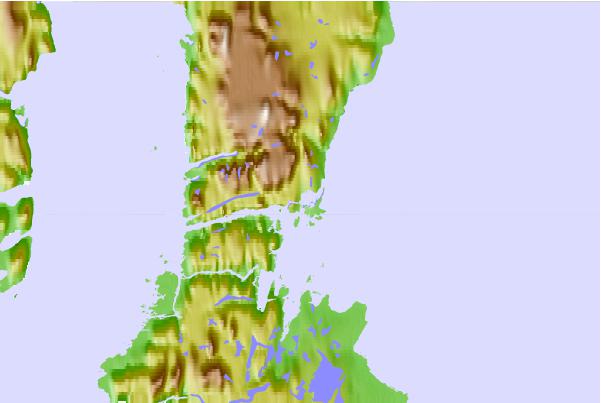
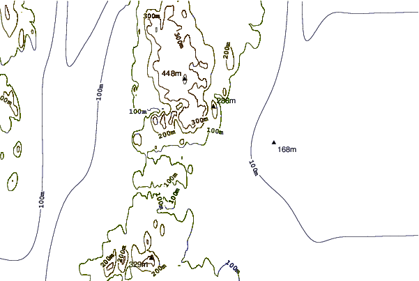
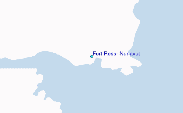
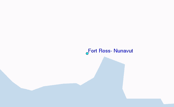
Use this relief map to navigate to tide stations, surf breaks and cities that are in the area of Fort Ross, Nunavut.
Other Nearby Locations' tide tables and tide charts to Fort Ross, Nunavut:
click location name for more details
 Surf breaks close to Fort Ross, Nunavut:
|
||
|---|---|---|
| Closest surf break | Graveyards | 1500 mi |
| Second closest surf break | Cannon Beach | 1501 mi |
| Third closest surf break | Ocean Cape | 1501 mi |
| Fourth closest surf break | Marathon | 1628 mi |
| Fifth closest surf break | Tow Hill Beach | 1659 mi |


 Nearest
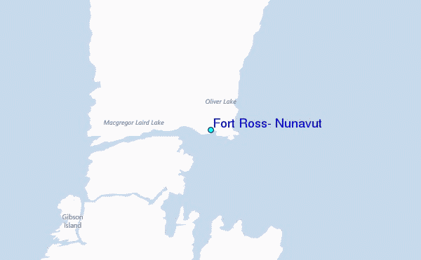