
| Distance / Altitude | Location | Report Date / Time | Live Weather | Wind | Gusts | Temp. | Visibility | Cloud |
|---|---|---|---|---|---|---|---|---|
| 22 km SSE / 59 m | Stephenville Rcs- Nfld (Canada) | 2026-05-26 04:30 local (2026/05/26 07:00 GMT) | - | light winds from the WSW (7 km/h at 240) | — | - | - - - | |
| 22 km SSE / 22 m | Kippens (Canada) | 2026-05-26 05:13 local (2026/05/26 07:43 GMT) | dry | calm (0 km/h at 86) | — | - | - - 0 | |
| 61 km ENE / 3 m | SHIP7475 (Marine) | 2026-05-26 03:30 local (2026/05/26 06:00 GMT) | light winds from the ENE (9 km/h at 70) | 7°C | - | |||
| 62 km ENE / 152 m | Corner Brook (Canada) | 2026-05-26 05:00 local (2026/05/26 07:30 GMT) | - | wind obs. (18 kph from 190 degs) was rejected (- km/h at -) | — | - | - no observation - | |
| 109 km ENE / 22 m | Deer Lake Airport (Canada) | 2026-05-26 04:30 local (2026/05/26 07:00 GMT) | - | light winds from the NE (19 km/h at 40) | — | 44 km | - mostly cloudy - | |
| 62 km ENE / 15 m | SHIP4783 (Marine) | 2026-05-26 03:30 local (2026/05/26 06:00 GMT) | light winds from the ENE (9.360000000000001 km/h at 70) | — | - km | |||
| 62 km ENE / 15 m | SHIP8435 (Marine) | 2026-05-26 03:30 local (2026/05/26 06:00 GMT) | light winds from the ENE (9.360000000000001 km/h at 70) | — | - km | |||
| 62 km ENE / 152 m | Corner Brook (Canada) | 2026-05-26 05:00 local (2026/05/26 07:30 GMT) | - | wind obs. (18 kph from 190 degs) was rejected (- km/h at -) | — | - | - no observation - | |
| 62 km ENE / 3 m | SHIP2400 (Marine) | 2026-05-26 03:30 local (2026/05/26 06:00 GMT) | light winds from the ENE (9 km/h at 70) | 7°C | - | |||
| 62 km ENE / 3 m | SHIP6830 (Marine) | 2026-05-26 03:30 local (2026/05/26 06:00 GMT) | light winds from the ENE (9 km/h at 70) | 7°C | - |
| Contours: | Roads & Rivers: | Select a
tide station / surf break / city |
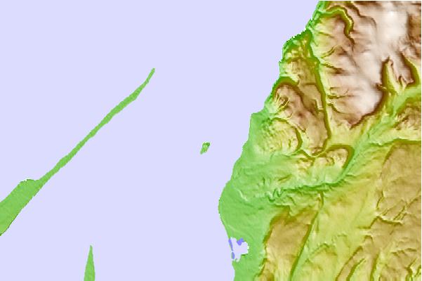
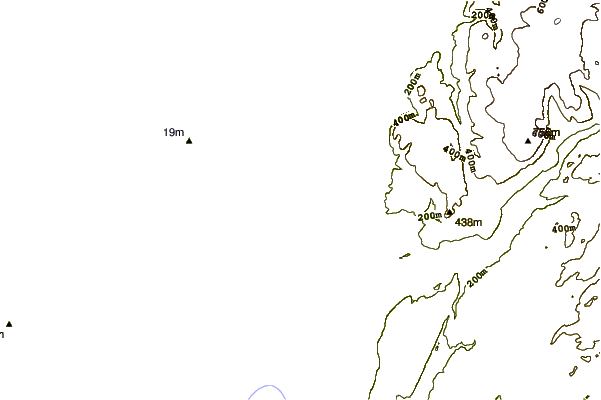
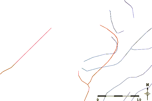
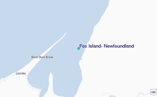
Use this relief map to navigate to tide stations, surf breaks and cities that are in the area of Fox Island, Newfoundland.
Other Nearby Locations' tide tables and tide charts to Fox Island, Newfoundland:
click location name for more details
 Surf breaks close to Fox Island, Newfoundland:
|
||
|---|---|---|
| Closest surf break | Ingonish Beach | 165 mi |
| Second closest surf break | Kennington Cove | 208 mi |
| Third closest surf break | Michaud Point | 238 mi |
| Fourth closest surf break | Martinique | 351 mi |
| Fifth closest surf break | Lawrencetown Left Point | 358 mi |


 Nearest
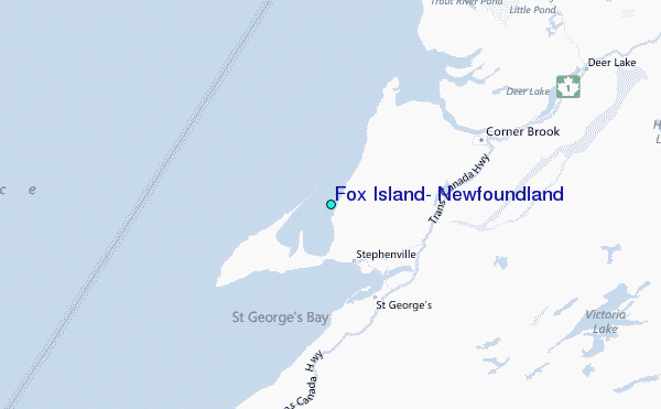