
| Distance / Altitude | Location | Report Date / Time | Live Weather | Wind | Gusts | Temp. | Visibility | Cloud |
|---|---|---|---|---|---|---|---|---|
| 2 km SSW / 3 m | SHIP1248 (Marine) | 2026-07-13 21:00 local (2026/07/14 01:00 GMT) | - (- km/h at -) | 30°C | - | |||
| 9 km ENE / 432 m | Freeport International Airport (Bahamas) | 2026-07-13 20:00 local (2026/07/14 00:00 GMT) | Dry and partly cloudy | light winds from the W (9 km/h at 260) | 31°C | 10.0 | few scattered | |
| 9 km ENE / 432 m | Freeport International Airport (Bahamas) | 2026-07-13 20:00 local (2026/07/14 00:00 GMT) | Dry and partly cloudy | light winds from the W (9 km/h at 260) | 31°C | 10.0 | few scattered | |
| 25 km SSE / 15 m | SHIP7280 (Marine) | 2026-07-13 19:00 local (2026/07/13 23:00 GMT) | - (- km/h at -) | — | - km | |||
| 25 km SSE / 3 m | SHIP4794 (Marine) | 2026-07-13 19:00 local (2026/07/13 23:00 GMT) | - (- km/h at -) | 31°C | - | |||
| 25 km SSE / 3 m | SHIP6106 (Marine) | 2026-07-13 19:00 local (2026/07/13 23:00 GMT) | - (- km/h at -) | 31°C | - | |||
| 25 km SSE / 15 m | SHIP8739 (Marine) | 2026-07-13 19:00 local (2026/07/13 23:00 GMT) | - (- km/h at -) | — | - km | |||
| 25 km SSE / 3 m | SHIP1337 (Marine) | 2026-07-13 19:00 local (2026/07/13 23:00 GMT) | - (- km/h at -) | 31°C | - | |||
| 25 km SSE / 15 m | SHIP3811 (Marine) | 2026-07-13 19:00 local (2026/07/13 23:00 GMT) | - (- km/h at -) | — | - km | |||
| 25 km SSE / 15 m | SHIP3214 (Marine) | 2026-07-13 19:00 local (2026/07/13 23:00 GMT) | - (- km/h at -) | — | - km |
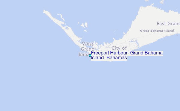
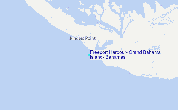
Choose Freeport Harbour, Grand Bahama Island, Bahamas Location Map Zoom:
| Contours: | Roads & Rivers: | Select a
tide station / surf break / city |
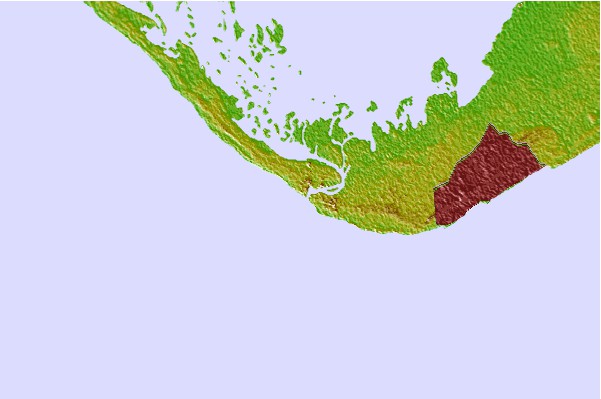
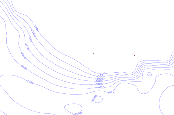
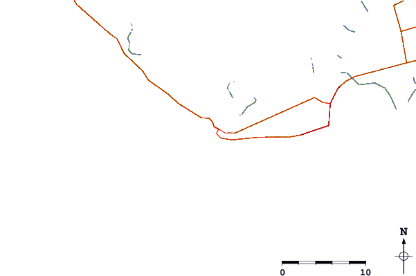
Use this relief map to navigate to tide stations, surf breaks and cities that are in the area of Freeport Harbour, Grand Bahama Island, Bahamas.
Other Nearby Locations' tide tables and tide charts to Freeport Harbour, Grand Bahama Island, Bahamas:
click location name for more details
 Surf breaks close to Freeport Harbour, Grand Bahama Island, Bahamas:
|
||
|---|---|---|
| Closest surf break | Boynton Inlet | 78 mi |
| Second closest surf break | Boynton Tortuga Beach | 78 mi |
| Third closest surf break | Lake Worth Pier | 78 mi |
| Fourth closest surf break | Lantana | 78 mi |
| Fifth closest surf break | Boynton Beach | 78 mi |


 Nearest