
| Distance / Altitude | Location | Report Date / Time | Live Weather | Wind | Gusts | Temp. | Visibility | Cloud |
|---|---|---|---|---|---|---|---|---|
| 6 km SSE / 2 m | Andros Town (Bahamas) | 2025-12-26 07:00 local (2025/12/26 12:00 GMT) | - | light winds from the W (6 km/h at 280) | — | |||
| 47 km NE / 204 m | Nassau International Airport (Bahamas) | 2025-12-26 06:00 local (2025/12/26 11:00 GMT) | - | light winds from the N (7 km/h at 350) | 21°C | 10.0 | few | |
| 49 km NE / 7 m | NassauAirportNew Providence (Bahamas) | 2025-12-26 06:00 local (2025/12/26 11:00 GMT) | - | light winds from the N (7 km/h at 350) | 21°C | 35 km | scattered | |
| 65 km NE / 3 m | SHIP2503 (Marine) | 2025-12-26 06:00 local (2025/12/26 11:00 GMT) | - (- km/h at -) | 23°C | - | |||
| 65 km NE / 3 m | SHIP5237 (Marine) | 2025-12-26 06:00 local (2025/12/26 11:00 GMT) | - (- km/h at -) | 23°C | - | |||
| 65 km NE / 15 m | SHIP6292 (Marine) | 2025-12-26 06:00 local (2025/12/26 11:00 GMT) | - (- km/h at -) | — | - km | |||
| 65 km NE / 3 m | SHIP7190 (Marine) | 2025-12-26 06:00 local (2025/12/26 11:00 GMT) | - (- km/h at -) | 23°C | - | |||
| 65 km NE / 3 m | SHIP1693 (Marine) | 2025-12-26 06:00 local (2025/12/26 11:00 GMT) | - (- km/h at -) | 23°C | - | |||
| 75 km NNE / 15 m | SHIP6910 (Marine) | 2025-12-26 05:00 local (2025/12/26 10:00 GMT) | - (- km/h at -) | — | - km | |||
| 75 km NNE / 3 m | SHIP2349 (Marine) | 2025-12-26 05:00 local (2025/12/26 10:00 GMT) | - (- km/h at -) | 23°C | - |
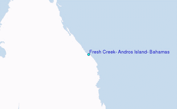
Choose Fresh Creek, Andros Island, Bahamas Location Map Zoom:
| Contours: | Roads & Rivers: | Select a
tide station / surf break / city |
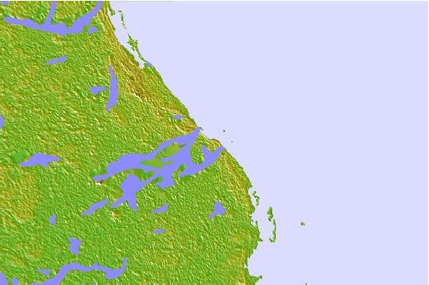
Use this relief map to navigate to tide stations, surf breaks and cities that are in the area of Fresh Creek, Andros Island, Bahamas.
Other Nearby Locations' tide tables and tide charts to Fresh Creek, Andros Island, Bahamas:
click location name for more details
 Surf breaks close to Fresh Creek, Andros Island, Bahamas:
|
||
|---|---|---|
| Closest surf break | Paradise Island | 39 mi |
| Second closest surf break | Egg Island | 83 mi |
| Third closest surf break | Whale Point Cut | 89 mi |
| Fourth closest surf break | Holiday Beach | 91 mi |
| Fifth closest surf break | Surfers Beach | 92 mi |


 Nearest
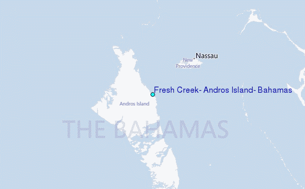