
| Distance / Altitude | Location | Report Date / Time | Live Weather | Wind | Gusts | Temp. | Visibility | Cloud |
|---|---|---|---|---|---|---|---|---|
| 65 km N / 17 m | Pelly Island- Nwt (Canada) | 2025-12-25 12:00 local (2025/12/25 20:00 GMT) | - | light winds from the WNW (11 km/h at 290) | — | - | - | |
| 66 km N / 2 m | Pelly Island Airport (Canada) | 2025-12-25 12:00 local (2025/12/25 20:00 GMT) | - | strong winds from the NW (46 km/h at 320) | — | 0.0 | ||
| 75 km ESE / 261 m | Storm Hills Airport (Canada) | 2025-12-25 11:00 local (2025/12/25 19:00 GMT) | no report | - (- km/h at -) | — | - | - - - | |
| 96 km ESE / 197 m | Trail Valley Airport (N.w. Territories) | 2025-12-25 12:00 local (2025/12/25 20:00 GMT) | - | moderate winds from the NNW (28 km/h at 330) | -16°C | 0.0 | ||
| 97 km ESE / 85 m | Trail Valley (Canada) | 2025-12-25 13:00 local (2025/12/25 21:00 GMT) | - | calm (4 km/h at 340) | — | - | - - - | |
| 116 km ENE / 6 m | Tuktoyaktuk-Nwt (Canada) | 2025-12-25 13:00 local (2025/12/25 21:00 GMT) | - | light winds from the NNW (15 km/h at 330) | — | - | no observation | |
| 117 km ENE / 155 m | Tuktoyaktuk Airport (N.w. Territories) | 2025-12-25 12:00 local (2025/12/25 20:00 GMT) | Blowing moderate snow | moderate winds from the N (20 km/h at 350) | -23°C | 10 | scattered | |
| 122 km SE / 85 m | Inuvik Airport (Northwest Territories) | 2025-12-25 12:00 local (2025/12/25 20:00 GMT) | - | moderate winds from the NW (26 km/h at 320) | -16°C | 0.0 | - - - | |
| 122 km SE / 85 m | Inuvik (Canada) | 2025-12-25 13:00 local (2025/12/25 21:00 GMT) | - | moderate winds from the NW (22 km/h at 310) | -17°C | - | no observation | |
| 126 km SE / 216 m | Inuvik Airport (N.w. Territories) | 2025-12-25 12:37 local (2025/12/25 20:37 GMT) | - | moderate winds from the WNW (22 km/h at 300) | — | 0.0 | - - - |
| Contours: | Roads & Rivers: | Select a
tide station / surf break / city |
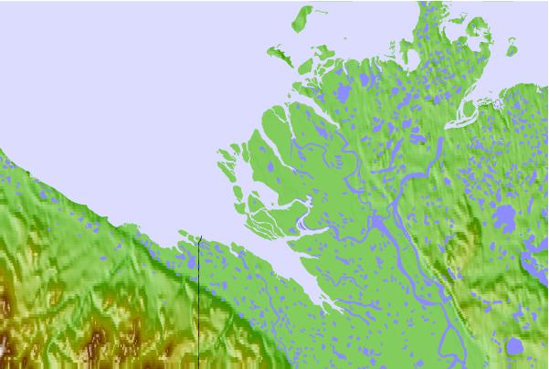
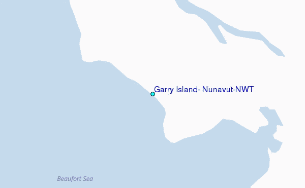
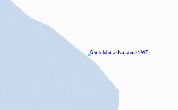
Use this relief map to navigate to tide stations, surf breaks and cities that are in the area of Garry Island, Nunavut/NWT.
Other Nearby Locations' tide tables and tide charts to Garry Island, Nunavut/NWT:
click location name for more details
 Surf breaks close to Garry Island, Nunavut/NWT:
|
||
|---|---|---|
| Closest surf break | Graveyards | 667 mi |
| Second closest surf break | Ocean Cape | 668 mi |
| Third closest surf break | Cannon Beach | 671 mi |
| Fourth closest surf break | Bird Point (Tidal Bore) | 732 mi |
| Fifth closest surf break | Termination Point | 923 mi |


 Nearest
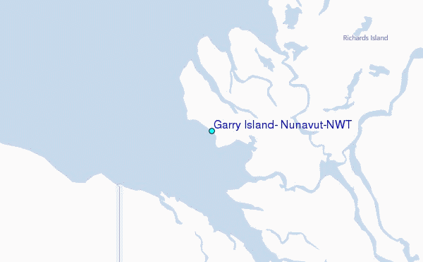