
| Distance / Altitude | Location | Report Date / Time | Live Weather | Wind | Gusts | Temp. | Visibility | Cloud |
|---|---|---|---|---|---|---|---|---|
| 5 km SSW / 234 m | North Vancouver (Canada) | 2026-07-03 22:20 local (2026/07/04 05:20 GMT) | dry | calm (0 km/h at 359) | 15°C | - | - - 0 | |
| 7 km S / 167 m | North Vancouver (Canada) | 2026-07-03 22:14 local (2026/07/04 05:14 GMT) | dry | calm (2 km/h at 43) | 16°C | - | - - 0 | |
| 10 km SW / 706 m | West Vancouver Airport (British Columbia) | 2026-07-03 21:00 local (2026/07/04 04:00 GMT) | - | calm (2 km/h at 10) | 17°C | 0.0 | ||
| 11 km SE / 99 m | Deep Cove wx (Canada) | 2026-07-03 22:28 local (2026/07/04 05:28 GMT) | dry | calm (2 km/h at 246) | 17°C | - | - - 0 | |
| 12 km SW / 170 m | West Vancouver Aut- BC (Canada) | 2026-07-03 20:00 local (2026/07/04 03:00 GMT) | no report | calm (4 km/h at 30) | 15°C | - | - - - | |
| 13 km S / 2 m | Vancouver Harbour Cs- BC (Canada) | 2026-07-03 22:00 local (2026/07/04 05:00 GMT) | no report | - (- km/h at -) | 14°C | - | - | |
| 14 km S / 13 m | Vancouver (Canada) | 2026-07-03 22:47 local (2026/07/04 05:47 GMT) | dry | wind obs. (6 kph from 111 degs) was rejected (- km/h at -) | 18°C | - | - - 0 | |
| 16 km SSE / 137 m | Burnaby (British Columbia) | 2026-07-03 22:20 local (2026/07/04 05:20 GMT) | dry | calm (3 km/h at 116) | 17°C | - | - - 0 | |
| 16 km SSE / 30 m | Burnaby (Canada) | 2026-07-03 22:31 local (2026/07/04 05:31 GMT) | dry | calm (0 km/h at 115) | 17°C | - | - - 0 | |
| 17 km SW / 13 m | Point Atkinson- BC (Canada) | 2026-07-03 20:00 local (2026/07/04 03:00 GMT) | no report | calm (0 km/h at 260) | 16°C | - | - - - |
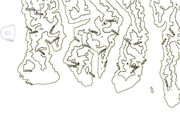
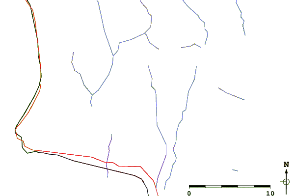
| Contours: | Roads & Rivers: | Select a
tide station / surf break / city |
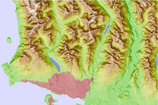
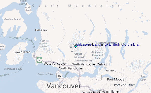
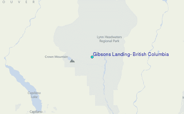
Use this relief map to navigate to tide stations, surf breaks and cities that are in the area of Gibsons Landing, British Columbia.
Other Nearby Locations' tide tables and tide charts to Gibsons Landing, British Columbia:
click location name for more details
 Surf breaks close to Gibsons Landing, British Columbia:
|
||
|---|---|---|
| Closest surf break | Ambleside Park | 7 mi |
| Second closest surf break | Jordan River | 81 mi |
| Third closest surf break | China Beach | 82 mi |
| Fourth closest surf break | Fort. Ebey | 82 mi |
| Fifth closest surf break | Sombrio Beach | 83 mi |


 Nearest
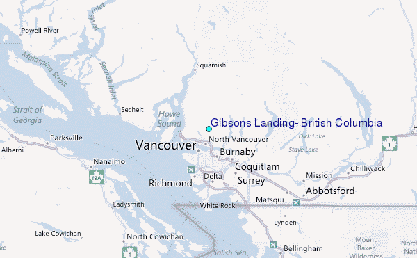