
| Distance / Altitude | Location | Report Date / Time | Live Weather | Wind | Gusts | Temp. | Visibility | Cloud |
|---|---|---|---|---|---|---|---|---|
| 42 km SSE / 27 m | MarticotIsland-Nfld (Canada) | 2026-05-27 00:30 local (2026/05/27 03:00 GMT) | no report | wind obs. (11 kph from 220 degs) was rejected (- km/h at -) | 9°C | - | - no observation - | |
| 73 km SE / 19 m | Argentia(Aut)-Nfld (Canada) | 2026-05-27 00:30 local (2026/05/27 03:00 GMT) | - | fresh winds from the ENE (31 km/h at 60) | 5°C | - | - no observation - | |
| 73 km SE / 216 m | Argentia Airport (Newfoundland) | 2026-05-26 23:30 local (2026/05/27 02:00 GMT) | - | fresh winds from the ENE (31 km/h at 60) | 4°C | 0.0 | ||
| 82 km SW / 13 m | Sagona Island Airport (Newfoundland) | 2026-05-26 23:30 local (2026/05/27 02:00 GMT) | - | gales from the NNE (65 km/h at 30) | — | 0.0 | ||
| 83 km SW / 60 m | Sagona Island- Nfld (Canada) | 2026-05-27 00:30 local (2026/05/27 03:00 GMT) | no report | gales from the NNE (65 km/h at 20) | 4°C | - | - no observation - | |
| 83 km W / 1 m | Saint Albans (Canada) | 2026-05-27 00:30 local (2026/05/27 03:00 GMT) | no report | wind obs. (7 kph from 290 degs) was rejected (- km/h at -) | 11°C | - | - no observation - | |
| 95 km S / 48 m | ST Lawrence- Nfld (Canada) | 2026-05-27 00:30 local (2026/05/27 03:00 GMT) | No report | strong winds from the NE (39 km/h at 40) | 3°C | - | - no observation - | |
| 113 km E / 32 m | Bay Roberts (Newfoundland) | 2026-05-27 01:09 local (2026/05/27 03:39 GMT) | dry | light winds from the NE (10 km/h at 56) | 3°C | - | - - 0 | |
| 116 km NNE / 107 m | TerraNovaNat Park Cs- Nfld (Canada) | 2026-05-27 00:30 local (2026/05/27 03:00 GMT) | - | light winds from the ENE (11 km/h at 60) | 2°C | - | no observation | |
| 116 km NNE / 216 m | Terra Nova Airport (Newfoundland) | 2026-05-26 23:30 local (2026/05/27 02:00 GMT) | - | light winds from the ENE (11 km/h at 70) | 2°C | 0.0 |
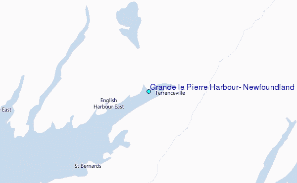
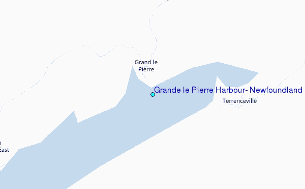
Choose Grande le Pierre Harbour, Newfoundland Location Map Zoom:
| Contours: | Roads & Rivers: | Select a
tide station / surf break / city |
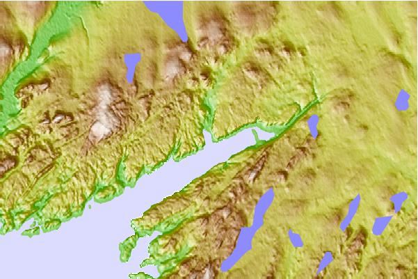
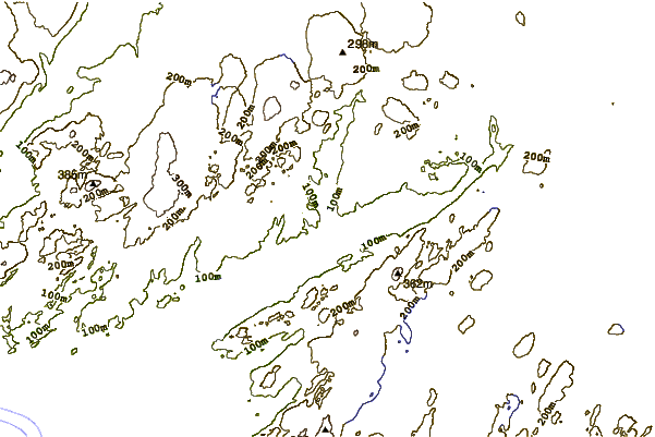
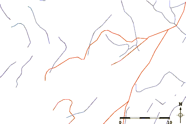
Use this relief map to navigate to tide stations, surf breaks and cities that are in the area of Grande le Pierre Harbour, Newfoundland.
Other Nearby Locations' tide tables and tide charts to Grande le Pierre Harbour, Newfoundland:
click location name for more details
 Surf breaks close to Grande le Pierre Harbour, Newfoundland:
|
||
|---|---|---|
| Closest surf break | Ingonish Beach | 273 mi |
| Second closest surf break | Kennington Cove | 279 mi |
| Third closest surf break | Michaud Point | 315 mi |
| Fourth closest surf break | Martinique | 451 mi |
| Fifth closest surf break | Lawrencetown Left Point | 459 mi |


 Nearest
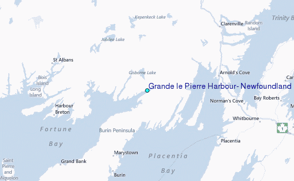